Conception Bay South, town in Newfoundland and Labrador, Canada
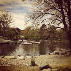
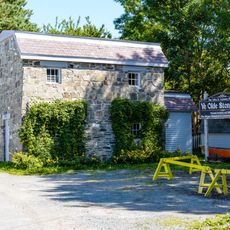
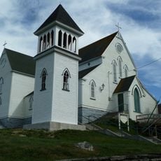
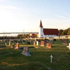
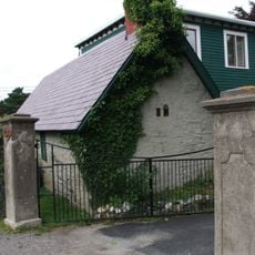
Conception Bay South è una città a Terranova e Labrador composta da diversi quartieri, ognuno con il proprio carattere. Scuole, negozi, chiese e centri comunitari formano la spina dorsale della vita quotidiana, insieme a parchi e aree ricreative dove famiglie e vicini si riuniscono.
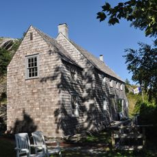
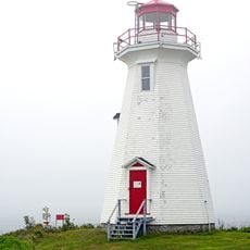
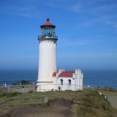
La città è cresciuta da una comunità di pesca prospera il cui retaggio continua nelle tradizioni e nei valori locali. Questo background di lavoro marittimo e cooperazione ha plasmato il carattere della comunità e rimane centrale nel modo in cui i residenti comprendono il loro luogo.
La città ha radici profonde nella cultura della pesca che i residenti continuano a condividere attraverso storie e tradizioni. Questi legami marittimi plasmano come la gente si vede se stessa e vengono celebrati durante riunioni comunitarie e eventi locali.
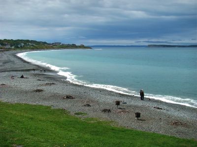
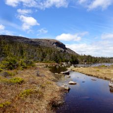
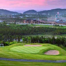
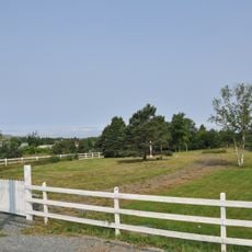
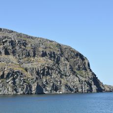
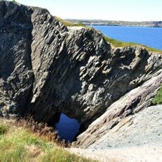
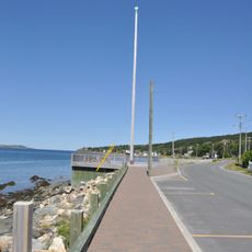
La città è percorribile a piedi e facile da esplorare, con abitanti amichevoli che fanno sentire i visitatori benvenuti. Luoghi popolari come Topsail Beach e Topsail Mountain sono facilmente accessibili e offrono escursionismo, relax in riva all'acqua e viste panoramiche.
La città è conosciuta dal motto 'Bright Town, Bright Future' e ha un clima notevolmente più mite con cieli più chiari rispetto alle aree vicine. Questa combinazione di spirito amichevole e condizioni più piacevoli la rende una destinazione sorprendentemente accogliente.
La comunità dei viaggiatori curiosi
AroundUs riunisce migliaia di luoghi selezionati, consigli locali e gemme nascoste, arricchiti ogni giorno da oltre 60,000 contributori in tutto il mondo.