
Denkmal für die Gefallenen des 1. Weltkrieges Dorfring 33, ortsgeschichtlich von Bedeutung Natursteinsockel mit Inschrifttafel zur Zeit durch Windbruch umgestürzt
Posizione: Wiedemar
Inizio: 1918
Indirizzo: Dorfring 33 (bei)
Coordinate GPS: 51.53959,12.22480
Ultimo aggiornamento: 25 ottobre 2025 alle 22:57
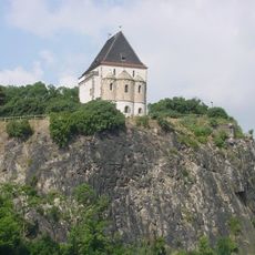
Doppelkapelle Sanctae Crucis
4.5 km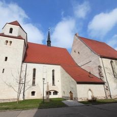
Stadt- und Klosterkirche St. Jakobus und St. Clemens (Brehna)
2.1 km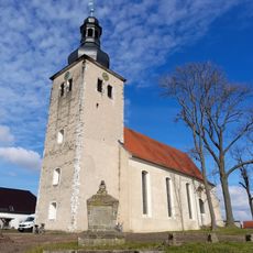
Dorfkirche Gollma
4.9 km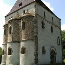
St. Crucis
4.5 km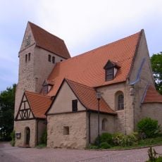
Stadtkirche St. Nicolai (Landsberg, Saalekreis)
4.7 km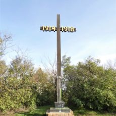
Kriegerdenkmal Landsberg
4.5 km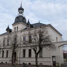
Neues Rathaus
2.5 km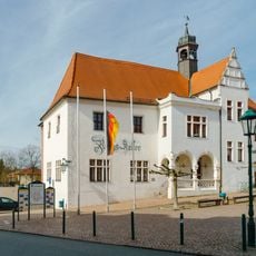
Rathaus Landsberg
4.9 km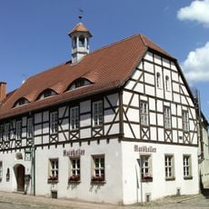
Altes Rathaus Brehna
2.3 km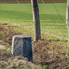
Meilenstein
4.5 km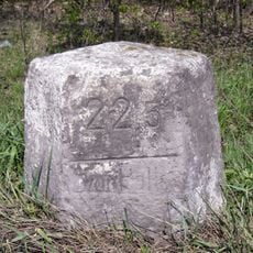
Meilenstein
4.6 km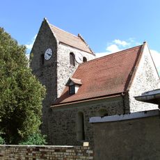
St. Ursulakirche
3.7 km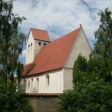
Kirche mit Ausstattung Zur Kirchgasse -
4.8 km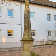
Polish-Saxon Post Milestone Brehna
2.2 km
Dorfkirche Klitschmar
4.8 km
St. Gallus Zschernitz
1.3 km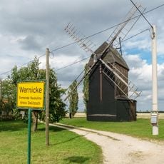
Dornmühle Kleinkyhna
3.4 km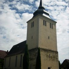
Dorfkirche Kyhna
3.9 km
Wohnhaus eines Bauernhofes, mit Vorgarten und Einfriedung Ringstraße 3
2.4 km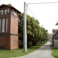
Transformatorenturm Zaasch
3.6 km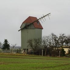
Windmühle Peterwitz
4.7 km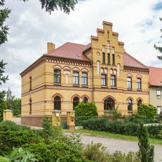
Wohnhaus eines Bauernhofes, mit Vorgarten und Einfriedung Kirchring 20
3.9 km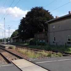
Bahnhof Klitschmar Klitschmar
3.5 km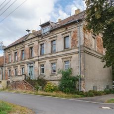
Am Herrenhaus 2
4.6 km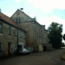
Am Herrenhaus 4
4.6 km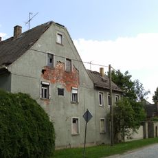
Wohnhaus eines Bauernhofes, mit Anbau sowie Gedenktafel für J. G. Stallbaum Roitzscher Straße 10
3.7 km
Felsenbühne Landsberg
4.5 km
Doppelkapelle St. Crucis
4.5 kmRecensioni
Ha visitato questo luogo? Tocchi le stelle per valutarlo e condividere la Sua esperienza o foto con la community! Provalo ora! Puoi annullarlo in qualsiasi momento.
Scopri tesori nascosti ad ogni viaggio!
Da piccoli caffè caratteristici a panorami nascosti, fuggi dalla folla e scova i posti che fanno davvero per te. La nostra app ti semplifica tutto: ricerca vocale, filtri furbi, percorsi ottimizzati e dritte autentiche da viaggiatori di tutto il mondo. Scaricala subito per vivere l'avventura sul tuo smartphone!

Un nuovo approccio alla scoperta turistica❞
— Le Figaro
Tutti i luoghi che meritano di essere esplorati❞
— France Info
Un’escursione su misura in pochi clic❞
— 20 Minutes