
Perloja, farm village in Lithuania
Posizione: Varėna District Municipality
Altezza sopra il mare: 109 m
Coordinate GPS: 54.21444,24.41444
Ultimo aggiornamento: 28 marzo 2025 alle 17:37
Parco nazionale di Dzūkija
15 km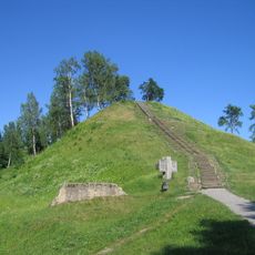
Merkinė hillfort
16.3 km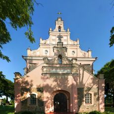
Church of the Assumption, Merkinė
16.1 km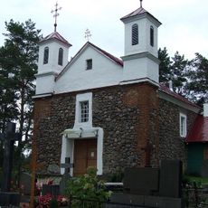
Church of St. Michael the Archangel, Babriškės
13.6 km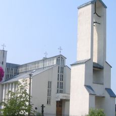
Church of St. Michael the Archangel, Senoji Varėna
9.5 km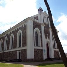
Church of the Providence of God in Daugai
16.8 km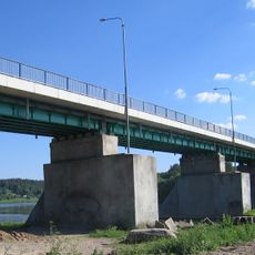
Merkinė bridge
16.5 km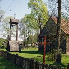
Akmenes Jēzus katoļu baznīca
16.7 km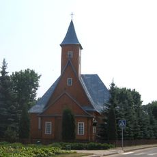
Church of St. Michael the Archangel, Varėna
10.3 km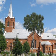
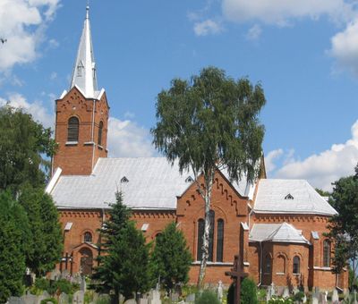
Church of the Blessed Virgin Mary and St. Francis of Assisi, Perloja
280 m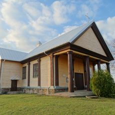
Church of the Holy Trinity, Alovė
21.8 km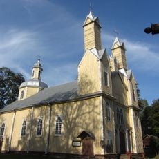
Church of St. Simon and St. Jude Thaddeus the Apostles, Marcinkonys
16.1 km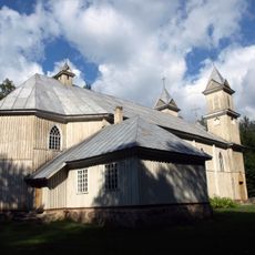
Church of the Blessed Virgin Mary of Perpetual Help, Rudnia
22.7 km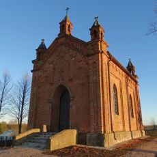
Chapel in Bukaučiškės
12 km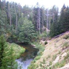
Mančiagirės skardžiai
11.1 km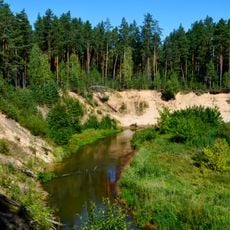
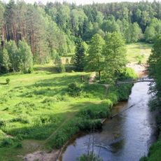
Ula Landscape Reserve
19.4 km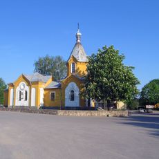
Orthodox church in Merkinė
16 km
Zervynų ąžuolas
12.8 km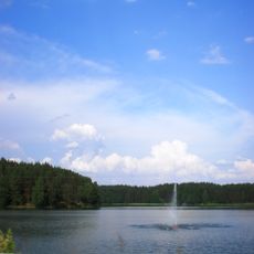
Varėnos Pirmosios tvenkinys
10.3 km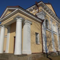
Church of the Holy Trinity, Nedzingė
6.7 kmMikniūnų piliakalnis
9.9 km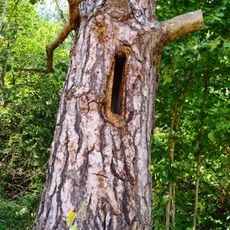
Zervynos village hollow pines
13.3 km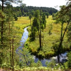
Grūda Hydrographical Reserve
13.1 kmMaksimonių gyvenvietė
19.2 kmDvarčių piliakalnis
5.1 kmRudnios stovyklavietės
21.6 km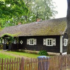
Subartonys Landscape Reserve
15.2 kmZervynų senovės gyvenvietė
13 kmHa visitato questo luogo? Tocchi le stelle per valutarlo e condividere la Sua esperienza o foto con la community! Provalo ora! Puoi annullarlo in qualsiasi momento.
Scopri tesori nascosti ad ogni viaggio!
Da piccoli caffè caratteristici a panorami nascosti, fuggi dalla folla e scova i posti che fanno davvero per te. La nostra app ti semplifica tutto: ricerca vocale, filtri furbi, percorsi ottimizzati e dritte autentiche da viaggiatori di tutto il mondo. Scaricala subito per vivere l'avventura sul tuo smartphone!

Un nuovo approccio alla scoperta turistica❞
— Le Figaro
Tutti i luoghi che meritano di essere esplorati❞
— France Info
Un’escursione su misura in pochi clic❞
— 20 Minutes