
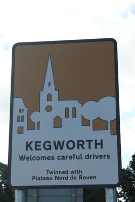
Kegworth, villaggio e parrocchia civile dell'Inghilterra
Posizione: Kegworth
Coordinate GPS: 52.83694,-1.28361
Ultimo aggiornamento: 12 marzo 2025 alle 12:37
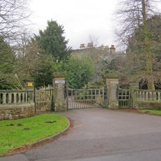
Lockington Hall
2 km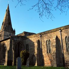
Holy Trinity Church, Ratcliffe-on-Soar
2.3 km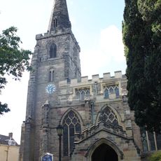
Church of St Andrew
423 m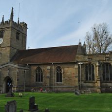
St. Winifred's Church, Kingston on Soar
2 km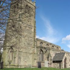
Church of St Nicholas
1.9 km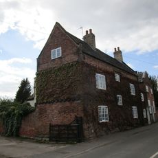
Number 143 And Attached Cottage And Chapel
2.4 km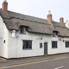
Cottage Restaurant
292 m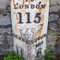
Milepost Opposite Junction With Borough Street
287 m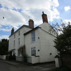
The White House And Attached Wall And Railings
2.3 km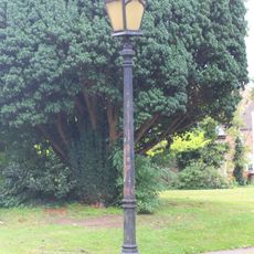
Lamp Post Approximately 5 Metres South Of Porch Of Church Of St Andrew
415 m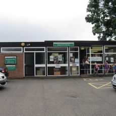
Kegworth Library
177 m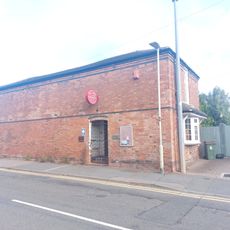
Kegworth Heritage Centre
212 m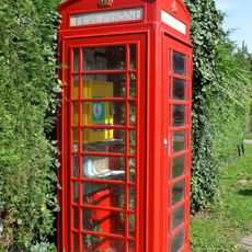
K6 Telephone Kiosk
2 km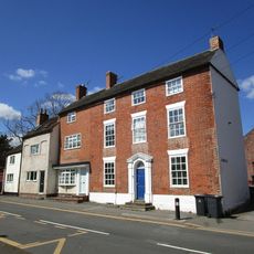
Flat 1 Flat 2 Flat 3
175 m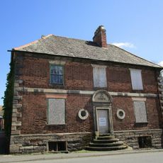
The Great House
521 m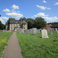
The Old Vicarage
1.8 km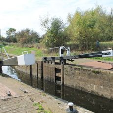
Kegworth Shallow Lock
1.1 km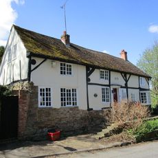
Harrison House
448 m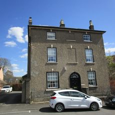
20, Market Place
503 m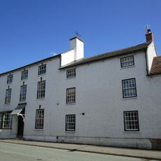
The Cedars
559 m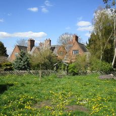
21, 23, 25 And 27, The Green
2 km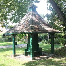
Pumphouse
2 km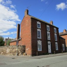
Lodge Farmhouse
553 m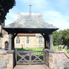
Lychgate At Entrance To Churchyard Of Church Of St Winifred
2 km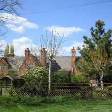
9, 11, 15, 17 And 19, The Green
2 km
Old Lock River Soar
830 m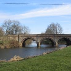
Kegworth Bridge
1 km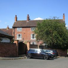
Daleacre Farmhouse
2 kmHa visitato questo luogo? Tocchi le stelle per valutarlo e condividere la Sua esperienza o foto con la community! Provalo ora! Puoi annullarlo in qualsiasi momento.
Scopri tesori nascosti ad ogni viaggio!
Da piccoli caffè caratteristici a panorami nascosti, fuggi dalla folla e scova i posti che fanno davvero per te. La nostra app ti semplifica tutto: ricerca vocale, filtri furbi, percorsi ottimizzati e dritte autentiche da viaggiatori di tutto il mondo. Scaricala subito per vivere l'avventura sul tuo smartphone!

Un nuovo approccio alla scoperta turistica❞
— Le Figaro
Tutti i luoghi che meritano di essere esplorati❞
— France Info
Un’escursione su misura in pochi clic❞
— 20 Minutes