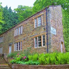
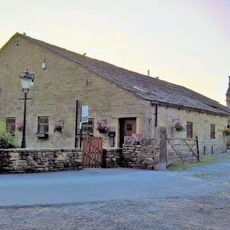
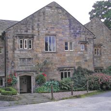
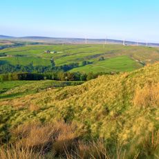
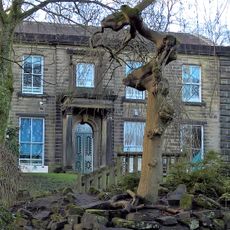
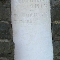
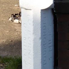
Cliviger, A civil parish, located in the Borough of Burnley, United Kingdom
Posizione: Burnley
Coordinate GPS: 53.76500,-2.20600
Ultimo aggiornamento: 29 aprile 2025 alle 11:14
Singing Ringing Tree
1.7 km
Towneley Hall Art Gallery and Museum
1.5 km
Holme Hall, Cliviger
2 km
Church of St John the Divine, Holme Chapel
1.8 km
Towneley Hall
1.5 km
Church of St Stephen
2.6 km
Church of St Michael and All Angels
5.8 km
Hufling Hall
2.6 km
Weir and District War Memorial
3.2 km
Wayside cross known as Mount Cross
5.6 km
War Memorial Approximately 100 Metres East of Towneley Hall
1.4 km
Museum of Local Crafts And Industries
1.5 km
Municipal Boundary Stone
2.5 km
Barn Circa 20 Metres South West Of Moorfell Farmhouse
2.3 km
Hurstwood Hall
2.2 km
Finsley House
3 km
Foldys Cross Approximately 300 Metres South West Of Towneley Hall
1.5 km
Barn On North East Side Of Road Opposite Hurstwood Hall
2.2 km
Cliviger War Memorial
1.7 km
Thieveley lead mine 330m south west and 910m WSW of Buckleys
2.2 km
Towneley Hall
1.5 km
Spring Bank
2.7 km
Rockwood
2.4 km
Milestone To North Of Number 606 (Black Rock) At Ngr Sd 914260
6.2 km
Milestone To Front Of Number 927 At Ngr Sd 899261
5 km
Ice house at Towneley Hall
1.7 km
1135-1141, Burnley Road East
4.6 km
Park View
2.4 kmRecensioni
Ha visitato questo luogo? Tocchi le stelle per valutarlo e condividere la Sua esperienza o foto con la community! Provalo ora! Puoi annullarlo in qualsiasi momento.
Scopri tesori nascosti ad ogni viaggio!
Da piccoli caffè caratteristici a panorami nascosti, fuggi dalla folla e scova i posti che fanno davvero per te. La nostra app ti semplifica tutto: ricerca vocale, filtri furbi, percorsi ottimizzati e dritte autentiche da viaggiatori di tutto il mondo. Scaricala subito per vivere l'avventura sul tuo smartphone!
Un nuovo approccio alla scoperta turistica❞
— Le Figaro
Tutti i luoghi che meritano di essere esplorati❞
— France Info
Un’escursione su misura in pochi clic❞
— 20 Minutes