
Ashwater, village in United Kingdom
Posizione: Torridge District
Coordinate GPS: 50.76065,-4.27833
Ultimo aggiornamento: 11 marzo 2025 alle 14:00
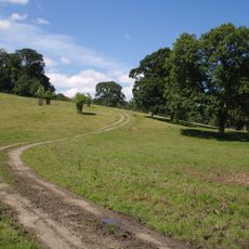
Dunsland
7.1 km
St Peter's and St Paul's Church, Holsworthy
7.6 km
St James's Church, Luffincott
7.1 km
Church of St Peter and St James
3.6 km
Church of St Petrock
5.2 km
Church of St Denis, North Tamerton
8.2 km
Church of St Albans
6.8 km
Church of St John the Baptist and the Seven Maccabees
8 km
Church of St Giles
8.4 km
Church of St German
6 km
Church of St Peter
3 km
Church of St Leonard
4.7 km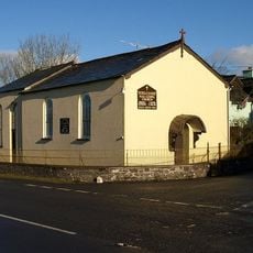
Methodist Chapel
6.4 km
Church of the Holy Cross
6.4 km
Church of St Bridget
5.7 km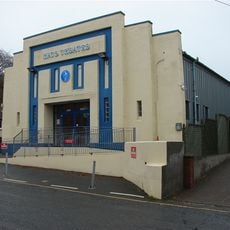
Hats Theatre
7.6 km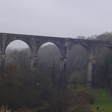
Derriton Viaduct
7.7 km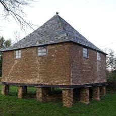
Granary About 30 Metres North West Of Tetcott Manor
6.5 km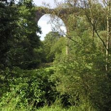
Holsworthy Viaduct
7.3 km
Home Farm
6.2 km
Eastacombe Farmhouse
4.2 km
Wayside cross at Halwill on a roadside 40m south east of the church
3.6 km
Range Of Farmbuildings About 30M South West Of Hayne Farmhouse
4.9 km
The Old Rectory
6.9 km
West Chilla Farmhouse
6.3 km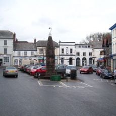
Market Cross
7.6 km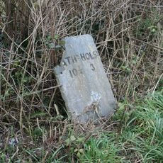
Milestone, 250m E of Stapledon Farm
5.8 km
Boyton Bridge
8.8 kmRecensioni
Ha visitato questo luogo? Tocchi le stelle per valutarlo e condividere la Sua esperienza o foto con la community! Provalo ora! Puoi annullarlo in qualsiasi momento.
Scopri tesori nascosti ad ogni viaggio!
Da piccoli caffè caratteristici a panorami nascosti, fuggi dalla folla e scova i posti che fanno davvero per te. La nostra app ti semplifica tutto: ricerca vocale, filtri furbi, percorsi ottimizzati e dritte autentiche da viaggiatori di tutto il mondo. Scaricala subito per vivere l'avventura sul tuo smartphone!

Un nuovo approccio alla scoperta turistica❞
— Le Figaro
Tutti i luoghi che meritano di essere esplorati❞
— France Info
Un’escursione su misura in pochi clic❞
— 20 Minutes