
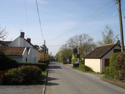
Swilland, village and civil parish in Suffolk, UK
Posizione: East Suffolk
Coordinate GPS: 52.13127,1.19660
Ultimo aggiornamento: 15 marzo 2025 alle 22:33
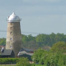
Burgh Windmill
4.4 km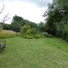
Brooke House Nature Reserve
1.5 km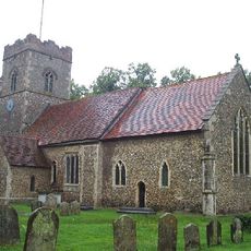
Church of St Peter
3.4 km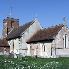
Church of All Saints
2.5 km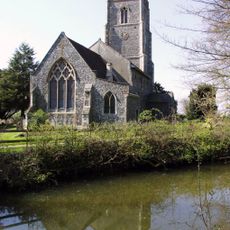
Church of St Mary the Virgin
2.5 km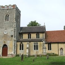
Church of St Mary
2.2 km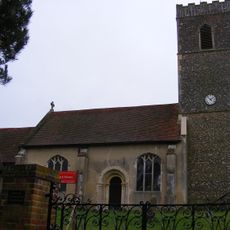
Church of St Martin
4.5 km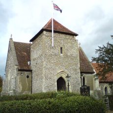
Church of St Botolph
4.4 km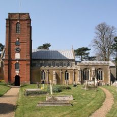
Church of St Mary
3.9 km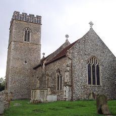
Church of St Botolph
3.5 km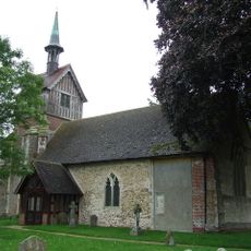
Church of St Mary
108 m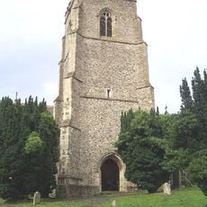
Church of St Mary
3.2 km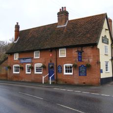
The Fountain Inn, Tuddenham
4.4 km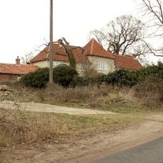
Culpho Hall
4.7 km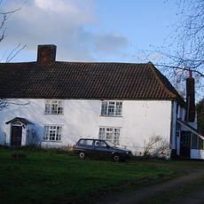
Swilland Hall
93 m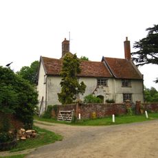
Newton Hall
1.3 km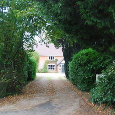
Culpho Manor
4.3 km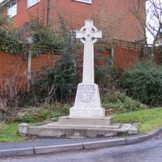
Witnesham War Memorial
2.8 km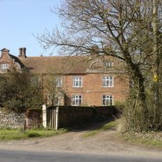
Westerfield Hall
4.7 km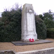
Grundisburgh Cenotaph
4 km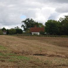
Akenham Hall
4.5 km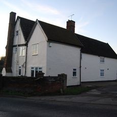
Manor Farmhouse
4.3 km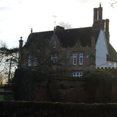
Witnesham Hall
2.4 km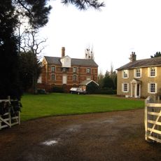
The Mill House
988 m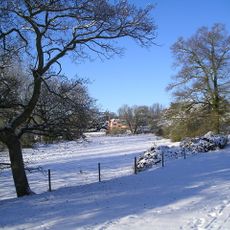
Grundisburgh Hall
4.5 km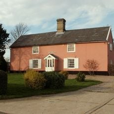
Coppings Farmhouse
2.1 km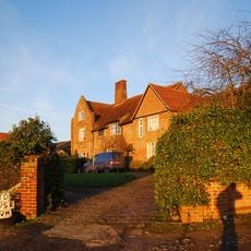
Red House
2.7 km
Abbey Farmhouse
4.1 kmHa visitato questo luogo? Tocchi le stelle per valutarlo e condividere la Sua esperienza o foto con la community! Provalo ora! Puoi annullarlo in qualsiasi momento.
Scopri tesori nascosti ad ogni viaggio!
Da piccoli caffè caratteristici a panorami nascosti, fuggi dalla folla e scova i posti che fanno davvero per te. La nostra app ti semplifica tutto: ricerca vocale, filtri furbi, percorsi ottimizzati e dritte autentiche da viaggiatori di tutto il mondo. Scaricala subito per vivere l'avventura sul tuo smartphone!

Un nuovo approccio alla scoperta turistica❞
— Le Figaro
Tutti i luoghi che meritano di essere esplorati❞
— France Info
Un’escursione su misura in pochi clic❞
— 20 Minutes