Chester, distretto con status di city dell'Inghilterra
Posizione: Cheshire
Inizio: 1 aprile 1974
Coordinate GPS: 53.18333,-2.88333
Ultimo aggiornamento: 6 marzo 2025 alle 23:07
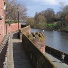
Chester city walls
494 m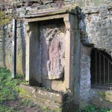
Minerva's Shrine, Chester
412 m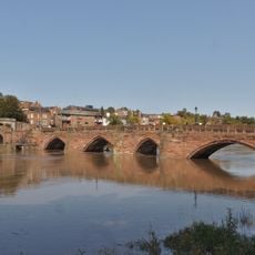
Old Dee Bridge
433 m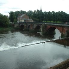
Chester Weir
441 m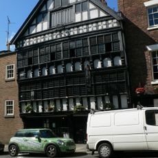
Bear and Billet
533 m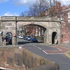
Bridgegate
510 m
Capital House, Chester
367 m
St Mary's Church, Handbridge
374 m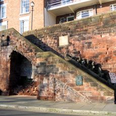
Recorder's Steps
520 m
Ye Olde Edgar
557 m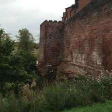
Barnaby's Tower
550 m
Shipgate House
575 m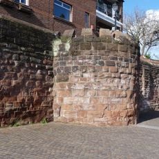
Unnamed drum tower 50 metres east of the Bridgegate
494 m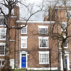
3, Bridge Place
537 m
The Carlton Tavern
103 m
Cross Keys Public House and raised forecourt
548 m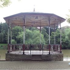
Chester Bandstand
529 m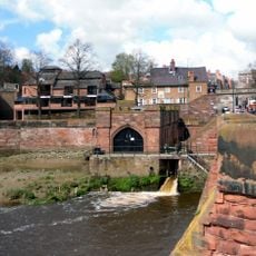
Pumping Station
497 m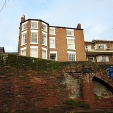
19, City Walls
520 m
4, Duke Street
551 m
Number 7, 9 and 11 and railings to forecourt
517 m
12 And 13, The Groves
574 m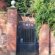
Garden wall to the Old Palace, with gates and overthrow
549 m
1, Bridge Place
543 m
Boys Club
348 m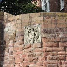
Part of City Walls from Bridgegate to Drum Tower 50 Metres East
502 m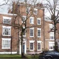
Number 5 and rear dwelling and attached wall
525 m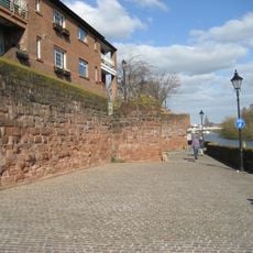
Part Of City Wall From Barnabys Tower To Tower East Of Bridgegate
512 mHa visitato questo luogo? Tocchi le stelle per valutarlo e condividere la Sua esperienza o foto con la community! Provalo ora! Puoi annullarlo in qualsiasi momento.
Scopri tesori nascosti ad ogni viaggio!
Da piccoli caffè caratteristici a panorami nascosti, fuggi dalla folla e scova i posti che fanno davvero per te. La nostra app ti semplifica tutto: ricerca vocale, filtri furbi, percorsi ottimizzati e dritte autentiche da viaggiatori di tutto il mondo. Scaricala subito per vivere l'avventura sul tuo smartphone!

Un nuovo approccio alla scoperta turistica❞
— Le Figaro
Tutti i luoghi che meritano di essere esplorati❞
— France Info
Un’escursione su misura in pochi clic❞
— 20 Minutes