
Derwentside, former local government area in Co.Durham, England
Posizione: County Durham
Inizio: 1 aprile 1974
Sito web: http://derwentside.gov.uk
Coordinate GPS: 54.86700,-1.76000
Ultimo aggiornamento: 21 marzo 2025 alle 11:52
Causey Arch
5.7 km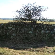
Longovicium
5.7 km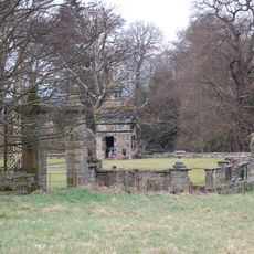
Hamsterley Hall
3.4 km
Vindomora
5.9 km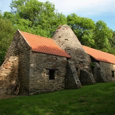
Derwentcote Steel Furnace
4.7 km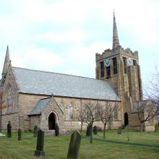
Church of St Andrew
4.2 km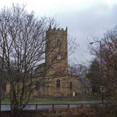
Church of All Saints
5.3 km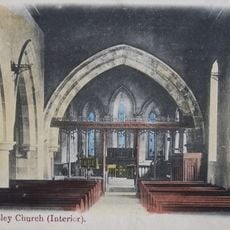
Church of St Mary Magdalene
4.1 km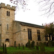
Church of St Margaret
4.4 km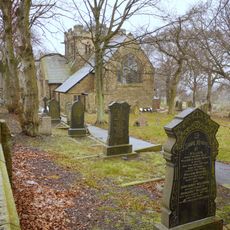
Church of St John
1 km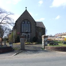
Church of St George
3.7 km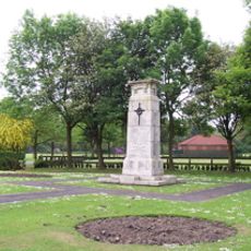
War Memorial in Annfield Plain Park
2 km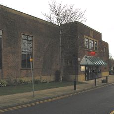
Lamplight Arts Centre
5.1 km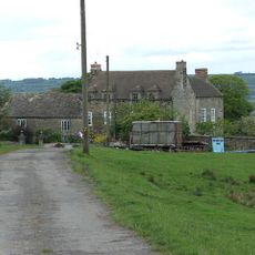
Pontop Hall
1.3 km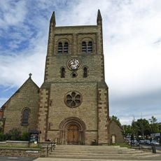
Christ Church, Consett
5 km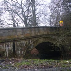
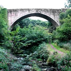
Pontburn Bridge
3.8 km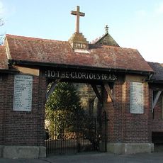
Burnhope War Memorial
5.3 km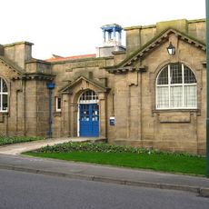
Annfield Plain Library
1.3 km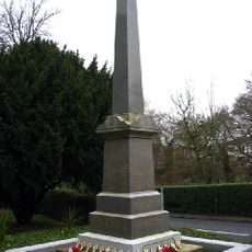
Burnopfield War Memorial
4.9 km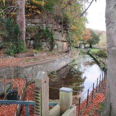
Mill Race Walls And Sluice With Piers And Sluice Keepers Shelter Adjacent
4.6 km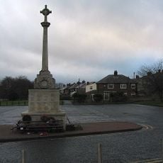
War Memorial at the Civic Centre
4.6 km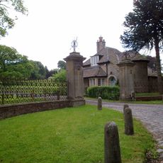
The Old Lodge At Hamsterley Hall And Wall Attached
3.8 km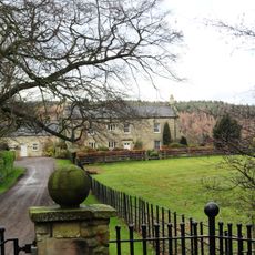
Derwent Oak Farm
4.3 km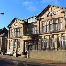
Derwentside Area Council Offices
4 km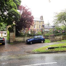
Tanfield Hall
4.5 km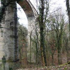
Pontburn Viaduct
3.9 km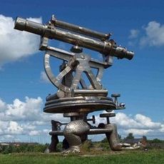
Terris Novalis
5.5 km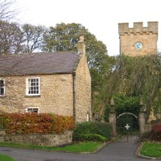
The Gatehouse
4.4 kmRecensioni
Ha visitato questo luogo? Tocchi le stelle per valutarlo e condividere la Sua esperienza o foto con la community! Provalo ora! Puoi annullarlo in qualsiasi momento.
Scopri tesori nascosti ad ogni viaggio!
Da piccoli caffè caratteristici a panorami nascosti, fuggi dalla folla e scova i posti che fanno davvero per te. La nostra app ti semplifica tutto: ricerca vocale, filtri furbi, percorsi ottimizzati e dritte autentiche da viaggiatori di tutto il mondo. Scaricala subito per vivere l'avventura sul tuo smartphone!

Un nuovo approccio alla scoperta turistica❞
— Le Figaro
Tutti i luoghi che meritano di essere esplorati❞
— France Info
Un’escursione su misura in pochi clic❞
— 20 Minutes