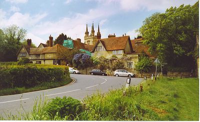
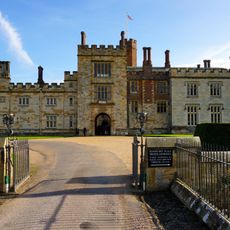
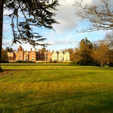
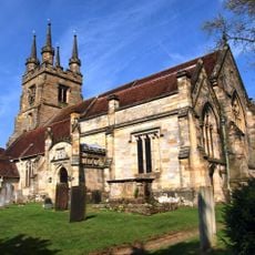
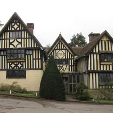
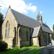
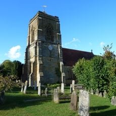
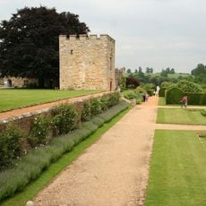
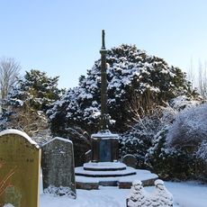
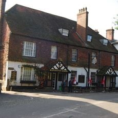
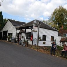
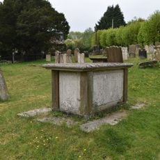
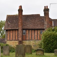
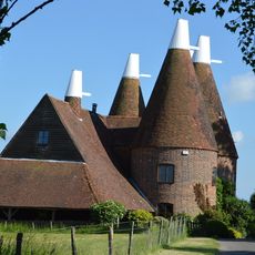
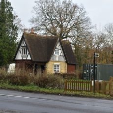
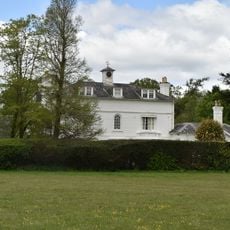
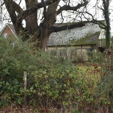
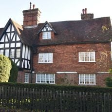
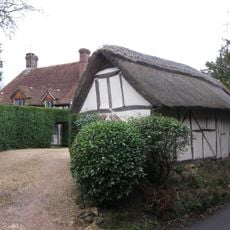
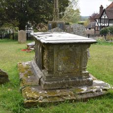
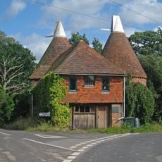
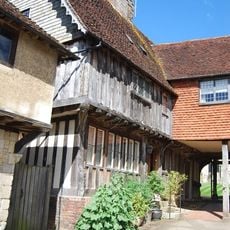
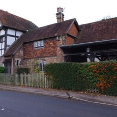
Penshurst, village and civil parish in Kent, England
Posizione: Sevenoaks
Confina con: Chiddingstone
Coordinate GPS: 51.17041,0.17997
Ultimo aggiornamento: 9 marzo 2025 alle 08:06
Penshurst Place
533 m
Swaylands
944 m
Church of St John the Baptist, Penshurst
430 m
The Picture House
2.2 km
Church of St Peter
3.1 km
Church of St Mary the Virgin
3.5 km
South central entrance tower to Penshurst Place and wall abutting to east
528 m
Speldhurst War Memorial
3.5 km
The Leicester Arms Hotel
330 m
The Spotted Dog Public House
1.6 km
Anonymous Chest Tomb Approximately 1.5 Metres South Of The Chancel Of The Church Of St Mary The Virgin
3.5 km
The Manor
3.6 km
The George And Dragon
3.6 km
The Old Farmhouse
3.1 km
Larkins Farmhouse
2.6 km
Old Place
3.5 km
Oast Houses And Drying Shed To South Of Larkins Farm
2.5 km
Langton Park Lodge
4.2 km
Killick's Bank
2.2 km
Langton House
4.6 km
Tender Meads
3.4 km
Shadwell
3.6 km
Barn Approximately 6 Metres North East Of Little Laverall
3 km
Morley Chest Tomb Approximately 7 Metres South Of The Tower Of The Church Of St Mary The Virgin
3.5 km
Triangle Oast
2.5 km
The Old Guildhouse
414 m
Star House Including Boutique
66 m
Forge Approximately 5 Metres North Of Forge House
4.6 kmRecensioni
Ha visitato questo luogo? Tocchi le stelle per valutarlo e condividere la Sua esperienza o foto con la community! Provalo ora! Puoi annullarlo in qualsiasi momento.
Scopri tesori nascosti ad ogni viaggio!
Da piccoli caffè caratteristici a panorami nascosti, fuggi dalla folla e scova i posti che fanno davvero per te. La nostra app ti semplifica tutto: ricerca vocale, filtri furbi, percorsi ottimizzati e dritte autentiche da viaggiatori di tutto il mondo. Scaricala subito per vivere l'avventura sul tuo smartphone!
Un nuovo approccio alla scoperta turistica❞
— Le Figaro
Tutti i luoghi che meritano di essere esplorati❞
— France Info
Un’escursione su misura in pochi clic❞
— 20 Minutes