
Potsgrove, village and civil parish in Bedfordshire, UK
Posizione: Central Bedfordshire
Coordinate GPS: 51.95000,-0.61667
Ultimo aggiornamento: 6 marzo 2025 alle 08:47

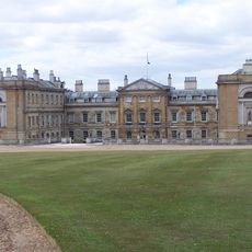
Woburn Abbey
3.9 km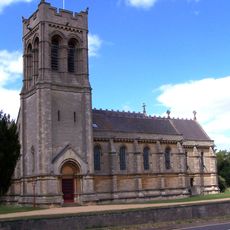
Church of Saint Mary
4.4 km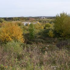
Double Arches Pit
1.6 km
Kings and Bakers Woods and Heaths
2.9 km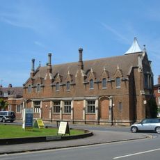
Town Hall
4.3 km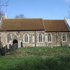
St Mary's Church, Potsgrove
1 km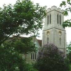
Church of St Peter, Milton Bryan
2.8 km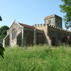
Church of St Peter & All Saints, Battlesden
775 m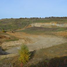
Nine Acres Pit
1.8 km
Stonehenge Works Station
1.7 km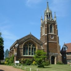
Old Church of St Mary
4.4 km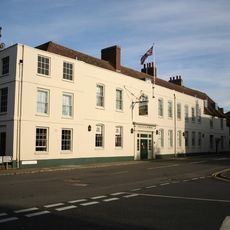
The Bedford Arms Hotel
4.3 km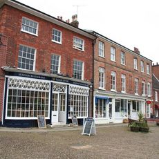
Atrium Antiques
4.3 km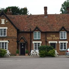
The Red Lion
2.6 km
Woburn Lower School
4.4 km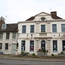
The Old Parsonage
4.4 km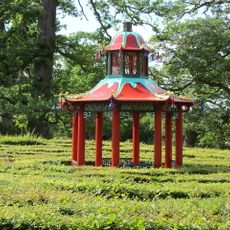
Chinese Pavilion, At Centre Of Maze
3.8 km
Sculpture Gallery, Adjoining South Side Of South Stableblock
3.9 km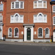
4-7, Market Place
4.3 km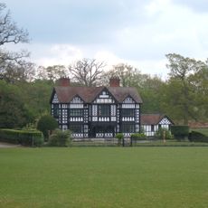
Paris House
2.8 km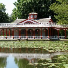
Chinese Dairy And Adjoining Covered Ways
4.1 km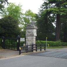
North Gatepier Of Pair Adjacent To Lion Lodge
4.5 km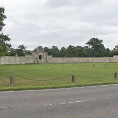
London Lodge, Gateway And Walls
2.4 km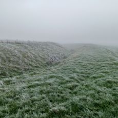
Moated site known as `The Hoult' and associated field system
2.6 km
Lion Lodge
4.4 km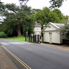
South Gatepier Of Pair Adjacent To Lion Lodge
4.4 km
The Gifford Gallery Woburn Fine Arts
4.4 km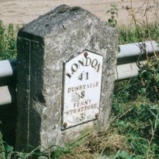
Milestone, Main Road; 50m NW of lane to Rammamere Farm and half mile NW of County Boundary, SE of Little Brickhill turn
3.7 kmHa visitato questo luogo? Tocchi le stelle per valutarlo e condividere la Sua esperienza o foto con la community! Provalo ora! Puoi annullarlo in qualsiasi momento.
Scopri tesori nascosti ad ogni viaggio!
Da piccoli caffè caratteristici a panorami nascosti, fuggi dalla folla e scova i posti che fanno davvero per te. La nostra app ti semplifica tutto: ricerca vocale, filtri furbi, percorsi ottimizzati e dritte autentiche da viaggiatori di tutto il mondo. Scaricala subito per vivere l'avventura sul tuo smartphone!

Un nuovo approccio alla scoperta turistica❞
— Le Figaro
Tutti i luoghi che meritano di essere esplorati❞
— France Info
Un’escursione su misura in pochi clic❞
— 20 Minutes