
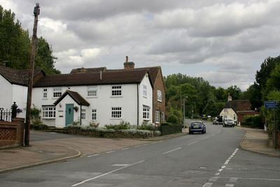
Lidlington, village and civil parish in Central Bedfordshire, England
Posizione: Central Bedfordshire
Coordinate GPS: 52.04020,-0.55802
Ultimo aggiornamento: 12 marzo 2025 alle 09:26

Woburn Safari Park
4.5 km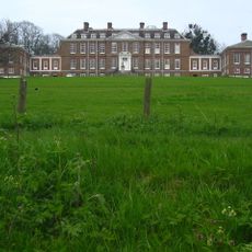
Ampthill Park
3.6 km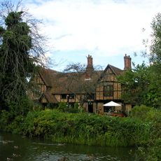
Moreteyne Manor
2.4 km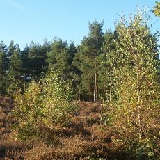
Cooper's Hill
4.1 km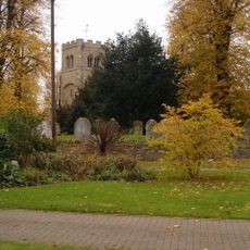
Church of St Peter & St Paul, Cranfield
4.6 km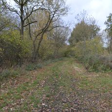
Marston Thrift
3.2 km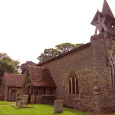
Church of St Mary the Virgin, Salford, Bedfordshire
5.4 km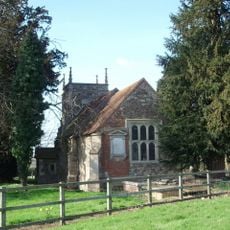
Church of St Nicholas, Hulcote, Bedfordshire
4.6 km
Parish Church of St James
4.4 km
Church of St Botolph
5.5 km
Church of St Michael, Millbrook
2.4 km
Old Church of All Saints
3.3 km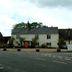
The French Horn
4.1 km
Church of St Lawrence
4.1 km
Parish Church of All Saints
3.2 km
Parish Church of St Mary the Virgin
2.3 km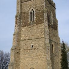
Tower Belonging To Church Of St Mary The Virgin
2.3 km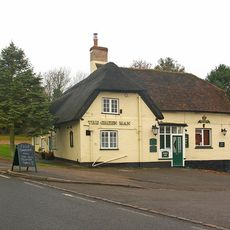
The Green Man Public House
151 m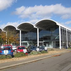
Cranfield University Library
6 km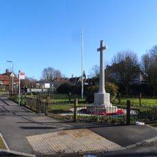
Cranfield War Memorial
4.7 km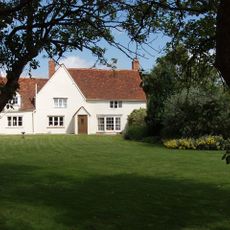
Roxhill Manor Farmhouse
4.6 km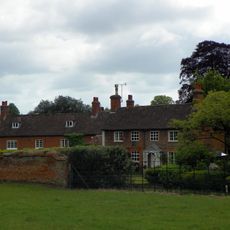
Froxfield House
5.8 km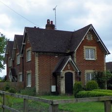
Numbers 1 To 3 And Detached Outhouses To Rear
5 km
Two Kilns And Four Chimneys At The Stewartby Brickworks
4.6 km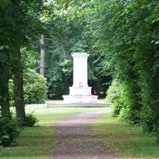
The Alemeda Memorial, Ampthill
4.1 km
Ridgmont Water Tower South South East Of All Saints' Church
3.3 km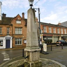
Pump and signpost in Market Place
4.6 km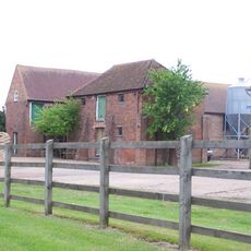
Wood Farmhouse
5.3 kmRecensioni
Ha visitato questo luogo? Tocchi le stelle per valutarlo e condividere la Sua esperienza o foto con la community! Provalo ora! Puoi annullarlo in qualsiasi momento.
Scopri tesori nascosti ad ogni viaggio!
Da piccoli caffè caratteristici a panorami nascosti, fuggi dalla folla e scova i posti che fanno davvero per te. La nostra app ti semplifica tutto: ricerca vocale, filtri furbi, percorsi ottimizzati e dritte autentiche da viaggiatori di tutto il mondo. Scaricala subito per vivere l'avventura sul tuo smartphone!

Un nuovo approccio alla scoperta turistica❞
— Le Figaro
Tutti i luoghi che meritano di essere esplorati❞
— France Info
Un’escursione su misura in pochi clic❞
— 20 Minutes