
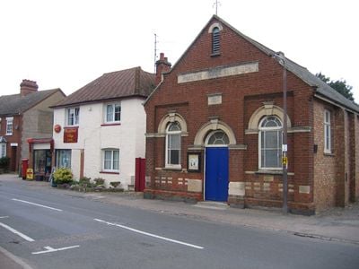
Meppershall, village and civil parish in Bedfordshire, UK
Posizione: Central Bedfordshire
Coordinate GPS: 52.01700,-0.34000
Ultimo aggiornamento: 5 marzo 2025 alle 18:09

Wrest Park
5 km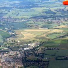
RAF Henlow
2.5 km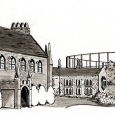
Chicksands Priory
3.2 km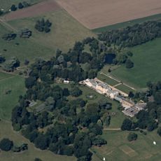
Southill Park
5.4 km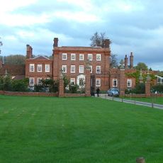
Henlow Grange
4.6 km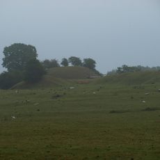
Cainhoe Castle
4.4 km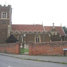
Parish Church of All Saints, Campton
1.7 km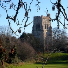
Church of St Mary the Virgin, Henlow
4.3 km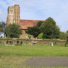
St Mary's Church, Lower Gravenhurst
3.3 km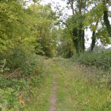
Arlesey Old Moat and Glebe Meadows
4.9 km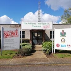
Military Intelligence Museum
3.5 km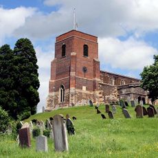
Church of All Saints
3.2 km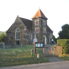
Church of All Saints
1.5 km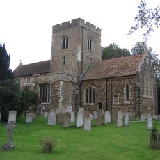
Church of St Mary the Virgin
948 m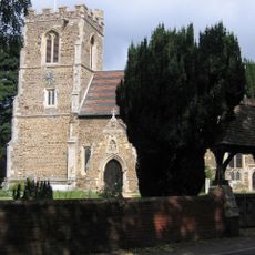
Church of All Saints
3.6 km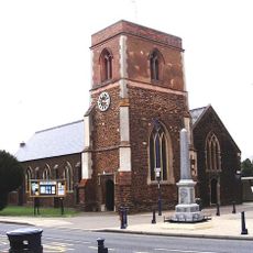
Parish Church of St Michael and All Angels
2.4 km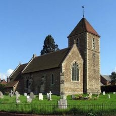
Church of St Peter (C of E) at Corner with Holwell Road
4.2 km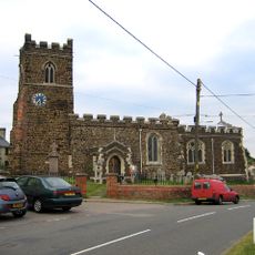
Parish Church of Saint Giles
2.8 km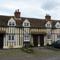
14, 14A, 16 And 16A, Church Street
3 km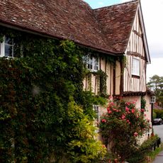
42, Church Street
3.2 km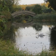
Chinese Bridge Across North End Of Broad Water
4.9 km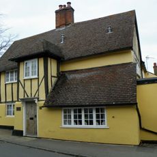
The Five Bells Public House
3 km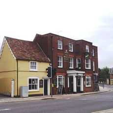
The White Hart Public House
2.5 km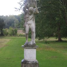
Statue of Atlas Approximately 250M South-East of Wrest Park House
4.9 km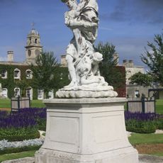
Four Statuary Groups in the South Parterre (also known as the French Garden) south of Wrest House, depicting Aeneas and Anchises, the Abduction of Helen of Troy, Venus and Adonis and Meleager and Atalanta
5 km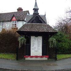
Well Head And War Memorial At Junction With Grange Street
3.4 km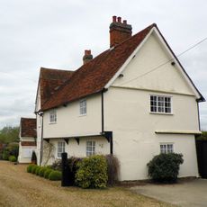
Church Farmhouse
4.1 km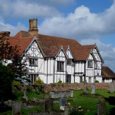
Manor House
986 mRecensioni
Ha visitato questo luogo? Tocchi le stelle per valutarlo e condividere la Sua esperienza o foto con la community! Provalo ora! Puoi annullarlo in qualsiasi momento.
Scopri tesori nascosti ad ogni viaggio!
Da piccoli caffè caratteristici a panorami nascosti, fuggi dalla folla e scova i posti che fanno davvero per te. La nostra app ti semplifica tutto: ricerca vocale, filtri furbi, percorsi ottimizzati e dritte autentiche da viaggiatori di tutto il mondo. Scaricala subito per vivere l'avventura sul tuo smartphone!

Un nuovo approccio alla scoperta turistica❞
— Le Figaro
Tutti i luoghi che meritano di essere esplorati❞
— France Info
Un’escursione su misura in pochi clic❞
— 20 Minutes