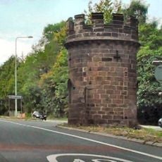
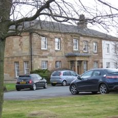
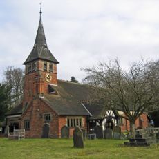
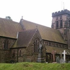
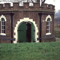
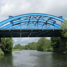
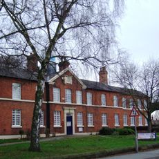
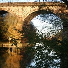
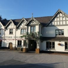
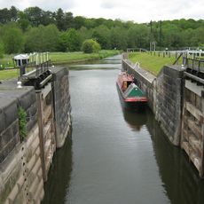
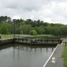
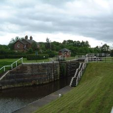
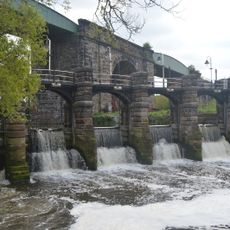
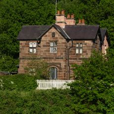
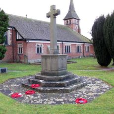
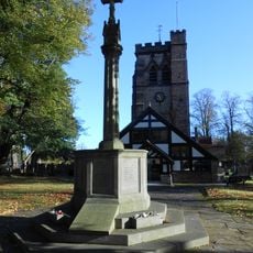
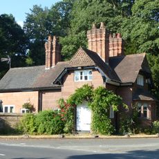
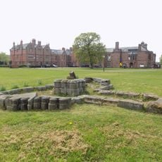
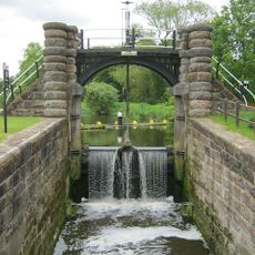
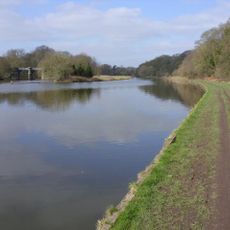
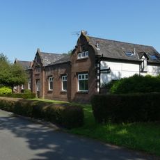
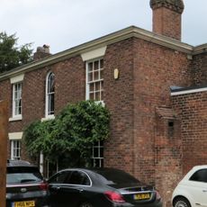
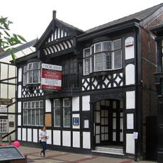
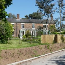
Hartford, village and civil parish in Cheshire, England
La comunità dei viaggiatori curiosi
AroundUs riunisce migliaia di luoghi selezionati, consigli locali e gemme nascoste, arricchiti ogni giorno da oltre 60,000 contributori in tutto il mondo.
Posizione
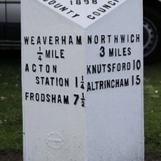
Confina con
Weaverham, Northwich, Kingsmead, Davenham, Whitegate and Marton, Cuddington
Coordinate GPS
53.24500,-2.54900
Ultimo aggiornamento
2 maggio 2025 alle 12:42