
Moulsoe, village and civil parish in Buckinghamshire, UK
Posizione: City of Milton Keynes
Coordinate GPS: 52.06870,-0.67330
Ultimo aggiornamento: 3 marzo 2025 alle 05:57
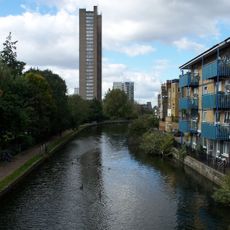
Grand Union Canal
4.6 km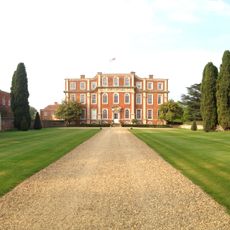
Chicheley Hall
3.9 km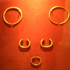
Milton Keynes Hoard
4.2 km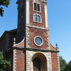
Church of St Mary Magdalene
3.3 km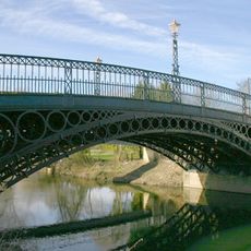
Tickford Bridge
3.7 km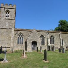
St Lawrence's Church, Broughton
2.5 km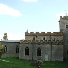
Church of All Saints
4.7 km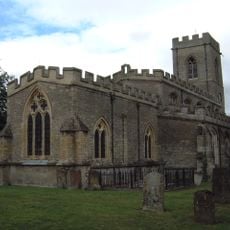
Church of St Firmin
3.1 km
Church of St Bede (Roman Catholic)
4.1 km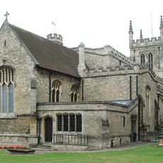
Church of St Peter and St Paul
3.8 km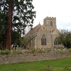
Church of All Saints
3.6 km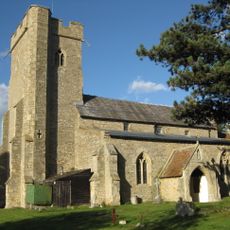
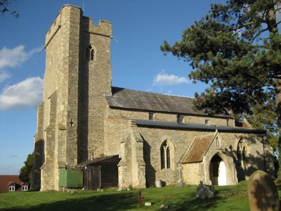
Church of St Mary
446 m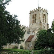
Church of St Lawrence, Chicheley
3.9 km
Willen Lake
3.5 km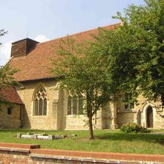
Holy Trinity Church
4.4 km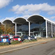
Cranfield University Library
3.2 km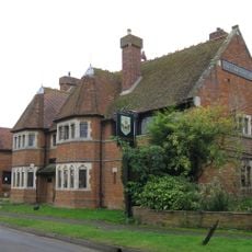
Carrington Arms Public House
171 m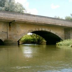
Sherington Bridge Over River Ouse
4.3 km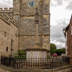
Newport Pagnell War Memorial
3.8 km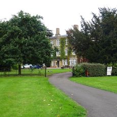
Tickford Abbey
3.4 km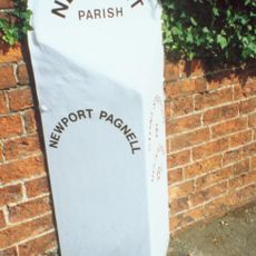
Mile Marker Post Outside Latini Restaurant
4.2 km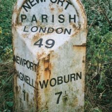
Milepost, London Road; S of Newport Stables, and 300m S of Tickford island (jct with A422)
2.3 km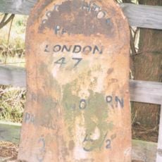
Milepost, Newport Road: outside Broughton Manor, opp Broughton Ground Lane
2.5 km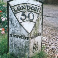
Mile Post At The Front Of Number 32 The Forge
3.6 km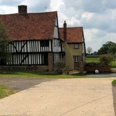
Old Moat Farmhouse
3.3 km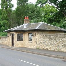
Toll House At North Bridge
3.9 km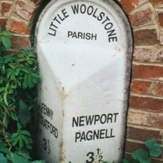
Milepost, Newport Road; Woolstone at jct with Cleobury Paddock, next to Cleobury Farm (in a housing estate)
4.5 km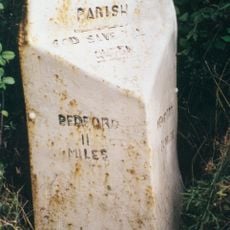
Milepost, Chicheley Hill; half way down hill from by-pass roundabout
4.1 kmRecensioni
Ha visitato questo luogo? Tocchi le stelle per valutarlo e condividere la Sua esperienza o foto con la community! Provalo ora! Puoi annullarlo in qualsiasi momento.
Scopri tesori nascosti ad ogni viaggio!
Da piccoli caffè caratteristici a panorami nascosti, fuggi dalla folla e scova i posti che fanno davvero per te. La nostra app ti semplifica tutto: ricerca vocale, filtri furbi, percorsi ottimizzati e dritte autentiche da viaggiatori di tutto il mondo. Scaricala subito per vivere l'avventura sul tuo smartphone!

Un nuovo approccio alla scoperta turistica❞
— Le Figaro
Tutti i luoghi che meritano di essere esplorati❞
— France Info
Un’escursione su misura in pochi clic❞
— 20 Minutes