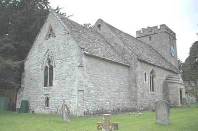
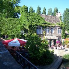
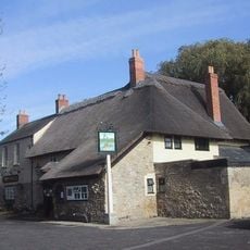
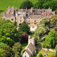
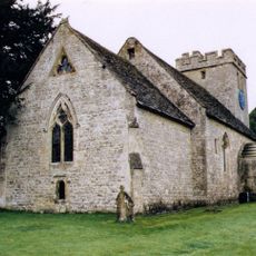
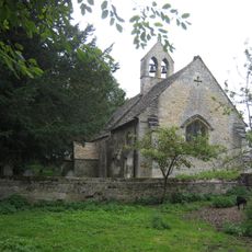
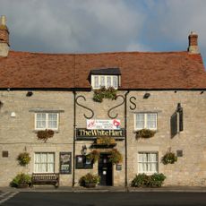
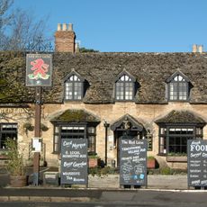
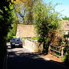
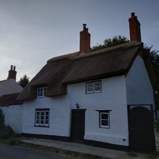
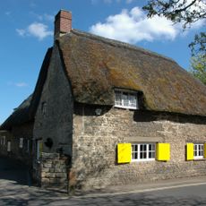
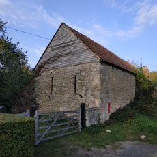
Wytham, village and civil parish in Vale of White Horse, Oxfordshire, England
Posizione: Vale of White Horse
Confina con: Yarnton, Cassington, Cumnor, North Hinksey, Oxford, Gosford and Water Eaton
Sito web: https://wytham-village.org.uk
Coordinate GPS: 51.77800,-1.31300
Ultimo aggiornamento: 8 marzo 2025 alle 18:32
The Trout Inn
960 m
Wytham Woods
1.5 km
The Perch
2.2 km
King's Lock
1.3 km
Godstow Bridge
924 m
Godstow Lock
1 km
A34 Road Bridge
762 m
Wytham Abbey And Attached Wall
530 m
Port Meadow with Wolvercote Common and Green
1.8 km
Wolvercote Meadows
1.2 km
Church of All Saints
485 m
Church of St Margaret
1.5 km
St Margaret's Well
1.4 km
The White Hart Public House
1.5 km
St Mary's Church
3.2 km
Oxford Canal Tilting Bridge Approximately 650 Metres South East Of Duke's Cut
2 km
St Peter and St Paul
3.2 km
Godstow Abbey
923 m
Toll Bridge
1.2 km
Footbridge At The Trout Inn
981 m
Red Lion Public House
1.5 km
Little Godstow Bridge
942 m
The Thatched Cottage
2.2 km
Nunnery
1.3 km
Barn To West Of Manor Farm Cottage And Adjoining It
2.2 km
14 Wytham
418 m
Milestone At National Grid Reference Sp4608 0648
2.9 km
Milestone At National Grid Reference Sp4754 0590
3.1 kmHa visitato questo luogo? Tocchi le stelle per valutarlo e condividere la Sua esperienza o foto con la community! Provalo ora! Puoi annullarlo in qualsiasi momento.
Scopri tesori nascosti ad ogni viaggio!
Da piccoli caffè caratteristici a panorami nascosti, fuggi dalla folla e scova i posti che fanno davvero per te. La nostra app ti semplifica tutto: ricerca vocale, filtri furbi, percorsi ottimizzati e dritte autentiche da viaggiatori di tutto il mondo. Scaricala subito per vivere l'avventura sul tuo smartphone!
Un nuovo approccio alla scoperta turistica❞
— Le Figaro
Tutti i luoghi che meritano di essere esplorati❞
— France Info
Un’escursione su misura in pochi clic❞
— 20 Minutes