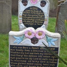
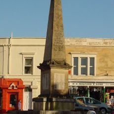
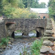
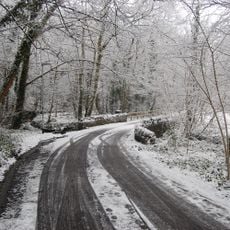
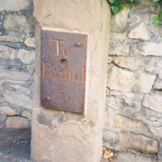
Henbury, suburb and former ward of Bristol in the United Kingdom
Posizione: City of Bristol
Coordinate GPS: 51.50500,-2.62840
Ultimo aggiornamento: 1 aprile 2025 alle 17:08
Wild Place Project
2.9 km
St Ursula's School
2.3 km
Holy Trinity Church, Westbury on Trym
1.6 km
St Mary's Church, Henbury
272 m
Kingsweston Hill
1 km
Westbury College Gatehouse
1.4 km
Henbury Village Hall
281 m
Hollywood Bowl
2.7 km
Blaise Castle House
295 m
Museum
309 m
Blaise Castle
676 m
Hallen War Memorial
1.9 km
Scipio Africanus memorial
232 m
Westbury On Trym War Memorial
1.5 km
Bridge At Giant's Soap Dish, Blaise Castle Estate
742 m
Mill bridge, Blaise Castle Estate
453 m
Bridge Over Hazel Brook
1.5 km
Milestone At St 5718 7756 Approximately 10 Metres North East Of Trym Lodge
1.3 km
Tunnel From Churchyard Of St Mary To South Under Rear Area Of The Old Vicarage
170 m
Bridge Over Hazel Brook At St 3557 1778
1 km
Stratford Mill, Blaise Castle Estate
420 m
Rustic Lodge, Blaise Castle Estate
388 m
Henbury Hill Lodge, Blaise Castle Estate
498 m
Holly House And Attached Outbuildings
345 m
Milestone, Cribbs Causeway
1.9 km
Dairy at Blaise Castle House
212 m
Sundial To The Middle Of The Green At Blaise Hamlet
564 m
Milestone, Westbury on Trym, outside No. 9 Passage Road
1.3 kmRecensioni
Ha visitato questo luogo? Tocchi le stelle per valutarlo e condividere la Sua esperienza o foto con la community! Provalo ora! Puoi annullarlo in qualsiasi momento.
Scopri tesori nascosti ad ogni viaggio!
Da piccoli caffè caratteristici a panorami nascosti, fuggi dalla folla e scova i posti che fanno davvero per te. La nostra app ti semplifica tutto: ricerca vocale, filtri furbi, percorsi ottimizzati e dritte autentiche da viaggiatori di tutto il mondo. Scaricala subito per vivere l'avventura sul tuo smartphone!
Un nuovo approccio alla scoperta turistica❞
— Le Figaro
Tutti i luoghi che meritano di essere esplorati❞
— France Info
Un’escursione su misura in pochi clic❞
— 20 Minutes