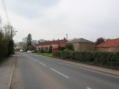
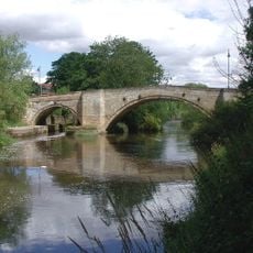
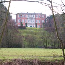
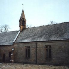
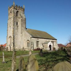
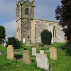
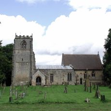
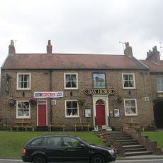
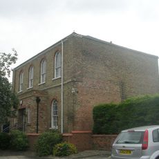
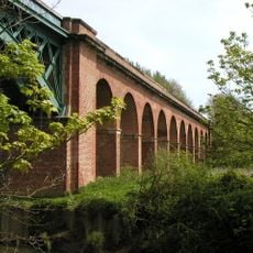
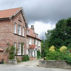
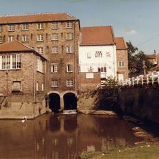
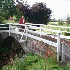
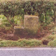
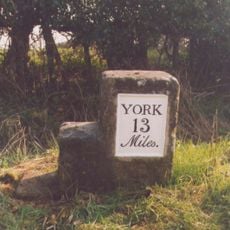
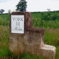
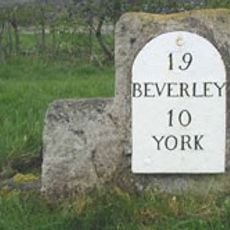
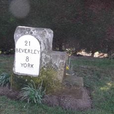
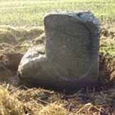
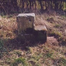
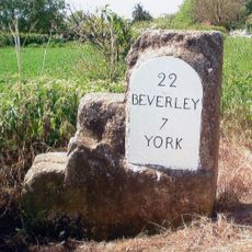
Full Sutton, village and civil parish in East Riding of Yorkshire, UK
Posizione: East Riding of Yorkshire
Coordinate GPS: 53.98477,-0.86877
Ultimo aggiornamento: 6 marzo 2025 alle 04:14
HM Prison Full Sutton
213 m
Stamford Bridge
3.2 km
Aldby Park
3.8 km
Church of St John the Evangelist
3.3 km
Church of St John the Baptist
4 km
Church of St Edith
5.5 km
Church of Saint Martin
5.5 km
Church of Saint Mary
2.4 km
Church of St Mary
741 m
Church of St Andrew
4.2 km
Church of St Martin
2.9 km
Church of All Saints
3.9 km
Bay Horse Inn
3 km
Wesleyan Methodist Chapel
3.1 km
Milestone, W of Gate Helmsley
4.6 km
Stamford Bridge Railway Viaduct
3.4 km
The Old Rectory
3.9 km
The Corn Mill
3 km
Church Bridge
4.1 km
Milestone, Concrete Post, W of entrance to High Burtonfields Farm
2.2 km
Milestone At Se 789566
4.9 km
Milestone At Se 758562
2 km
Milestone Opposite The Squirrels Public House
5.4 km
Milestone, Main Street Wilberfoss
4.4 km
Milestone, just W of Full Sutton jct.
1.5 km
Milestone, 550m W of Barf Lane (to Bugthorpe)
3.5 km
Milestone, just W of Catton Lane jct.
4.9 km
Milestone, Carved Stone Post, W of entrance to High Burtonfields Farm
2.2 kmHa visitato questo luogo? Tocchi le stelle per valutarlo e condividere la Sua esperienza o foto con la community! Provalo ora! Puoi annullarlo in qualsiasi momento.
Scopri tesori nascosti ad ogni viaggio!
Da piccoli caffè caratteristici a panorami nascosti, fuggi dalla folla e scova i posti che fanno davvero per te. La nostra app ti semplifica tutto: ricerca vocale, filtri furbi, percorsi ottimizzati e dritte autentiche da viaggiatori di tutto il mondo. Scaricala subito per vivere l'avventura sul tuo smartphone!
Un nuovo approccio alla scoperta turistica❞
— Le Figaro
Tutti i luoghi che meritano di essere esplorati❞
— France Info
Un’escursione su misura in pochi clic❞
— 20 Minutes