
Grimley, village in the United Kingdom
Posizione: Malvern Hills
Coordinate GPS: 52.24200,-2.24100
Ultimo aggiornamento: 10 aprile 2025 alle 20:09
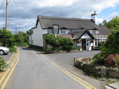
The Mug House
2.2 km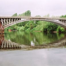
Holt Fleet Bridge
3.1 km
The Venture Inn
3.2 km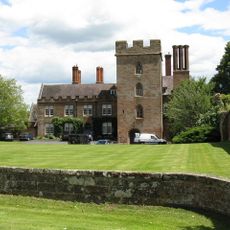
Holt Castle
2.2 km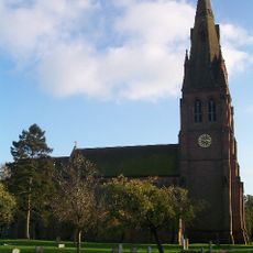
Church of St Philip and St James
2.6 km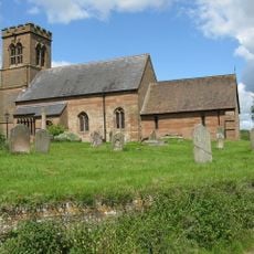
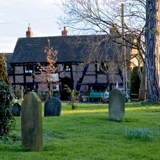
Church of St Bartholomew's
234 m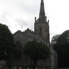
Church of St Andrew, Ombersley
3.2 km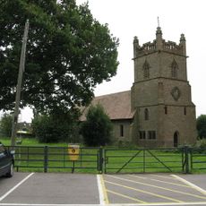
Christ Church, Lower Broadheath
4.1 km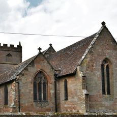
Church of St Martin, Holt
2.2 km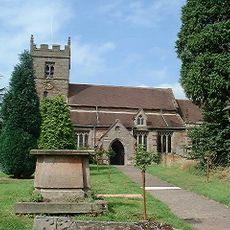
Church of St John the Baptist, Claines
2.2 km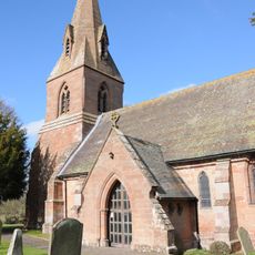
Church of St Lawrence, Wichenford
4.9 km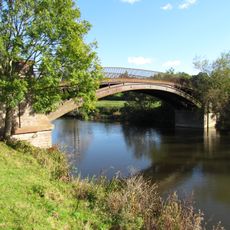
Bevere Bridge
995 m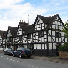
King's Arms Public House
3.2 km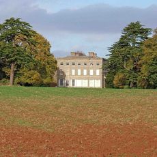
Ombersley Court
3 km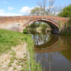
Linacre Bridge
1.5 km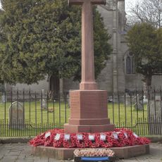
Ombersley War Memorial
3.2 km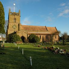
Christchurch
4.1 km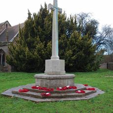
Claines War Memorial
2.2 km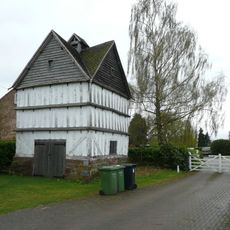
Hawford Dovecote
1 km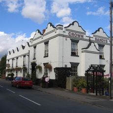
Crown And Sandys Arms
3.1 km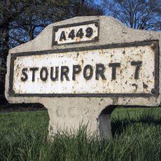
Milestone, jct with A4133; 20m N of junc with old road thro' Ombersley
2.5 km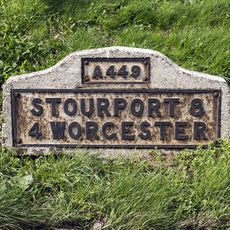
Milestone, Hawford Wood, N-bound carriageway at SO8444661092
1 km
Milestone, Hawford Wood, N-bound carriageway at SO8444161102
1 km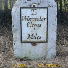
Milestone, W of Kenswick Manor
5.4 km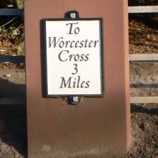
Milestone, opp Archbell Cottages
2.2 km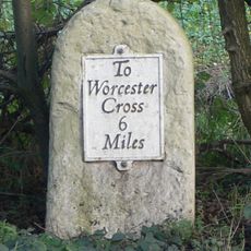
Milestone, Elm Cottages
2.8 km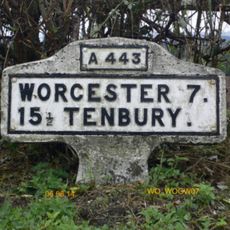
Milestone, W of Hazeldene, opp bungalow 100m W of junc for Ockeridge
4.1 km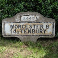
Milestone, E of Little Witley, E of new houses where the was an old petrol station
5.6 kmHa visitato questo luogo? Tocchi le stelle per valutarlo e condividere la Sua esperienza o foto con la community! Provalo ora! Puoi annullarlo in qualsiasi momento.
Scopri tesori nascosti ad ogni viaggio!
Da piccoli caffè caratteristici a panorami nascosti, fuggi dalla folla e scova i posti che fanno davvero per te. La nostra app ti semplifica tutto: ricerca vocale, filtri furbi, percorsi ottimizzati e dritte autentiche da viaggiatori di tutto il mondo. Scaricala subito per vivere l'avventura sul tuo smartphone!

Un nuovo approccio alla scoperta turistica❞
— Le Figaro
Tutti i luoghi che meritano di essere esplorati❞
— France Info
Un’escursione su misura in pochi clic❞
— 20 Minutes