
Hinderclay, village and civil parish in Suffolk, UK
Posizione: Mid Suffolk
Coordinate GPS: 52.35216,0.97434
Ultimo aggiornamento: 1 maggio 2025 alle 09:12
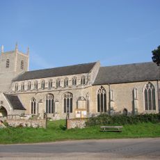
St Mary's Church, Redgrave
3.3 km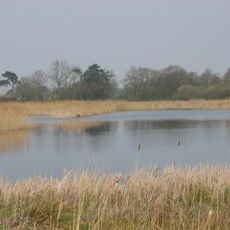
Redgrave and Lopham Fen
4.2 km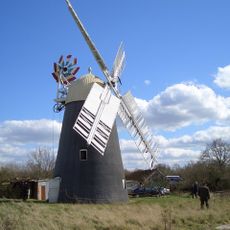
Thelnetham Windmill
2.6 km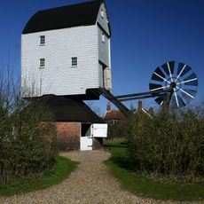
Garboldisham Windmill
4.4 km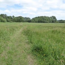
Blo' Norton and Thelnetham Fen
2.1 km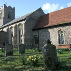
St Mary's Church, Rickinghall Superior
2.7 km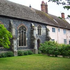
St Botolph's Chapel
2.4 km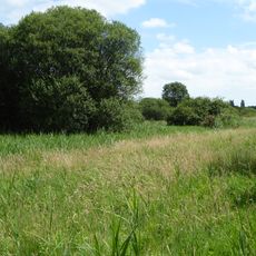
Bugg's Hole Fen, Thelnetham
3.1 km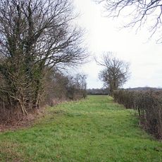
Westhall Wood and Meadow
3.6 km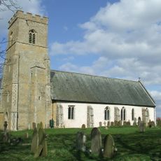
Church of St Andrew
3.2 km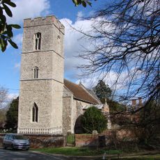
Church of St Margaret
3.1 km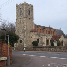
Church of All Saints
3.9 km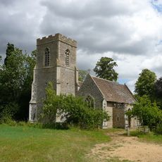
Church of St Nicholas
1.7 km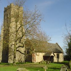
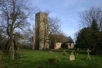
Church of St Mary
47 m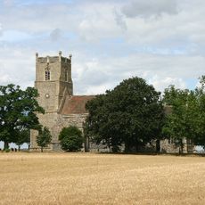
Church of St Mary
3.8 km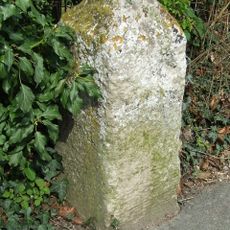
Milestone About 40 Metres South South West Of Church Of St Mary
2.1 km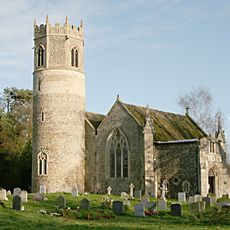
Church of St Mary
2.1 km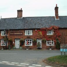
The Cross Keys Public House
2.1 km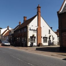
The Greyhound Public House
2.3 km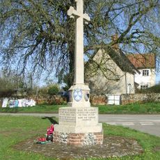
Blo' Norton War Memorial
3.3 km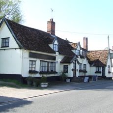
White Horse Public House
2.2 km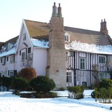
Blo' Norton Hall
3.3 km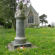
Market Weston War Memorial
3.8 km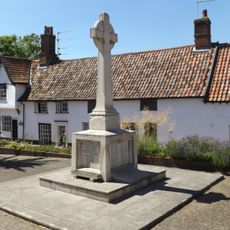
Botesdale, Redgrave and Rickinghall War Memorial
2.3 km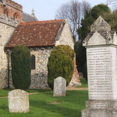
Hopton War Memorial
3.9 km
Premises Occupied By Chilvers (Drapery Stores)
2.3 km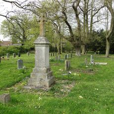
Hinderclay War Memorial
21 m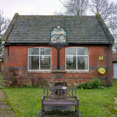
Village Hall, Market Weston
4.1 kmHa visitato questo luogo? Tocchi le stelle per valutarlo e condividere la Sua esperienza o foto con la community! Provalo ora! Puoi annullarlo in qualsiasi momento.
Scopri tesori nascosti ad ogni viaggio!
Da piccoli caffè caratteristici a panorami nascosti, fuggi dalla folla e scova i posti che fanno davvero per te. La nostra app ti semplifica tutto: ricerca vocale, filtri furbi, percorsi ottimizzati e dritte autentiche da viaggiatori di tutto il mondo. Scaricala subito per vivere l'avventura sul tuo smartphone!

Un nuovo approccio alla scoperta turistica❞
— Le Figaro
Tutti i luoghi che meritano di essere esplorati❞
— France Info
Un’escursione su misura in pochi clic❞
— 20 Minutes