
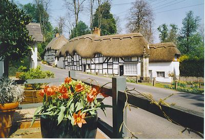
Wherwell, village and civil parish in Hampshire, United Kingdom
Posizione: Test Valley
Coordinate GPS: 51.16629,-1.44477
Ultimo aggiornamento: 5 marzo 2025 alle 17:35
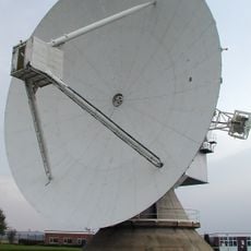
Osservatorio di Chilbolton
2.5 km
Bury Hill
5.1 km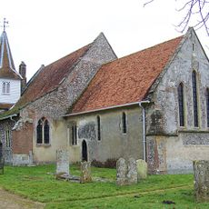
Church of St Mary the Less
903 m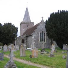
Church of St Peter
2.8 km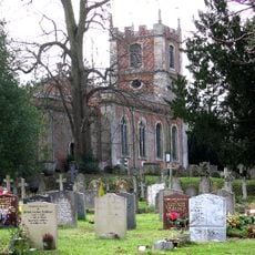
Church of St Mary the Virgin
6.4 km
Church of All Saints
4.1 km
Church of St Peter and Holy Cross, Wherwell
252 m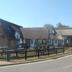
Poplar Farm Inn
5.8 km
Mausoleum In The Churchyard To The Iremonger Family
284 m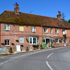
White Lion Public House
10 m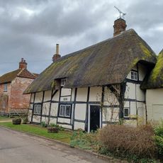
28, Church Street
206 m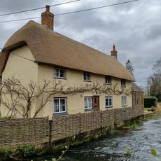
29, Church Street
186 m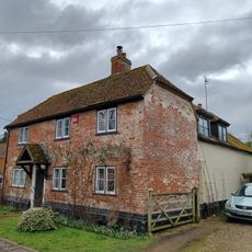
27, Church Street
215 m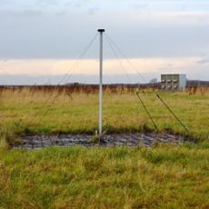
Rawlings Array
2.6 km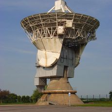
Chilbolton Advanced Meteorological Radar
2.4 km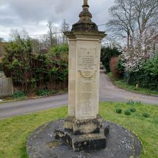
Wherwell War Memorial
160 m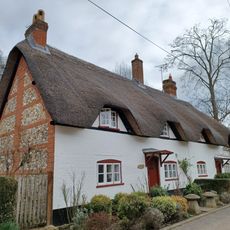
Antlers Cottage
222 m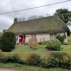
16, Winchester Road
194 m
Shepherds Cottages
541 m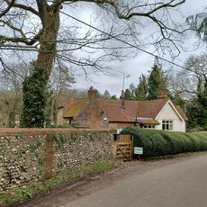
Manor Farmhouse
2.2 km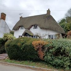
Ivy Cottage
156 m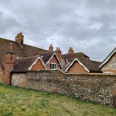
The Vicarage (With Outbuildings And Boundary Wall)
248 m
Andover Lodge
246 m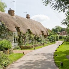
Tudor Cottage Willow Cottage
991 m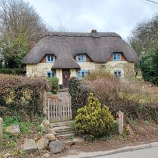
Mount Cottage
308 m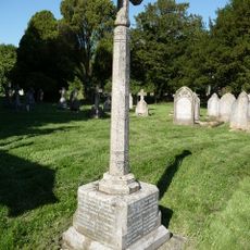
Upper Clatford War Memorial
4.1 km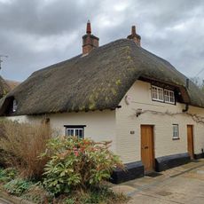
Rosemary Cottage
198 m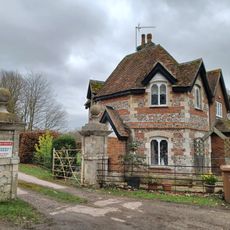
East Lodge To The Priory
691 mHa visitato questo luogo? Tocchi le stelle per valutarlo e condividere la Sua esperienza o foto con la community! Provalo ora! Puoi annullarlo in qualsiasi momento.
Scopri tesori nascosti ad ogni viaggio!
Da piccoli caffè caratteristici a panorami nascosti, fuggi dalla folla e scova i posti che fanno davvero per te. La nostra app ti semplifica tutto: ricerca vocale, filtri furbi, percorsi ottimizzati e dritte autentiche da viaggiatori di tutto il mondo. Scaricala subito per vivere l'avventura sul tuo smartphone!

Un nuovo approccio alla scoperta turistica❞
— Le Figaro
Tutti i luoghi che meritano di essere esplorati❞
— France Info
Un’escursione su misura in pochi clic❞
— 20 Minutes