
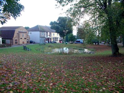
Tatsfield, village in Tandridge, Surrey, UK
Posizione: Tandridge
Confina con: Biggin Hill
Coordinate GPS: 51.29890,0.03060
Ultimo aggiornamento: 3 marzo 2025 alle 02:23
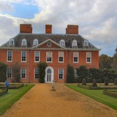
Squerryes Court
4.8 km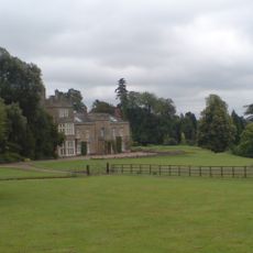
Titsey Place
2.6 km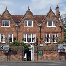
Quebec House
4.7 km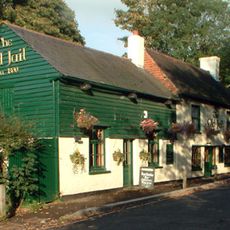
The Old Jail Public House
2.6 km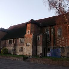
All Saints Church, Oxted
4.9 km
Tatsfield Receiving Station
1.7 km
Westerham Wood
3.4 km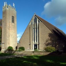
St Mark's Church
1.5 km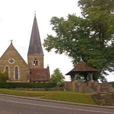
Church of St James the Greater
2.6 km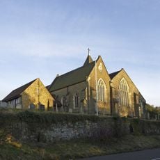
Church of St Peter
4.4 km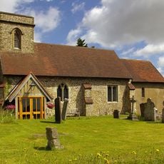
Church of St Mary the Virgin
1.3 km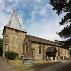
Church of St Mary the Virgin
4.6 km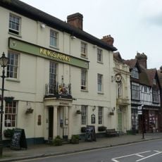
The King's Arms Hotel
4.5 km
The George And Dragon Hotel
4.5 km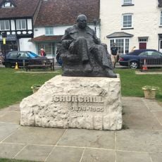
Statue of Sir Winston Churchill
4.6 km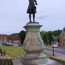
Statue of General Wolfe
4.6 km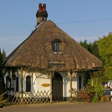
Cottage Orne Attached To Spinning Wheel Restaurant
1.9 km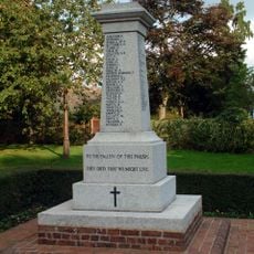
Biggin Hill Memorial Column
1.9 km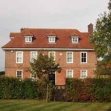
Norheads Farmhouse
1.8 km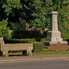
Water trough near Biggin Hill War Memorial at the junction of Jail Lane and Main Road
2 km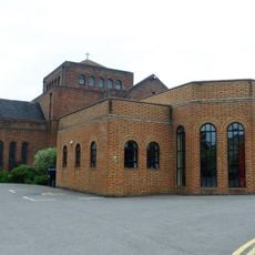
United Reformed Church and Attached Walls
4.9 km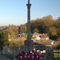
Westerham War Memorial
4.6 km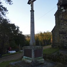
Limpsfield War Memorial
4.4 km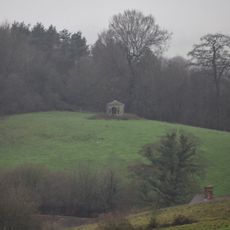
Gazebo About 330 Yards West Of Squerryes Court On Top Of Hill At Other Side Of Road
4.6 km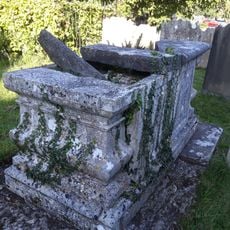
Chest Tomb 3 Yards North East Of Corner Of Chancel
5.2 km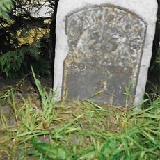
Milestone, half mile E of Oxted viaduct, 70m W of jct with Detillens Lane
5 km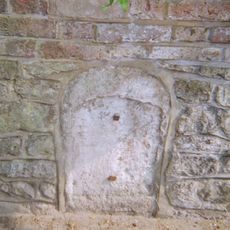
Milestone, High Street, opp. Nos 2 - 4, nr jvt with Wells Place
4.5 km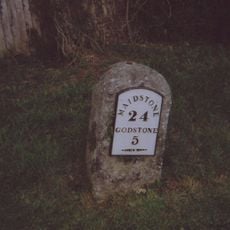
Milestone, Redwood, 400m E of village; by entrance to Redwood
4.5 kmHa visitato questo luogo? Tocchi le stelle per valutarlo e condividere la Sua esperienza o foto con la community! Provalo ora! Puoi annullarlo in qualsiasi momento.
Scopri tesori nascosti ad ogni viaggio!
Da piccoli caffè caratteristici a panorami nascosti, fuggi dalla folla e scova i posti che fanno davvero per te. La nostra app ti semplifica tutto: ricerca vocale, filtri furbi, percorsi ottimizzati e dritte autentiche da viaggiatori di tutto il mondo. Scaricala subito per vivere l'avventura sul tuo smartphone!

Un nuovo approccio alla scoperta turistica❞
— Le Figaro
Tutti i luoghi che meritano di essere esplorati❞
— France Info
Un’escursione su misura in pochi clic❞
— 20 Minutes