Virley, village in the United Kingdom
Posizione: Colchester
Coordinate GPS: 51.78886,0.82592
Ultimo aggiornamento: 3 marzo 2025 alle 01:05
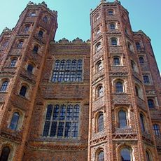
Layer Marney Tower
4.3 km
Abberton Reservoir
4.2 km
Abbotts Hall Farm
1.5 km
Tollesbury Wick
4 km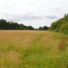
Oxley Meadow
3.5 km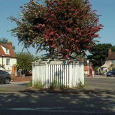
Queen's Head
2.6 km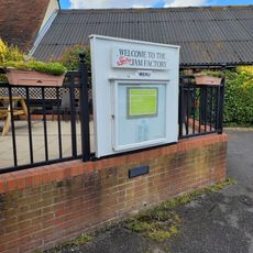
Jam Museum
5.3 km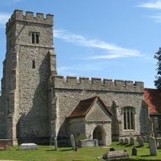
Church of St Nicholas
3 km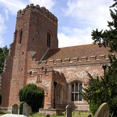
Church of St Mary the Virgin, Layer Marney
4.2 km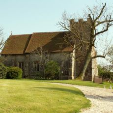
Church of St Nicholas
3.2 km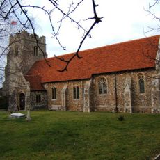
Church of St Mary
290 m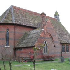
Church of St Luke
5.8 km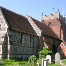
Church of St Mary the Virgin
3.5 km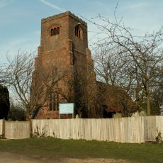
Church of St Nicholas
4.9 km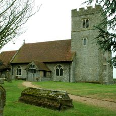
Church of St John the Baptist
5.5 km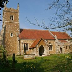
Church of St Stephen
2.6 km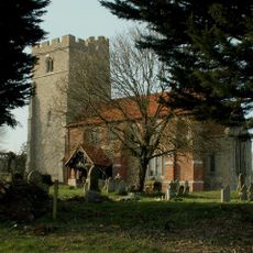
Church of St Mary the Virgin
4.9 km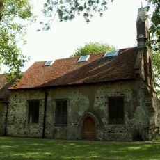
Church of All Saints
2.3 km
Dukes Farmhouse
4.9 km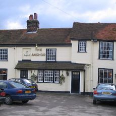
The Anchor Public House
5.7 km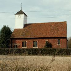
St Mary's Church
4.7 km
The Plough Public House
4.8 km
Almonds
4.9 km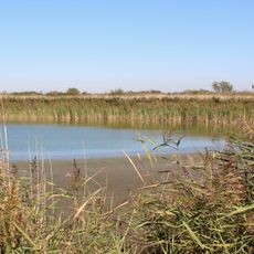
Decoy pond immediately north of Pennyhole Fleet, Old Hall Marshes
3.6 km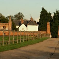
Gatehouse 40 Metres West Of Beckingham Hall
4.8 km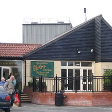
Tiptree Museum
5.3 km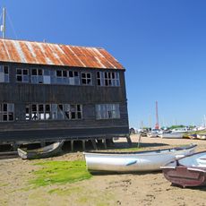
Granary/Store Immediately North Of Slipway To Woodrolfe Creek
3.8 km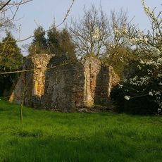
Remains of St Mary the Virgin's Church
10 mHa visitato questo luogo? Tocchi le stelle per valutarlo e condividere la Sua esperienza o foto con la community! Provalo ora! Puoi annullarlo in qualsiasi momento.
Scopri tesori nascosti ad ogni viaggio!
Da piccoli caffè caratteristici a panorami nascosti, fuggi dalla folla e scova i posti che fanno davvero per te. La nostra app ti semplifica tutto: ricerca vocale, filtri furbi, percorsi ottimizzati e dritte autentiche da viaggiatori di tutto il mondo. Scaricala subito per vivere l'avventura sul tuo smartphone!

Un nuovo approccio alla scoperta turistica❞
— Le Figaro
Tutti i luoghi che meritano di essere esplorati❞
— France Info
Un’escursione su misura in pochi clic❞
— 20 Minutes