
Ashfield cum Thorpe, civil parish in Mid Suffolk, Suffolk, United Kingdom
Posizione: Mid Suffolk
Coordinate GPS: 52.21798,1.23524
Ultimo aggiornamento: 2 marzo 2025 alle 22:42
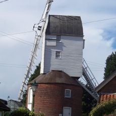
Webster's Mill, Framsden
3.5 km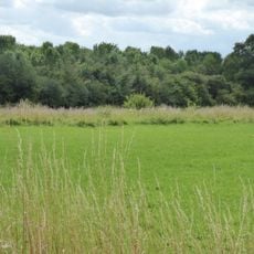
Fox Fritillary Meadow
3 km
Church of St Andrew
3.2 km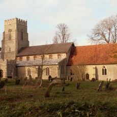
Church of St Mary
3.1 km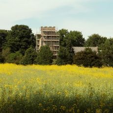
Church of St Peter
2.4 km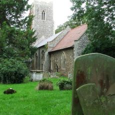
Church of St Mary
2.6 km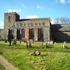
Church of St Mary Magdalene
3.7 km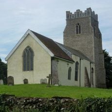
Church of St Peter
2.7 km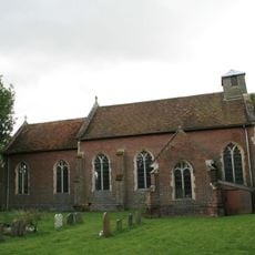
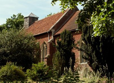
Church of St Mary
99 m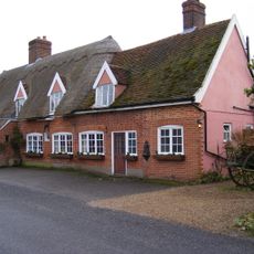
The Greyhound Inn, Framsden
3.3 km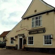
The Cherry Tree Inn, Debenham
3.6 km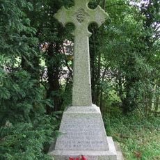
Winston War Memorial
3.2 km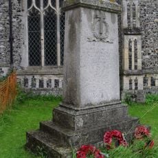
Framsden War Memorial
3.1 km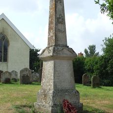
Cretingham War Memorial
2.7 km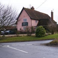
New Bell Public House
3 km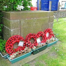
Debenham War Memorial
3.7 km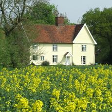
Woodcroft Hall
1.6 km
64 And 66, High Street
3.7 km
St Mary
3.7 km
72 And 74, High Street
3.6 km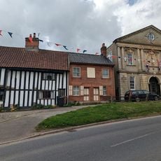
56, High Street
3.7 km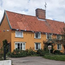
2 And 3, Cross Green
3.6 km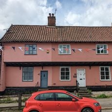
40 And 42, High Street
3.7 km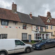
Debenham Fish Shop
3.7 km
The Limes
3.7 km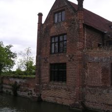
Crows Hall (including Bridge Over Moat And Walling Lining Inner Side Of Moat To West And South)
1.9 km
Lanchester Antiques Old House The Gables
3.7 km
31-37, High Street
3.7 kmRecensioni
Ha visitato questo luogo? Tocchi le stelle per valutarlo e condividere la Sua esperienza o foto con la community! Provalo ora! Puoi annullarlo in qualsiasi momento.
Scopri tesori nascosti ad ogni viaggio!
Da piccoli caffè caratteristici a panorami nascosti, fuggi dalla folla e scova i posti che fanno davvero per te. La nostra app ti semplifica tutto: ricerca vocale, filtri furbi, percorsi ottimizzati e dritte autentiche da viaggiatori di tutto il mondo. Scaricala subito per vivere l'avventura sul tuo smartphone!

Un nuovo approccio alla scoperta turistica❞
— Le Figaro
Tutti i luoghi che meritano di essere esplorati❞
— France Info
Un’escursione su misura in pochi clic❞
— 20 Minutes