
West Coker, village and civil parish in Somerset, UK
Posizione: South Somerset
Coordinate GPS: 50.91890,-2.69130
Ultimo aggiornamento: 20 marzo 2025 alle 11:52
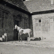
Stable block about 70 metres west of Brympton House
2 km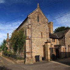
Naish Priory
2 km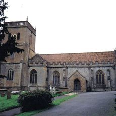
Church of Saint Michael
2.7 km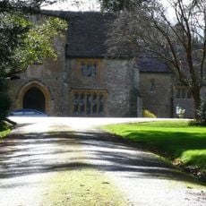
Coker Court
2.6 km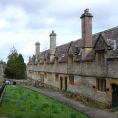
Helyar Almshouses
2.7 km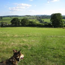
Hardington Moor
501 m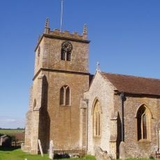
Church of Saint Martin of Tours
165 m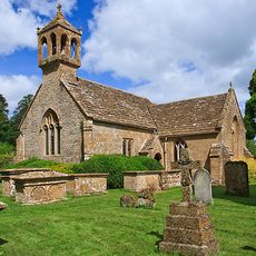
St Andrew's Church
1.9 km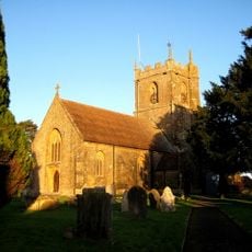
Church of St Peter and St Paul
2.1 km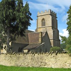
Church of St James with Its South Boundary Wall
3.4 km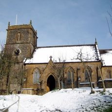
Church of Saint Mary
1.6 km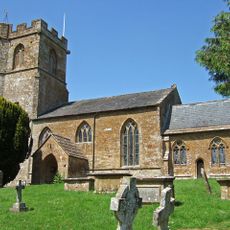
Church of Saint Mary
1.7 km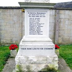
Odcombe War Memorial
2.1 km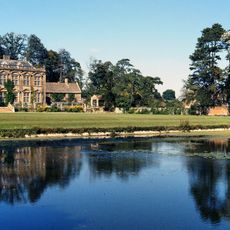
Brympton House
2 km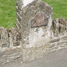
Milestone, Built Into Boundary Wall, Four Acres Hotel
376 m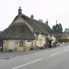
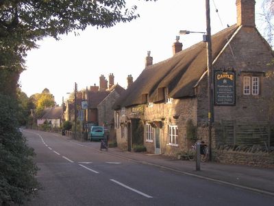
The Castle Public House
73 m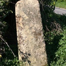
Stone At Ngr St 5082 1501
1.7 km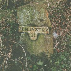
Milestone At Ngr St 5170 1635
2.9 km
The Walls To The Kitchen Garden, Approximately 30 Metres North North West Of Coker Court
2.7 km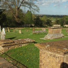
Goodman Chest Tomb, In The Churchyard 1.5 Metres North Of The North Porch, Church Of Saint Michael
2.7 km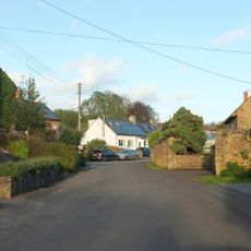
The Pinnacles
2.1 km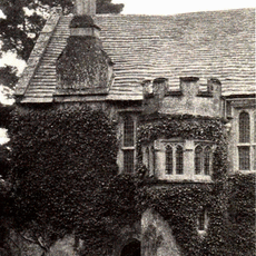
The Chantry House The Dower House
1.9 km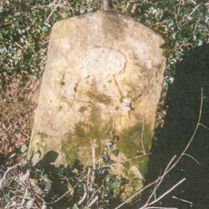
Milestone At Ngr St 5143 1573
2.2 km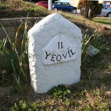
Milestone, 83M South-West Of The Junction Between West Coker Road (A30) And Camp Road
1.8 km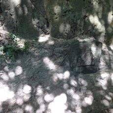
Milestone, Approximately 30M South-West Of Coker Hill Bridge
1.1 km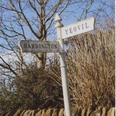
Signpost At Ngr 51871219
1.4 km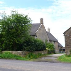
High Leaze Farmhouse
2.6 km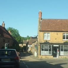
1 and 3, East Street
328 mHa visitato questo luogo? Tocchi le stelle per valutarlo e condividere la Sua esperienza o foto con la community! Provalo ora! Puoi annullarlo in qualsiasi momento.
Scopri tesori nascosti ad ogni viaggio!
Da piccoli caffè caratteristici a panorami nascosti, fuggi dalla folla e scova i posti che fanno davvero per te. La nostra app ti semplifica tutto: ricerca vocale, filtri furbi, percorsi ottimizzati e dritte autentiche da viaggiatori di tutto il mondo. Scaricala subito per vivere l'avventura sul tuo smartphone!

Un nuovo approccio alla scoperta turistica❞
— Le Figaro
Tutti i luoghi che meritano di essere esplorati❞
— France Info
Un’escursione su misura in pochi clic❞
— 20 Minutes