
Horstead with Stanninghall, civil parish in Norfolk, UK
Posizione: Broadland
Sito web: https://horsteadparishcouncil.org.uk
Coordinate GPS: 52.72890,1.34548
Ultimo aggiornamento: 2 marzo 2025 alle 21:07
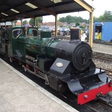
Bure Valley Railway
4.5 km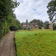
Barton House Railway
4.9 km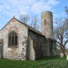
Church of St Theobald
628 m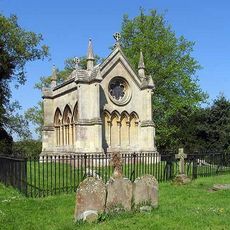
Trafford Mausoleum, St Mary's Churchyard
4.3 km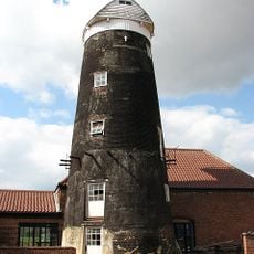
Frettenham Windmill
2.5 km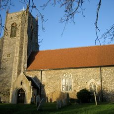
Church of St Peter
3.2 km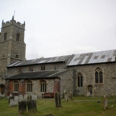
Church of St Mary
4.3 km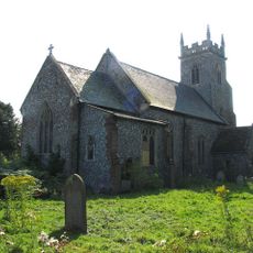
Parish Church of St Peter
4 km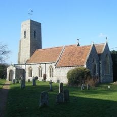
Parish Church of All Saints
305 m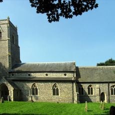
Church of St Swithin
2 km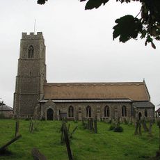
Parish Church of St John the Baptist
1.2 km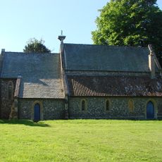
Church of Holy Trinity
713 m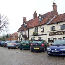
Recruiting Sergeant Inn
477 m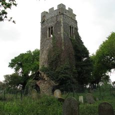
Remains of Church of All Saints
3 km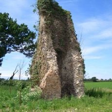
Ruined Church of St Peter
2.5 km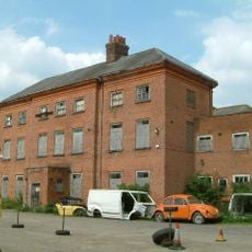
Hainford Hall
3.1 km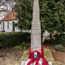
Wroxham War Memorial
4.5 km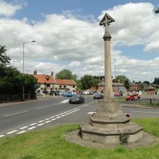
Horstead War Memorial
505 m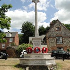
Coltishall and Hautbois War Memorial
820 m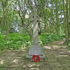
Crostwick and Beeston St Andrew War Memorial
3.8 km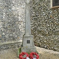
Frettenham War Memorial
2 km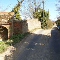
Mayton Bridge
2 km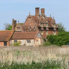
Little Hautbois Hall
2.4 km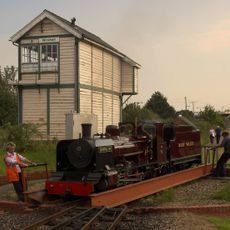
Wroxham Signal Box
4.5 km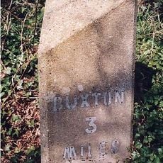
Milestone, 170yds S of jct with Court Hill
3 km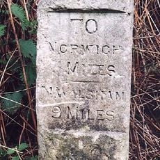
Milestone, Halfway between drive to Hill House and road materials store
2.9 km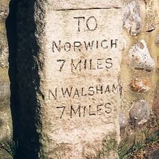
Milestone, High Street, by No. 28
451 m
Milestone, Norwich Road, by No. 58
4.5 kmRecensioni
Ha visitato questo luogo? Tocchi le stelle per valutarlo e condividere la Sua esperienza o foto con la community! Provalo ora! Puoi annullarlo in qualsiasi momento.
Scopri tesori nascosti ad ogni viaggio!
Da piccoli caffè caratteristici a panorami nascosti, fuggi dalla folla e scova i posti che fanno davvero per te. La nostra app ti semplifica tutto: ricerca vocale, filtri furbi, percorsi ottimizzati e dritte autentiche da viaggiatori di tutto il mondo. Scaricala subito per vivere l'avventura sul tuo smartphone!

Un nuovo approccio alla scoperta turistica❞
— Le Figaro
Tutti i luoghi che meritano di essere esplorati❞
— France Info
Un’escursione su misura in pochi clic❞
— 20 Minutes