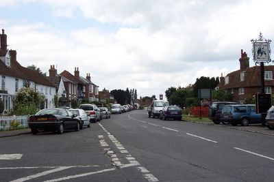
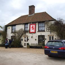
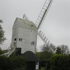
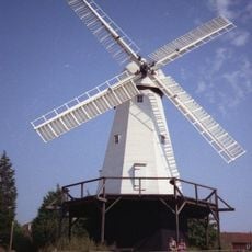
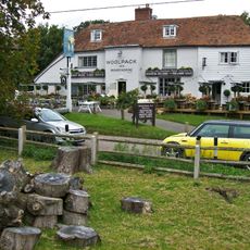
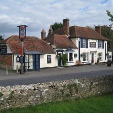
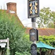
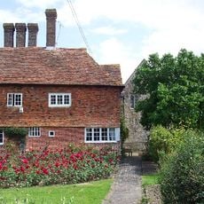
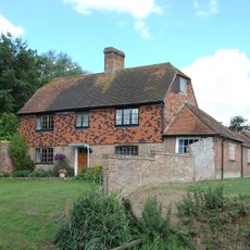
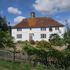
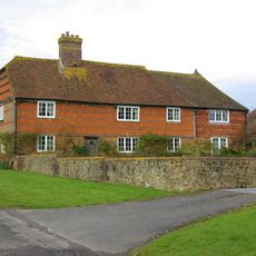
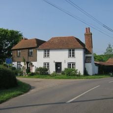
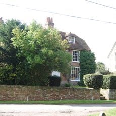
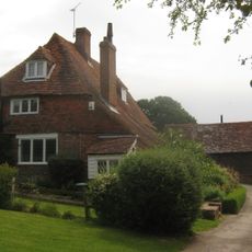
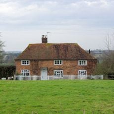
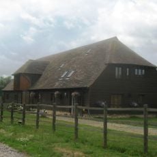
Appledore, parrocchia civile del Kent
Posizione: Ashford
Confina con: Leigh Green
Sito web: http://appledorepc.kentparishes.gov.uk/default.cfm
Coordinate GPS: 51.03140,0.79060
Ultimo aggiornamento: 11 marzo 2025 alle 22:23
Red Lion, Snargate
3.4 km
Stocks Mill
5 km
Lower Mill
5.9 km
Domestic chapel at Horne's Place
1.4 km
Leacon Hall
4.6 km
Church of St Matthew
4.4 km
Church of St Thomas A Becket and mounting block attached
3.1 km
Parish Church of All Saints
5.7 km
Church of St Peter and St Paul
201 m
Parish Church of St Mary the Virgin
2.8 km
Church of St Mary
3.2 km
Church of St Mary
3.8 km
The Woolpack Inn
4.4 km
The Bonny Cravat Inn
5.7 km
Church of St Dunstan
3.4 km
The Six Bells Inn
5.7 km
Hendon Place
5.6 km
Horne's Place
1.4 km
Brattle House
4.1 km
Smith's Farmhouse
2.4 km
Dean Court
4.3 km
Hatch Farmhouse
5.1 km
Sly Corner
2.6 km
Church Farmhouse
4.5 km
Becket's House
3.3 km
Diamond House
5.3 km
Mill House
4.5 km
Barn Circa 50 Yards West Of Becket's Barn Farmhouse
3 kmHa visitato questo luogo? Tocchi le stelle per valutarlo e condividere la Sua esperienza o foto con la community! Provalo ora! Puoi annullarlo in qualsiasi momento.
Scopri tesori nascosti ad ogni viaggio!
Da piccoli caffè caratteristici a panorami nascosti, fuggi dalla folla e scova i posti che fanno davvero per te. La nostra app ti semplifica tutto: ricerca vocale, filtri furbi, percorsi ottimizzati e dritte autentiche da viaggiatori di tutto il mondo. Scaricala subito per vivere l'avventura sul tuo smartphone!
Un nuovo approccio alla scoperta turistica❞
— Le Figaro
Tutti i luoghi che meritano di essere esplorati❞
— France Info
Un’escursione su misura in pochi clic❞
— 20 Minutes