
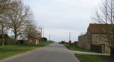
Yearsley, village in the United Kingdom
Posizione: North Yorkshire
Coordinate GPS: 54.16247,-1.10444
Ultimo aggiornamento: 8 marzo 2025 alle 18:07
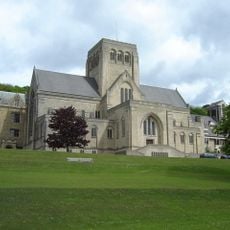
Ampleforth Abbey
4.5 km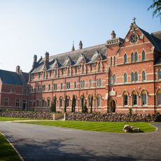
Stanbrook Abbey
6.6 km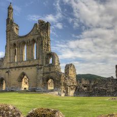
Byland Abbey
5.8 km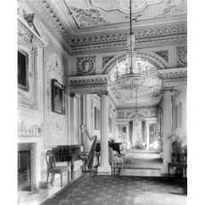
Gilling Castle
3.4 km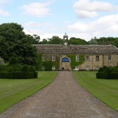
Newburgh Priory
4.7 km
Shandy Hall
6.1 km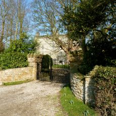
Crayke Castle
4.5 km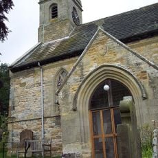
Church of Saint Oswald, King and Martyr, Oswaldkirk
5.7 km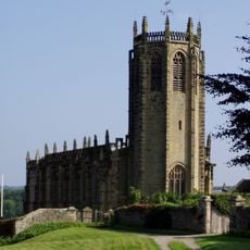
Church of St Michael, Coxwold
5.9 km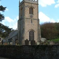
Holy Cross Church, Gilling
3.9 km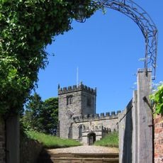
St Cuthbert's Church, Crayke
4.6 km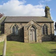
Church of Holy Trinity
82 m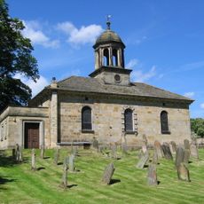
Church of All Saints
2.8 km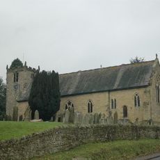
Church of Saint Hilda
4.2 km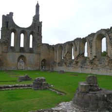
The Abbey Inn
5.8 km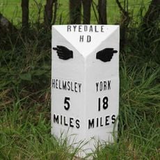
Milepost Approximately 320 Metres South Of Church Of Holy Cross
3.8 km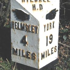
Milestone, ¾ mile N of Gilling
4.8 km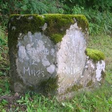
Milestone, 1 mile S of Sproxton nr uc road to Ampleforth
6.5 km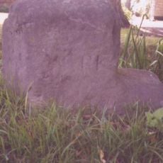
Milestone, East Gilling, opp. green metal TP signpost
3.9 km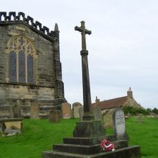
Coxwold War Memorial Within The Churchyard Of Saint Michael's Church
5.9 km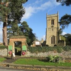
Gilling East War Memorial Gate
3.9 km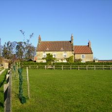
Warren Cottage Warren House
2 km
Studford Ring
5.4 km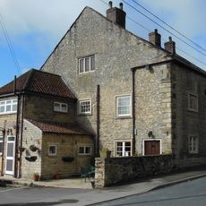
The Malt Shovel
5.9 km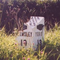
Mile Post Approximately 100 Metres South Of Walter End Farm
3.2 km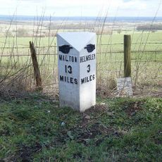
Milepost Approximately 850 Metres North-West Of Bank Top Farm
6.1 km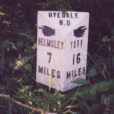
Milepost Approximately 300 Metres South West Of Coney Hill Farm
1.6 km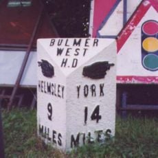
Mile Post Approximately 100 Metres East Of Junction With Yearsley Road
1.9 kmRecensioni
Ha visitato questo luogo? Tocchi le stelle per valutarlo e condividere la Sua esperienza o foto con la community! Provalo ora! Puoi annullarlo in qualsiasi momento.
Scopri tesori nascosti ad ogni viaggio!
Da piccoli caffè caratteristici a panorami nascosti, fuggi dalla folla e scova i posti che fanno davvero per te. La nostra app ti semplifica tutto: ricerca vocale, filtri furbi, percorsi ottimizzati e dritte autentiche da viaggiatori di tutto il mondo. Scaricala subito per vivere l'avventura sul tuo smartphone!

Un nuovo approccio alla scoperta turistica❞
— Le Figaro
Tutti i luoghi che meritano di essere esplorati❞
— France Info
Un’escursione su misura in pochi clic❞
— 20 Minutes