
Chelwood, village and civil parish in Somerset, UK
Posizione: Bath and North East Somerset
Coordinate GPS: 51.35490,-2.52490
Ultimo aggiornamento: 10 marzo 2025 alle 16:47

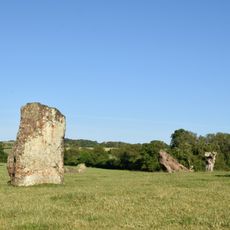
Cerchi di pietre di Stanton Drew
3.8 km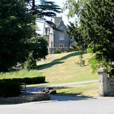
Cholwell House
3.6 km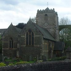
St Thomas à Becket Church, Pensford
2.5 km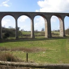
Pensford Viaduct
2.6 km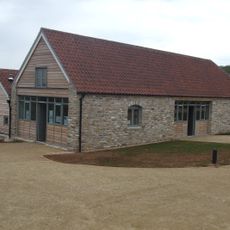
Folly Farm, Somerset
3.2 km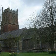
Church of St Augustine, Clutton
3.2 km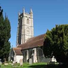
Church of All Saints, Publow
2.6 km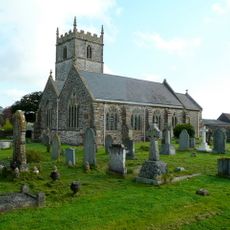
Church of St Mary the Virgin, Stanton Drew
4 km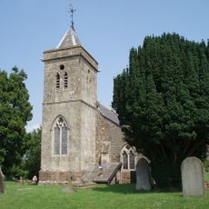
Church of St Leonard, Chelwood
892 m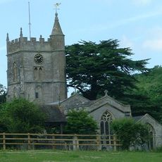
Church of St Mary
2.9 km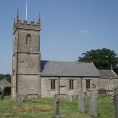
Church of All Saints, Farmborough
2.9 km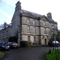
The Court
4 km
Bridge Over The River Chew
2.5 km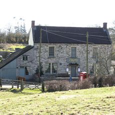
The Gamekeeper Public House
2.9 km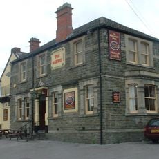
Railway Hotel
2.8 km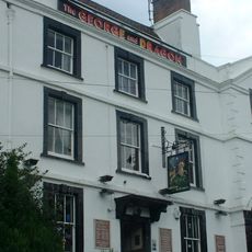
George And Dragon Public House
2.4 km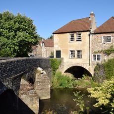
Bridge House
2.5 km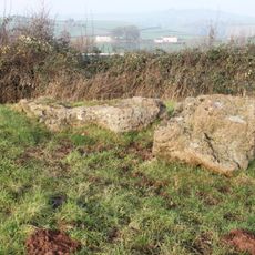
Large irregular stone circle at Stanton Drew south east of Church Farm
3.8 km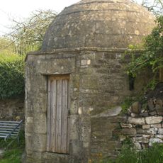
Round House
2.4 km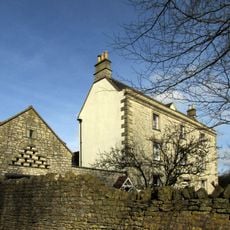
Conygre House
2.5 km
Hunstrete House, Flank Wall And West Wing
1.2 km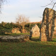
Stone cove at Stanton Drew 25m south west of St Mary's Church
4 km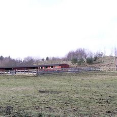
Arcade About 200 Metres North West Of Hunstrete House
1.1 km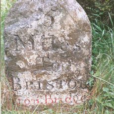
Milestone At National Grid Reference St 6169 6506
3.7 km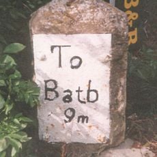
Milestone, Bath Road, Farmborough village, jct with Hunstrete Road
2.6 km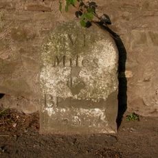
Milestone, New Road, Pensford
2.3 km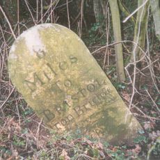
Milestone, Red Hill, N of Clutton
1.7 km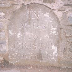
Milestone, Clutton opp. Warwick Arms
3 kmHa visitato questo luogo? Tocchi le stelle per valutarlo e condividere la Sua esperienza o foto con la community! Provalo ora! Puoi annullarlo in qualsiasi momento.
Scopri tesori nascosti ad ogni viaggio!
Da piccoli caffè caratteristici a panorami nascosti, fuggi dalla folla e scova i posti che fanno davvero per te. La nostra app ti semplifica tutto: ricerca vocale, filtri furbi, percorsi ottimizzati e dritte autentiche da viaggiatori di tutto il mondo. Scaricala subito per vivere l'avventura sul tuo smartphone!

Un nuovo approccio alla scoperta turistica❞
— Le Figaro
Tutti i luoghi che meritano di essere esplorati❞
— France Info
Un’escursione su misura in pochi clic❞
— 20 Minutes