
Stratfield Mortimer
Stratfield Mortimer, parrocchia civile del Berkshire
Posizione: West Berkshire
Confina con: Wokefield
Coordinate GPS: 51.37300,-1.03700
Ultimo aggiornamento: 4 marzo 2025 alle 08:00
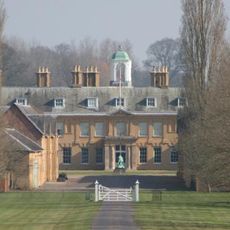
Stratfield Saye House
3.9 km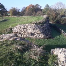
Silchester
3.6 km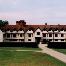
Ufton Court
5.2 km
The Frith
4.6 km
Calleva Atrebatum
3.6 km
Silchester House
4.8 km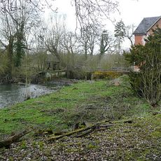
Stanford End Mill and River Loddon
3.6 km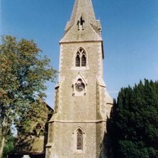
Church of St Peter
4.9 km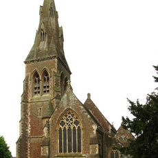
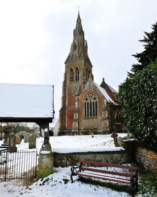
Church of St Mary Church of St Mary 66826410
323 m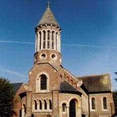
Church of St Mary the Virgin
4.2 km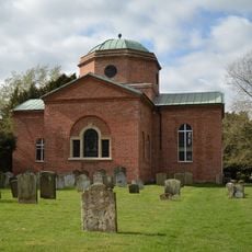
Church of St. Mary the Virgin, Stratfield Saye
3.7 km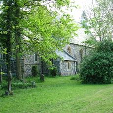
Holy Trinity Church
3.9 km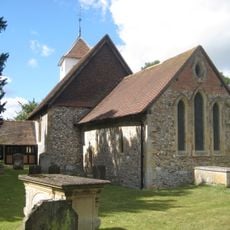
Church of St Mary
4.6 km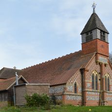
Church of St Mary the Virgin
2.7 km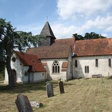
Church of St. Mary
3.3 km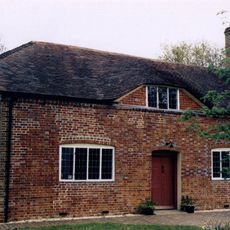
Countess Of Huntingdon's Chapel
5.5 km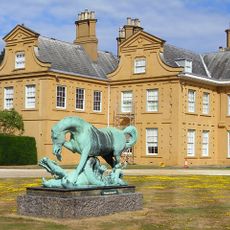
Statue of Horse and Dragon
3.9 km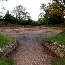
Anfiteatro romano di Silchester
3.1 km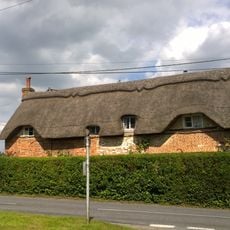
Dial Cottage
4.9 km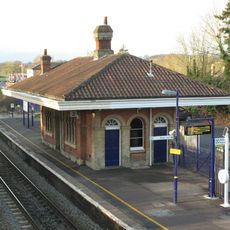
Mortimer Station
134 m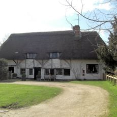
Church Cottage
4.5 km
St Benedict's School Wokefield Park Wokefield Park (st Benedict's School)
1.5 km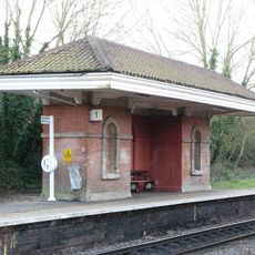
Waiting Room At Mortimer Station On South West Side Of Railway Line
151 m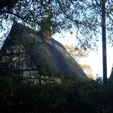
The Mount Farmhouse
3.1 km
The Late Iron Age oppidum and Roman town of Calleva Atrebatum and associated features
3.6 km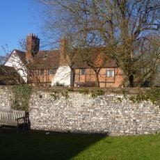
Old Manor Farmhouse
3.3 km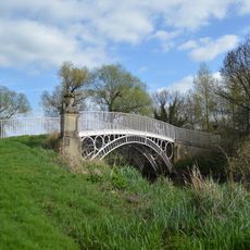
Bridge Over The River Loddon
4 km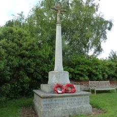
Mortimer West End War Memorial
3.8 kmHa visitato questo luogo? Tocchi le stelle per valutarlo e condividere la Sua esperienza o foto con la community! Provalo ora! Puoi annullarlo in qualsiasi momento.
Scopri tesori nascosti ad ogni viaggio!
Da piccoli caffè caratteristici a panorami nascosti, fuggi dalla folla e scova i posti che fanno davvero per te. La nostra app ti semplifica tutto: ricerca vocale, filtri furbi, percorsi ottimizzati e dritte autentiche da viaggiatori di tutto il mondo. Scaricala subito per vivere l'avventura sul tuo smartphone!

Un nuovo approccio alla scoperta turistica❞
— Le Figaro
Tutti i luoghi che meritano di essere esplorati❞
— France Info
Un’escursione su misura in pochi clic❞
— 20 Minutes