
Brayford, villaggio inglese
Posizione: North Devon
Coordinate GPS: 51.09000,-3.88000
Ultimo aggiornamento: 3 marzo 2025 alle 06:20
Bremridge
5 km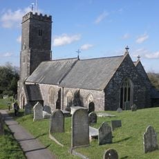
Church of St Peter
5.6 km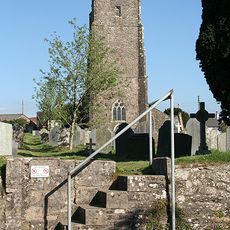
Church of St Peter
3.8 km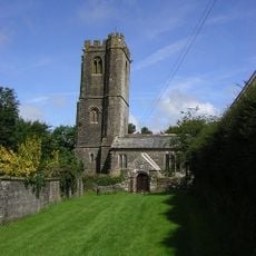
Church of St Bartholomew
5.3 km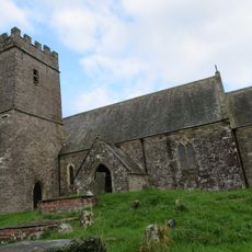
Church of St Michael
2.7 km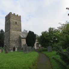
Church of St John the Baptist
1.1 km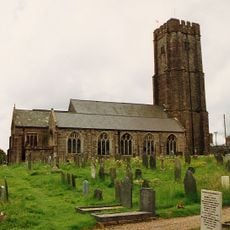
Church of All Saints
6.6 km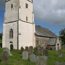
Church of Holy Trinity
6.7 km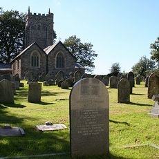
Church of All Saints
606 m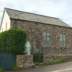
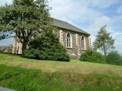
Baptist Chapel
5.3 km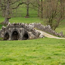
Deer Park Bridge
5.3 km
Hoops Cottage
3.3 km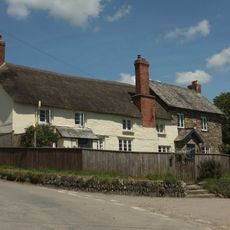
Buckinghams Leary Farmhouse
4.9 km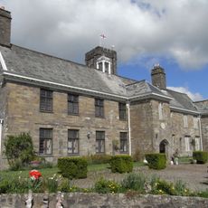
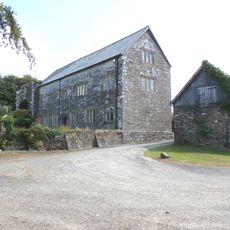
Court House
6.6 km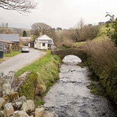
Footbridge Circa 30 Metres North East Of Town Farmhouse
6.8 km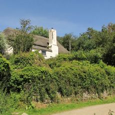
West Blakewell Cottage
3.1 km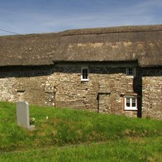
Church Cottages
2.7 km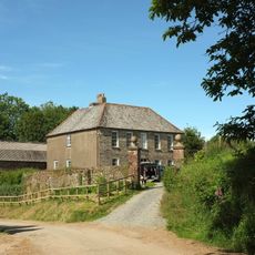
South Stoodleigh Farmhouse Including Attached Outbuildings To Rear
3.2 km
Gatepiers Circa 10 Metres South West Of South Stoodleigh Farmhouse
3.2 km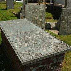
Chapple Chest Tomb, Huxtable Headstone And 2 Accompanying Stones Bearing Verses About 2 Metres South West Of South Porch Of Church Of St Peter
3.8 km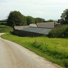
Stoodleigh Barton Including Lofted Outbuilding Attached At East End, Linhay Attached To North And Rear Courtyard Walls
3 km
West Park Farmhouse
5.7 km
'Five Barrows', group of eight barrows
5.6 km
Emmett's Grange
7.4 km
Four round barrows on Muxworthy Ridge
5.5 km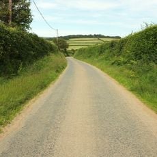
Camp S of Birch Ham Wood
3.9 km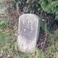
Milestone, Goodleigh Road, Gunn, opp. Berry Lane and post box
5.1 km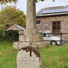
Bratton Fleming War Memorial
5.5 kmRecensioni
Ha visitato questo luogo? Tocchi le stelle per valutarlo e condividere la Sua esperienza o foto con la community! Provalo ora! Puoi annullarlo in qualsiasi momento.
Scopri tesori nascosti ad ogni viaggio!
Da piccoli caffè caratteristici a panorami nascosti, fuggi dalla folla e scova i posti che fanno davvero per te. La nostra app ti semplifica tutto: ricerca vocale, filtri furbi, percorsi ottimizzati e dritte autentiche da viaggiatori di tutto il mondo. Scaricala subito per vivere l'avventura sul tuo smartphone!

Un nuovo approccio alla scoperta turistica❞
— Le Figaro
Tutti i luoghi che meritano di essere esplorati❞
— France Info
Un’escursione su misura in pochi clic❞
— 20 Minutes