Attiva posizione

Abbiamo bisogno della tua posizione per mostrarti luoghi interessanti intorno a te

Scopri luoghi nelle vicinanze

Trova luoghi interessanti e gemme nascoste intorno a te

Indicazioni precise

Ottieni indicazioni precise e distanze verso i luoghi

La tua posizione non viene mai condivisa con altri utenti. Viene utilizzata solo quando tocchi il pulsante posizione.

Kelmscott

Accedi al tuo account

Inizia a esplorare — è gratis

Scelto da 67.234 viaggiatori nel mondo

Continua con Google
Continua con Apple
o

Ti invieremo un codice per connetterti

Continuando, accetti i nostri Termini e Condizioni e la nostra Informativa sulla Privacy

Controlla la tua casella di posta

Abbiamo inviato un codice PIN nella tua casella di posta. Inserisci il codice qui sotto.

Discussion Recensioni 1 Foto
5.7k Popolarità

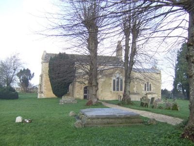
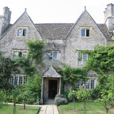
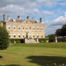
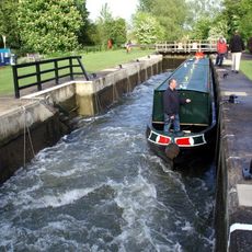
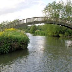
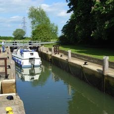
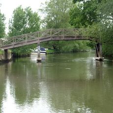
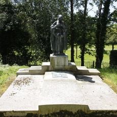
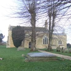
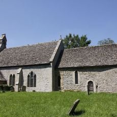
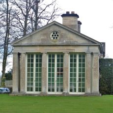
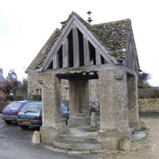
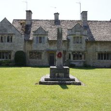
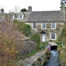
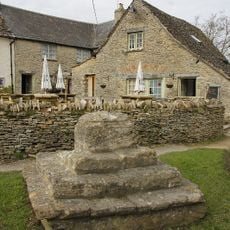
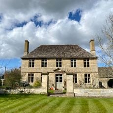
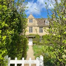
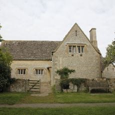
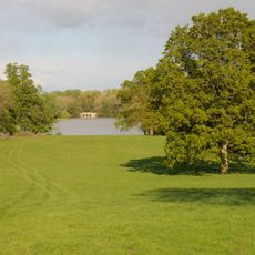
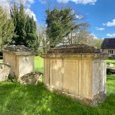
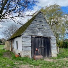
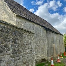
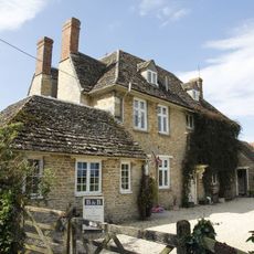
Kelmscott, village and civil parish in West Oxfordshire, Oxfordshire, England

La comunità dei viaggiatori curiosi

AroundUs riunisce migliaia di luoghi selezionati, consigli locali e gemme nascoste, arricchiti ogni giorno da oltre 60,000 contributori in tutto il mondo.

Inizia a esplorare
Posizione
Confina con
Little Faringdon, Eaton Hastings, Grafton and Radcot, Langford
Coordinate GPS
51.69500,-1.63800
Ultimo aggiornamento
3 marzo 2025 alle 01:08
Intorno a questo luogo
Kelmscott Manor
Regno Unito

Kelmscott Manor

779 m
Buscot Park
Regno Unito

Buscot Park

2.9 km
Buscot Lock
Regno Unito

Buscot Lock

2.7 km
Bloomers Hole Footbridge
Regno Unito

Bloomers Hole Footbridge

2.8 km
Grafton Lock
Regno Unito

Grafton Lock

2 km
Eaton Footbridge
Regno Unito

Eaton Footbridge

1.1 km
Faringdon Tomb Approximately 3 Metres To West Of St Michael's Church
Regno Unito

Faringdon Tomb Approximately 3 Metres To West Of St Michael's Church

1.6 km
Church of St George
Regno Unito

Church of St George

342 m
Church of St Michael
Regno Unito

Church of St Michael

1.6 km
Morris Memorial Approximately 20 Metres South East Of Chancel Of Church Of St George
Regno Unito

Morris Memorial Approximately 20 Metres South East Of Chancel Of Church Of St George

342 m
Buscot Park: West Pavilion With Attached Terrace Walls And Gatepier
Regno Unito

Buscot Park: West Pavilion With Attached Terrace Walls And Gatepier

2.9 km
Buscot Park: East Pavilion With Attached Terrace Walls And Gatepier
Regno Unito

Buscot Park: East Pavilion With Attached Terrace Walls And Gatepier

2.9 km
Village Well
Regno Unito

Village Well

2.9 km
Eaton Hastings War Memorial
Regno Unito

Eaton Hastings War Memorial

2.7 km
Priory Mill
Regno Unito

Priory Mill

2.6 km
Cross Base And Steps Approximately 15 Metres North Of The Plough
Regno Unito

Cross Base And Steps Approximately 15 Metres North Of The Plough

581 m
Manor Farmhouse With Attached Wall And Gate Pier
Regno Unito

Manor Farmhouse With Attached Wall And Gate Pier

544 m
Stone slab fence enclosing and dividing gardens of numbers 1 and 4 Manor Cottages continuing to south east along road to Garden Cottage
Regno Unito

Stone slab fence enclosing and dividing gardens of numbers 1 and 4 Manor Cottages continuing to south east along road to Garden Cottage

651 m
Barn Approximately 20 Metres South East Of Kelmscott Manor
Regno Unito

Barn Approximately 20 Metres South East Of Kelmscott Manor

772 m
Barn Approximately 15 Metres South Of Kelmscott Manor
Regno Unito

Barn Approximately 15 Metres South Of Kelmscott Manor

793 m
Lower House
Regno Unito

Lower House

576 m
Village Hall
Regno Unito

Village Hall

461 m
Buscot Park: Bridge Over The Lake, Approximately 50 Metres South Of Basque House
Regno Unito

Buscot Park: Bridge Over The Lake, Approximately 50 Metres South Of Basque House

2.7 km
Ford Memorial,C18 Chest Tomb And Two C17 Monuments Approximately 2-5 Metres South Of South Transept Of Church Of St George
Regno Unito

Ford Memorial,C18 Chest Tomb And Two C17 Monuments Approximately 2-5 Metres South Of South Transept Of Church Of St George

350 m
Barn Approximately 40 Metres South West Of Garden Cottage
Regno Unito

Barn Approximately 40 Metres South West Of Garden Cottage

757 m
Barn Approximately 25 Metres North East Of Kelmscott Manor
Regno Unito

Barn Approximately 25 Metres North East Of Kelmscott Manor

723 m
Manor Farmhouse
Regno Unito

Manor Farmhouse

2.8 km
Milestone, Lechlade Road; against wall of Buscot House, 300m E of main gate
Regno Unito

Milestone, Lechlade Road; against wall of Buscot House, 300m E of main gate

2.6 km
Mostra la mappa completa
Recensioni
Condividi la tua esperienza

Nessuna recensione

Discussioni
Avvia una discussione...

Nessuna discussione

« Kelmscott - village and civil parish in West Oxfordshire, Oxfordshire, England » è fornito da Around Us (it.aroundus.com). Le immagini e i testi sono tratti dal progetto Wikimedia con licenza Creative Commons. È possibile copiare, distribuire e modificare copie di questa pagina, alle condizioni stabilite dalla licenza, a condizione che questa nota sia chiaramente visibile.

Scopri tesori nascosti ad ogni viaggio!

Da piccoli caffè caratteristici a panorami nascosti, fuggi dalla folla e scova i posti che fanno davvero per te. La nostra app ti semplifica tutto: ricerca vocale, filtri furbi, percorsi ottimizzati e dritte autentiche da viaggiatori di tutto il mondo. Scaricala subito per vivere l'avventura sul tuo smartphone!

Around Us App Screenshot

Un nuovo approccio alla scoperta turistica

Le Figaro

Tutti i luoghi che meritano di essere esplorati

France Info

Un’escursione su misura in pochi clic

20 Minutes

Around Us
Guida di viaggio e mappe
Scarica

Invia al tuo telefono

QR Code
1

Apri l'app fotocamera sul tuo cellulare.

2

Inquadra il codice QR con la fotocamera. Apparirà una notifica.

3

Tocca la notifica per aprire il link.