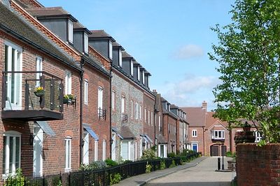
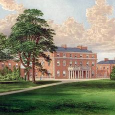
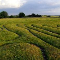
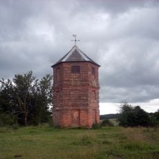
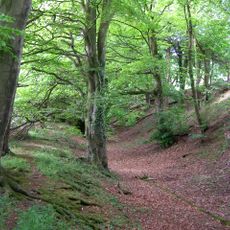
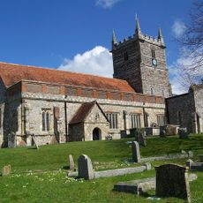
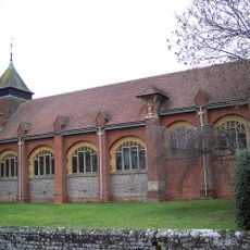
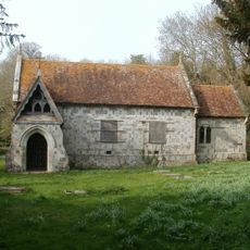
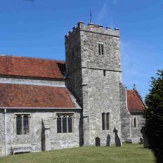
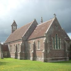
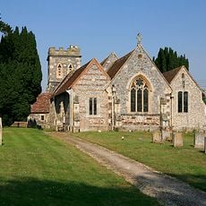
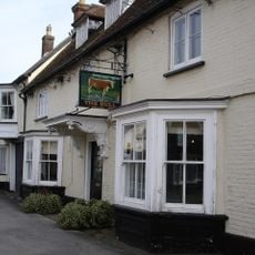
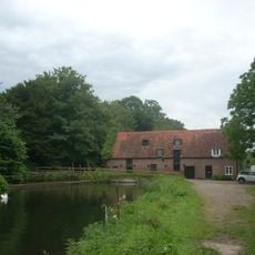
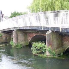
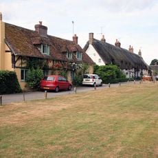
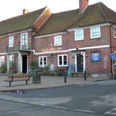
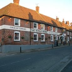
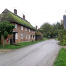
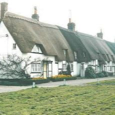
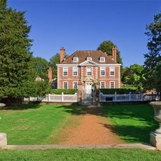
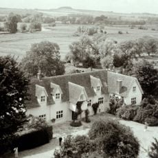
Downton, village and civil parish in Wiltshire, UK
Posizione: Wiltshire
Sito web: http://downtonparishcouncil.gov.uk/
Confina con: Alderbury
Sito web: http://downtonparishcouncil.gov.uk
Coordinate GPS: 50.99300,-1.74300
Ultimo aggiornamento: 8 marzo 2025 alle 22:31
Trafalgar Park
2.3 km
Mizmaze
4.2 km
The Pepperbox
4.6 km
Clearbury Ring
4.1 km
Church of St Laurence
80 m
Church of St Birinus
1.8 km
Standlynch Chapel
2 km
Church of St Mary the Virgin
7.4 km
Church of Charlton All Saints
2.6 km
Church of St Andrew
5 km
The Bull Hotel
1 km
The Wooden Spoon
38 m
Downton Church Of England (Controlled) Primary School
710 m
The Kings Head
2.1 km
The Three Crowns
4.8 km
Box Cottage
7.4 km
Standlynch Mill
2 km
County Bridge
371 m
Well Cottage
972 m
The White Horse Inn
630 m
The Kings Arms
44 m
Wick Farm Cottages
1.2 km
12 and 14, The Borough
988 m
Mizmaze on Breamore Down
4.2 km
The Moot with attached kitchen
164 m
Manor House
134 m
Gate And Gate Piers To Gardens Opposite The Moot
148 m
The Moot: a ringwork and bailey, earlier Roman settlement remains and later garden earthworks immediately east of the River Avon
224 mRecensioni
Ha visitato questo luogo? Tocchi le stelle per valutarlo e condividere la Sua esperienza o foto con la community! Provalo ora! Puoi annullarlo in qualsiasi momento.
Scopri tesori nascosti ad ogni viaggio!
Da piccoli caffè caratteristici a panorami nascosti, fuggi dalla folla e scova i posti che fanno davvero per te. La nostra app ti semplifica tutto: ricerca vocale, filtri furbi, percorsi ottimizzati e dritte autentiche da viaggiatori di tutto il mondo. Scaricala subito per vivere l'avventura sul tuo smartphone!
Un nuovo approccio alla scoperta turistica❞
— Le Figaro
Tutti i luoghi che meritano di essere esplorati❞
— France Info
Un’escursione su misura in pochi clic❞
— 20 Minutes