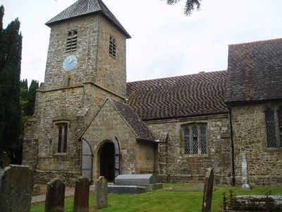
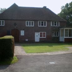
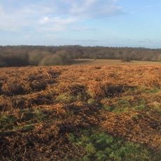
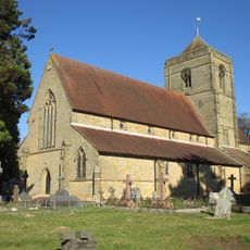
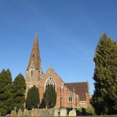
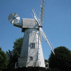
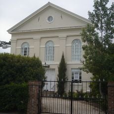
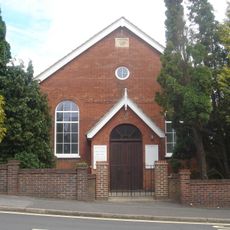
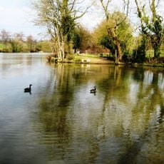
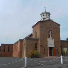
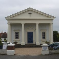
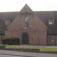
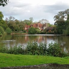
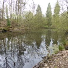
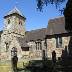
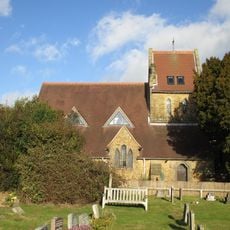
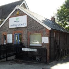
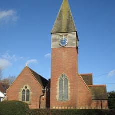
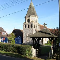
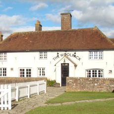
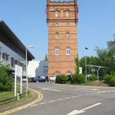
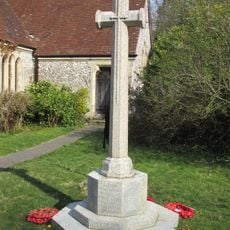
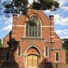
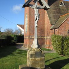
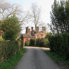
Wivelsfield, village and civil parish in East Sussex, United Kingdom
Posizione: Lewes
Confina con: Haywards Heath
Sito web: http://wivelsfield.net/nfHome.asp?Section=Parish%20Council&ButtonPressed=Sadmin32105
Coordinate GPS: 50.97000,-0.09000
Ultimo aggiornamento: 9 marzo 2025 alle 06:52
World's End, West Sussex
2.1 km
Bethel Strict Baptist Chapel, Wivelsfield
891 m
Ditchling Common
2.4 km
St Wilfrid's Church, Haywards Heath
3.4 km
St John the Evangelist's Church, Burgess Hill
3.3 km
Heritage Mill
4.6 km
Providence Strict Baptist Chapel, Burgess Hill
3.4 km
Jireh Chapel
2.7 km
Bedelands Farm Nature Reserve
2.3 km
St Wilfrid's Church, Burgess Hill
3.6 km
All Saints United Reformed Church
3 km
St Richard's Church, Haywards Heath
4.1 km
Chailey Moat
4.8 km
Ashenground and Bolnore Woods
2.9 km
The Parish Church of St Peter and St John the Baptist
377 m
Church of Our Lady, Queen of Heaven
4.8 km
King's Church Uckfield
572 m
Church of St Augustine of Canterbury
3.7 km
Ote Hall Chapel
250 m
All Saints
4.4 km
The Woolpack Public House
4.1 km
Water Tower Of St Francis' Hospital
2.4 km
Plumpton Green War Memorial
4.4 km
St Andrew's Church
2.4 km
Scaynes Hill WWI Memorial
3.7 km
Great Ote Hall
1.2 km
RAF Chailey WWII Memorial
3.4 km
Main Block Of St Francis' Hospital
2.2 kmRecensioni
Ha visitato questo luogo? Tocchi le stelle per valutarlo e condividere la Sua esperienza o foto con la community! Provalo ora! Puoi annullarlo in qualsiasi momento.
Scopri tesori nascosti ad ogni viaggio!
Da piccoli caffè caratteristici a panorami nascosti, fuggi dalla folla e scova i posti che fanno davvero per te. La nostra app ti semplifica tutto: ricerca vocale, filtri furbi, percorsi ottimizzati e dritte autentiche da viaggiatori di tutto il mondo. Scaricala subito per vivere l'avventura sul tuo smartphone!
Un nuovo approccio alla scoperta turistica❞
— Le Figaro
Tutti i luoghi che meritano di essere esplorati❞
— France Info
Un’escursione su misura in pochi clic❞
— 20 Minutes