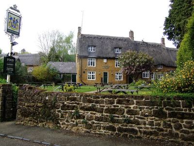
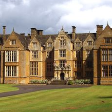
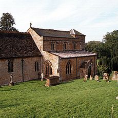
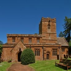
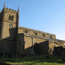
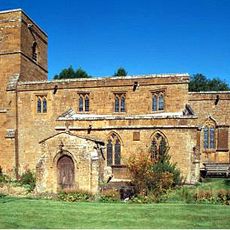
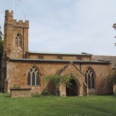
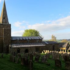
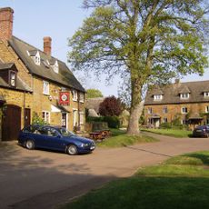
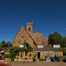
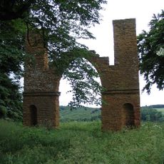
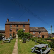
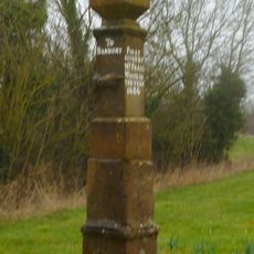
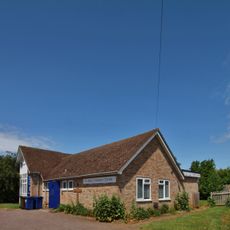
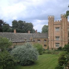
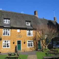
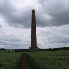
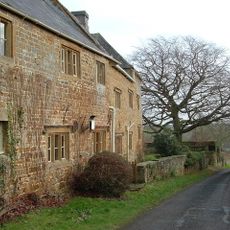
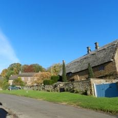
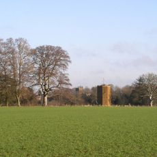
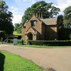
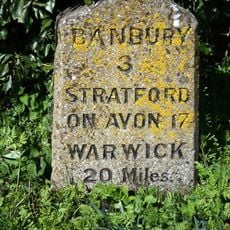
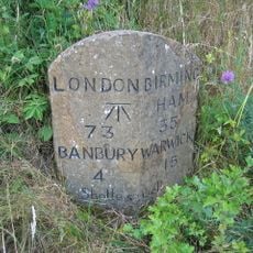
Wroxton, village and civil parish in Cherwell district, Oxfordshire, England
Posizione: Cherwell
Confina con: Horley, Hornton, Shenington with Alkerton, Shutford, North Newington, Drayton, Hanwell
Sito web: http://wroxton.org.uk
Coordinate GPS: 52.07400,-1.40000
Ultimo aggiornamento: 6 marzo 2025 alle 07:44
Wroxton Abbey
525 m
Roebuck Inn
1.7 km
Church of St Peter
1.7 km
Church of St Michael
3.6 km
Church of All Saints, Wroxton
531 m
Church of St John the Baptist
3.7 km
Church of St Peter
2.9 km
Church of St Lawrence
3.9 km
Church of St Mary Magdalene
2.2 km
Church of St Ethelreda
2.1 km
Church of Holy Trinity
4 km
Church of St Martin
3.1 km
The Bell Inn
4.2 km
George And Dragon Public House
3.1 km
Drayton Arch Approximately 300 Metres To South Of Park Farmhouse
1.8 km
The Butchers Arms Public House
2.3 km
Stone Guide Post
392 m
St Paul's Church Centre
2.8 km
Toll House
3.6 km
Hanwell Castle
2.9 km
The North Arms Public House
277 m
Obelisk Approximately 400 Metres South East Of Wroxton College
977 m
Manor House
2 km
Proffitt's House
3.7 km
Dovecote Approximately 200 Metres South West Of Wroxton College
468 m
Broughton Castle, Lodge
3.4 km
Milestone, Stratford Road; opp. White Horse PH
340 m
Milestone, rear northern village turn
3.6 kmRecensioni
Ha visitato questo luogo? Tocchi le stelle per valutarlo e condividere la Sua esperienza o foto con la community! Provalo ora! Puoi annullarlo in qualsiasi momento.
Scopri tesori nascosti ad ogni viaggio!
Da piccoli caffè caratteristici a panorami nascosti, fuggi dalla folla e scova i posti che fanno davvero per te. La nostra app ti semplifica tutto: ricerca vocale, filtri furbi, percorsi ottimizzati e dritte autentiche da viaggiatori di tutto il mondo. Scaricala subito per vivere l'avventura sul tuo smartphone!
Un nuovo approccio alla scoperta turistica❞
— Le Figaro
Tutti i luoghi che meritano di essere esplorati❞
— France Info
Un’escursione su misura in pochi clic❞
— 20 Minutes