
Bobbington, village in Staffordshire, England, United Kingdom
Posizione: South Staffordshire
Coordinate GPS: 52.51185,-2.28505
Ultimo aggiornamento: 7 marzo 2025 alle 14:44
All Saints Church, Claverley
3.3 km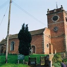
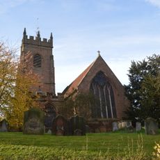
Church of St Andrew, Quatt
5.6 km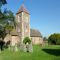
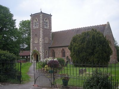
Church of the Holy Cross
93 m
Church of St Mary, Enville
4 km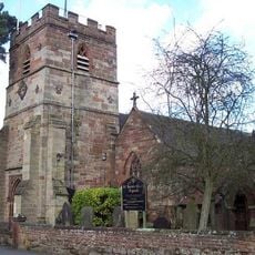
Church of All Saints
5.8 km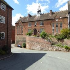
Church of England School
3.2 km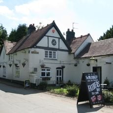
The Plough Inn
5.6 km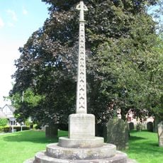
Trysull and Seisdon War Memorial
5.8 km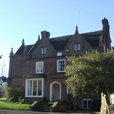
Trysull Manor House And Attached Coach House And Stable Block
5.6 km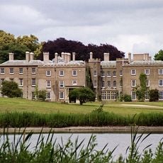
Enville Hall
4.6 km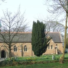
The Church of Holy Innocents
3.1 km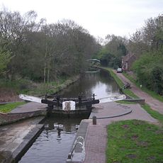
Botterham bridge and locks with adjacent circular weir
5.3 km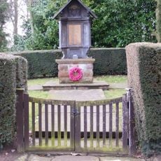
Claverley War Memorial
3.7 km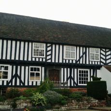
The Vicarage
3.3 km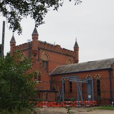
The Bratch Water Pumping Station
6.9 km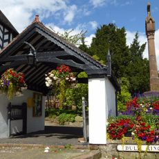
Lychgate
3.3 km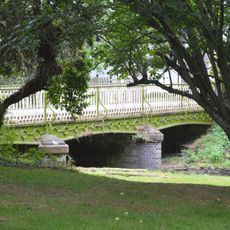
Bridge Over Smestow Brook
5.9 km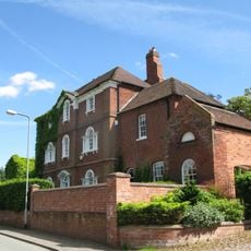
The Red House
5.7 km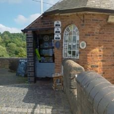
Staffordshire And Worcestershire Canal Bratch Locks, Bridge Number 47 (Bratch Bridge) Staffordshire And Worcestershire Canal Upper Bratch Bridge And Associated Toll House
6.8 km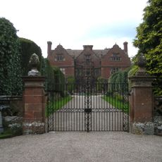
Ludstone Hall
4.1 km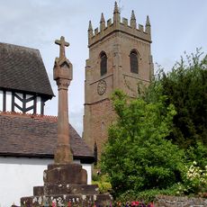
Churchyard cross
3.3 km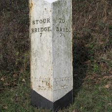
Milepost At Ngr So 80538754
2.9 km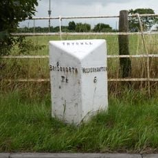
Milepost, E of Fox Road jct, opp public house car Park
5.9 km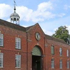
Coach House And Stable Block
4.6 km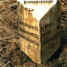
Milepost, S of Gorse Corner
7 km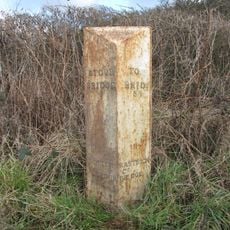
Milepost, W Broad Oak, just w of jct with Broad Oak Lane
3 km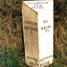
Milepost, SE of Enville village
4.7 km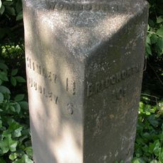
Milepost, SE of Smestow Bridge
5.3 kmHa visitato questo luogo? Tocchi le stelle per valutarlo e condividere la Sua esperienza o foto con la community! Provalo ora! Puoi annullarlo in qualsiasi momento.
Scopri tesori nascosti ad ogni viaggio!
Da piccoli caffè caratteristici a panorami nascosti, fuggi dalla folla e scova i posti che fanno davvero per te. La nostra app ti semplifica tutto: ricerca vocale, filtri furbi, percorsi ottimizzati e dritte autentiche da viaggiatori di tutto il mondo. Scaricala subito per vivere l'avventura sul tuo smartphone!

Un nuovo approccio alla scoperta turistica❞
— Le Figaro
Tutti i luoghi che meritano di essere esplorati❞
— France Info
Un’escursione su misura in pochi clic❞
— 20 Minutes