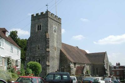
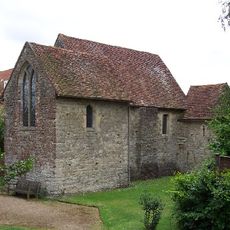
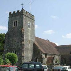
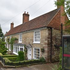
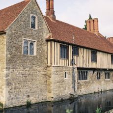
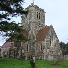
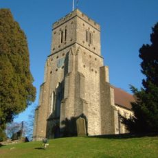
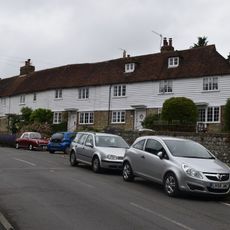
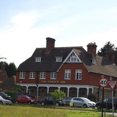
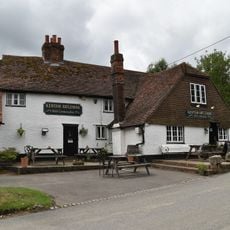
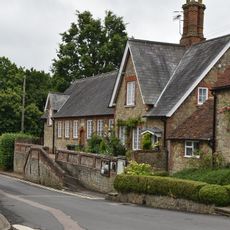
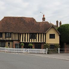
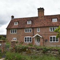
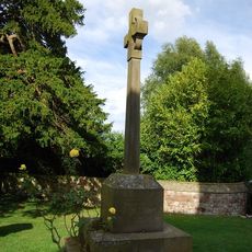
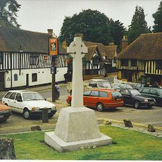
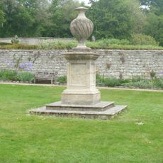
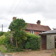
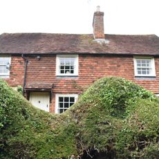
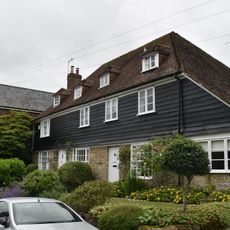
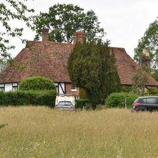
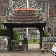
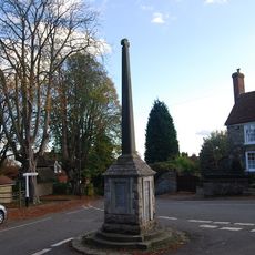
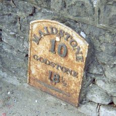
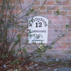
Plaxtol, village and civil parish in Kent, UK
La comunità dei viaggiatori curiosi
AroundUs riunisce migliaia di luoghi selezionati, consigli locali e gemme nascoste, arricchiti ogni giorno da oltre 60,000 contributori in tutto il mondo.
Posizione
Confina con
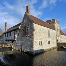
Ightham
Coordinate GPS
51.25922,0.29485
Ultimo aggiornamento
3 aprile 2025 alle 08:40