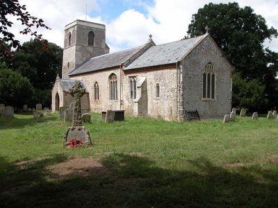
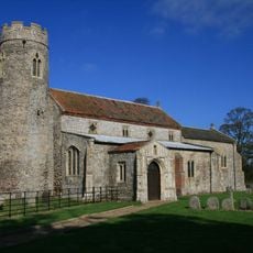
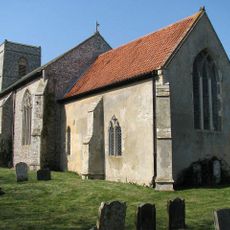
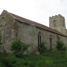
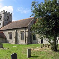
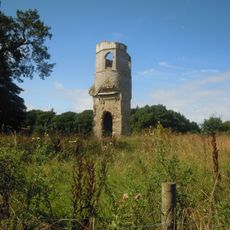
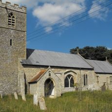
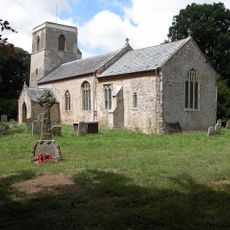
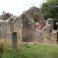
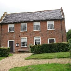
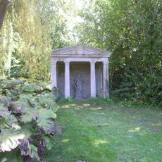
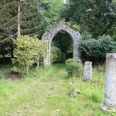
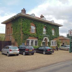
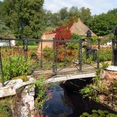
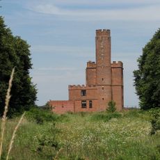
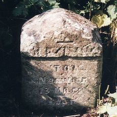
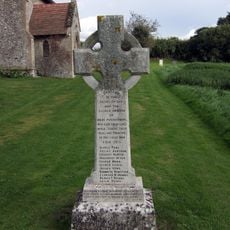
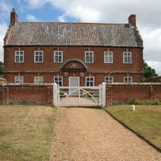
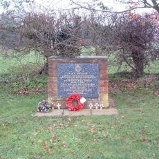
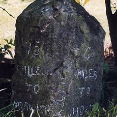
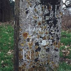
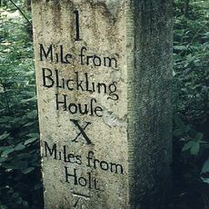
Itteringham, village in the United Kingdom
Posizione: North Norfolk
Coordinate GPS: 52.83450,1.18745
Ultimo aggiornamento: 27 marzo 2025 alle 23:07
The Mausoleum
2.4 km
Wolterton Hall
1.7 km
Mannington Hall
1 km
Church of St Andrew, Wickmere
3.2 km
Church of St Margaret
3.4 km
Church of St Peter
3.7 km
Church of St Andrew
2.3 km
Church of St Margaret
1.8 km
Church of St Andrew
3.2 km
Church of St Peter and St Paul
2.9 km
Church of St Mary
337 m
Remains of Parish Church of Mannington
1 km
Congregational Chapel
2 km
Temple In Garden Of Mannington Hall Circa 50 Metres South Of South East Corner Of Moat
914 m
Arch 12 Metres South East Of Chancel Of Mannington Church
980 m
Saracen's Head
2.6 km
Draw Bridge At Mannington Hall
1 km
Itteringham War Memorial
326 m
Arch Circa 9 Metres South West Of Nave Of Mannington Church
997 m
The Tower House
2.6 km
Milestone On North Side Of B1354
3.3 km
Little Barningham War Memorial
2.3 km
Walls To Garden And Moat, Bridge And Attached Gazebo And Arch At Mannington Hall
1 km
Manor Farm House And Attached Garden Walls
350 m
RAF Oulton Memorial
3.3 km
Milestone, opp. sign for rd narrows and bridge weight limit
3.5 km
Milestone, between Wolterton Hall and church ruins
1.8 km
Milestone, opp. W end of wood, 10yds E of metal gate opp.
3.3 kmHa visitato questo luogo? Tocchi le stelle per valutarlo e condividere la Sua esperienza o foto con la community! Provalo ora! Puoi annullarlo in qualsiasi momento.
Scopri tesori nascosti ad ogni viaggio!
Da piccoli caffè caratteristici a panorami nascosti, fuggi dalla folla e scova i posti che fanno davvero per te. La nostra app ti semplifica tutto: ricerca vocale, filtri furbi, percorsi ottimizzati e dritte autentiche da viaggiatori di tutto il mondo. Scaricala subito per vivere l'avventura sul tuo smartphone!
Un nuovo approccio alla scoperta turistica❞
— Le Figaro
Tutti i luoghi che meritano di essere esplorati❞
— France Info
Un’escursione su misura in pochi clic❞
— 20 Minutes