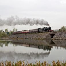
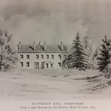
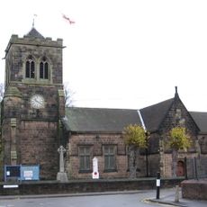
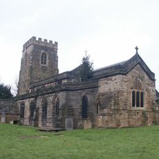
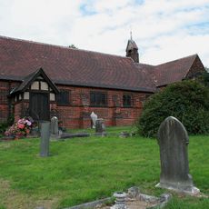
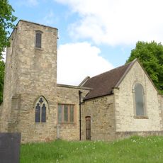
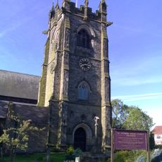
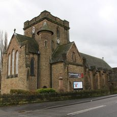
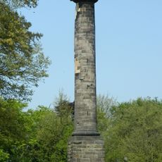
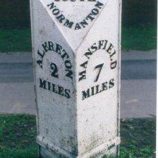
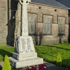
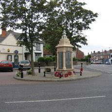
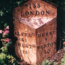
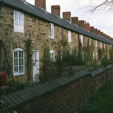
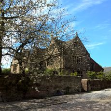
Ironville, village and civil parish in Amber Valley district, Derbyshire, England
Posizione: Amber Valley
Confina con: Riddings, Aldercar and Langley Mill, Codnor
Coordinate GPS: 53.06300,-1.35000
Ultimo aggiornamento: 24 marzo 2025 alle 22:52
Midland Railway – Butterley
3.3 km
Castello di Codnor
2 km
Carnfield Hall
4.2 km
Felley Priory
4.7 km
Butterley Reservoir, Derbyshire
3.6 km
Butterley Hall
3.2 km
Christ Church
61 m
St. Helen's Church, Selston
2.6 km
Ripley Town Hall
4.1 km
All Saints' Church, Ripley
4 km
Church of St James
1.1 km
Church of St. Michael and All Angels, Underwood
3.9 km
St. Mary's Church, Westwood
1.3 km
St James' Church, Codnor
3.7 km
Church of St Helen
3.5 km
Church of St Andrew
3.5 km
Church of St Andrew
5.1 km
Jessop Monument
985 m
Milepost At Sk 443 562
4.2 km
Codnor Park and Ironville War Memorial
72 m
Jacksdale War Memorial
983 m
Pinxton War Memorial Cross
3.5 km
Milepost Adjacent To Number 8
4.1 km
Signal Box To The North Of Track 480 Metres West Of Butterley Station, And 30 Metres East Of Asher Lane Railway Crossing
3.8 km
Signal Box 30 Metres North East Of Cumberland House At The Midland Railway Trust Station
3.3 km
Milepost At Sk 399 486
4.9 km
Stone Row
1.2 km
Padley Hall
4.2 kmRecensioni
Ha visitato questo luogo? Tocchi le stelle per valutarlo e condividere la Sua esperienza o foto con la community! Provalo ora! Puoi annullarlo in qualsiasi momento.
Scopri tesori nascosti ad ogni viaggio!
Da piccoli caffè caratteristici a panorami nascosti, fuggi dalla folla e scova i posti che fanno davvero per te. La nostra app ti semplifica tutto: ricerca vocale, filtri furbi, percorsi ottimizzati e dritte autentiche da viaggiatori di tutto il mondo. Scaricala subito per vivere l'avventura sul tuo smartphone!
Un nuovo approccio alla scoperta turistica❞
— Le Figaro
Tutti i luoghi che meritano di essere esplorati❞
— France Info
Un’escursione su misura in pochi clic❞
— 20 Minutes