
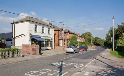
Marchwood, village in Hampshire, England, United Kingdom
Posizione: New Forest
Sito web: https://marchwoodparishcouncil.org.uk
Coordinate GPS: 50.88333,-1.45000
Ultimo aggiornamento: 4 marzo 2025 alle 15:17
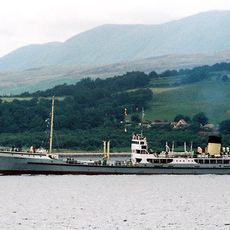
SS Shieldhall
2.8 km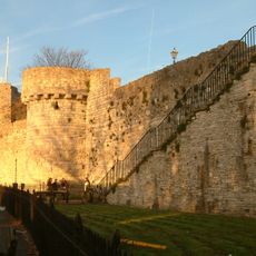
Southampton town walls
3.5 km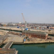
King George V Dry Dock
3 km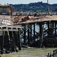
Royal Pier
3.2 km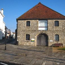
The Wool House
3.4 km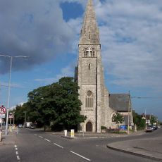
Christ Church, Freemantle
3.5 km
Carnival House
3.5 km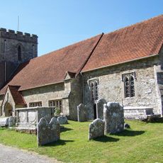
Church of All Saints
1.3 km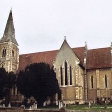
Church of St John the Apostle
793 m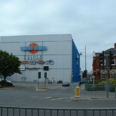
Odeon Southampton
3.4 km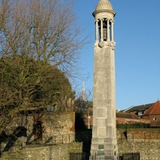
Pilgrim Fathers' Memorial
3.4 km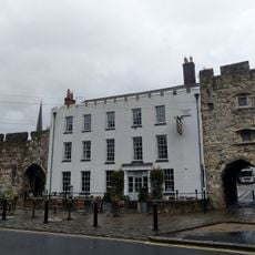
The Royal Standard Inn
3.5 km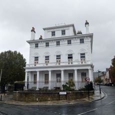
1A, Bugle Street
3.5 km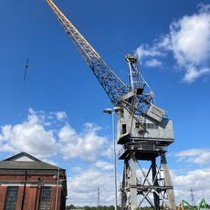
No. 7 Pumping Station At King George V Dry Dock
2.8 km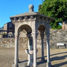
Drinking Fountain
3.4 km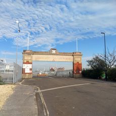
Gates No. 8 And No. 10 To The Western Docks
3.3 km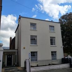
8, Bugle Street
3.5 km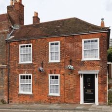
9 And 10, Westgate Street
3.5 km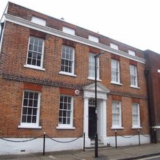
11 And 13, Bugle Street
3.5 km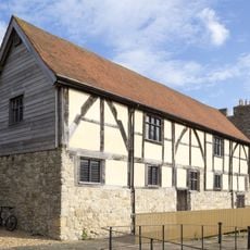
Tudor Merchants Hall
3.5 km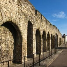
Town wall: section between Simnal Street and the site of the Bugle Tower excluding the West Gate
3.5 km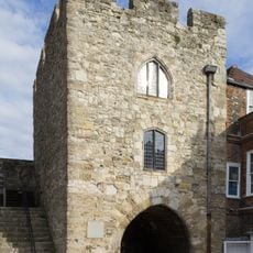
Southampton town wall: the West Gate
3.5 km
369 And 371A, Millbrook Road
3.4 km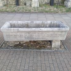
Horse Trough
3.4 km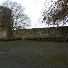
Wall Adjoining To North-West Of Canute's Palace
3.5 km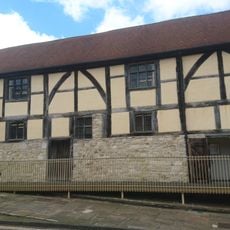
8, Westgate Street
3.5 km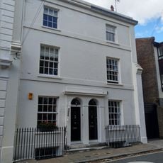
1 and 3, Bugle Street
3.5 km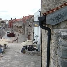
Sections of wall running south along Esplanade from south-west corner of Simnel Street to University Air Squadron Headquarters at south end of Bugle Street. Includes The Arcades, The West Gate, Blue Anchor Postern and Biddles Gate
3.5 kmHa visitato questo luogo? Tocchi le stelle per valutarlo e condividere la Sua esperienza o foto con la community! Provalo ora! Puoi annullarlo in qualsiasi momento.
Scopri tesori nascosti ad ogni viaggio!
Da piccoli caffè caratteristici a panorami nascosti, fuggi dalla folla e scova i posti che fanno davvero per te. La nostra app ti semplifica tutto: ricerca vocale, filtri furbi, percorsi ottimizzati e dritte autentiche da viaggiatori di tutto il mondo. Scaricala subito per vivere l'avventura sul tuo smartphone!

Un nuovo approccio alla scoperta turistica❞
— Le Figaro
Tutti i luoghi che meritano di essere esplorati❞
— France Info
Un’escursione su misura in pochi clic❞
— 20 Minutes