
East Haddon, village and civil parish in Northamptonshire, United Kingdom
Posizione: West Northamptonshire
Coordinate GPS: 52.31060,-1.02610
Ultimo aggiornamento: 4 marzo 2025 alle 06:33
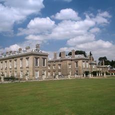
Althorp
3.8 km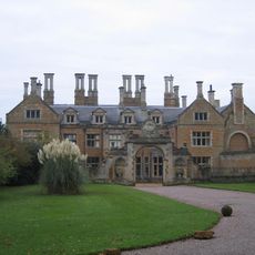
Holdenby House
2.9 km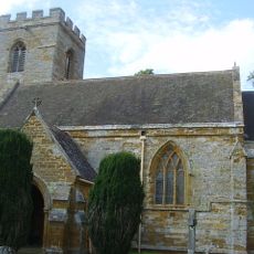
All Saints Church, Holdenby
2.8 km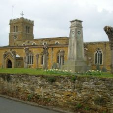
Church of St Lawrence
3.8 km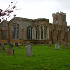
Church of St Mary the Virgin, Great Brington
3.3 km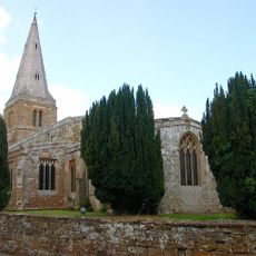
Church of St Ethelreda, Guilsborough
4.3 km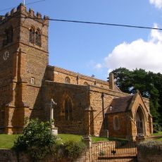
Church of St Denys
1.9 km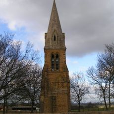
St Johns Church Tower
5.1 km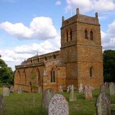
Church of St Andrew
5.3 km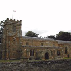
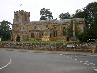
Church of St Mary
407 m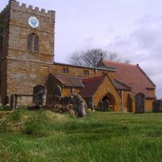
Church of St Andrew
4.7 km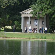
Althorp, Garden Temple
3.5 km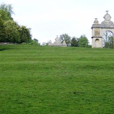
Holdenby House, carriage arch about 130m south east
3 km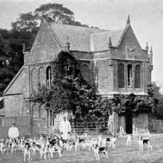
Althorp, Falconry Or Hawking Tower
3.2 km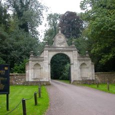
Holdenby House, Carriage Arch Approximately 130 Metres North East
3 km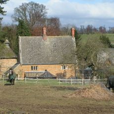
The Dovecote
5.2 km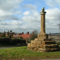
Cross, Approximately 40 Metres South West Of St Mary's Church
3.3 km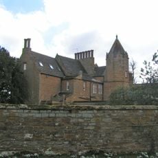
Green Meadow
3.3 km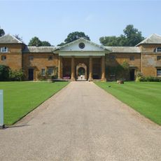
Althorp, Stables
3.8 km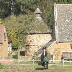
Dovecote Approximately 27 Metres East Of The Dovecote
5.2 km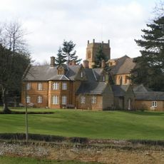
The Old Rectory
5.3 km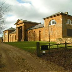
Stables Of Harlestone House
5.3 km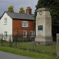
Great Brington War Memorial
3.5 km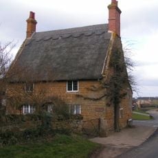
The Old Forge
4.8 km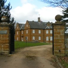
Gate Piers Approximately 60 Metres South Of The Old Rectory
5.4 km
107, Upper Harlestone
5.5 km
114, Upper Harlestone
5.3 km
Long Buckby ringwork and bailey
4 kmHa visitato questo luogo? Tocchi le stelle per valutarlo e condividere la Sua esperienza o foto con la community! Provalo ora! Puoi annullarlo in qualsiasi momento.
Scopri tesori nascosti ad ogni viaggio!
Da piccoli caffè caratteristici a panorami nascosti, fuggi dalla folla e scova i posti che fanno davvero per te. La nostra app ti semplifica tutto: ricerca vocale, filtri furbi, percorsi ottimizzati e dritte autentiche da viaggiatori di tutto il mondo. Scaricala subito per vivere l'avventura sul tuo smartphone!

Un nuovo approccio alla scoperta turistica❞
— Le Figaro
Tutti i luoghi che meritano di essere esplorati❞
— France Info
Un’escursione su misura in pochi clic❞
— 20 Minutes