
Sudbrooke, village in the United Kingdom
Posizione: West Lindsey
Coordinate GPS: 53.26484,-0.44392
Ultimo aggiornamento: 3 marzo 2025 alle 00:52

Woodside Wildlife Park
4.4 km
Church of St John Baptist
3.2 km
Church of All Saints
4.6 km
Church of St Peter and St Paul
1.5 km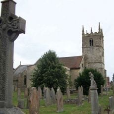
Church of St Germain
2.1 km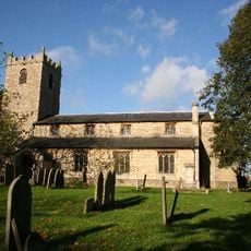
Church of St Mary
5.2 km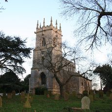
Church of St Clement
3.5 km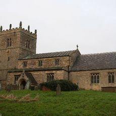
Church of St Chad
4.3 km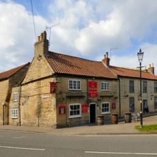
The Plough Inn
3 km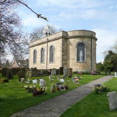
Church of St Peter and St Paul
3 km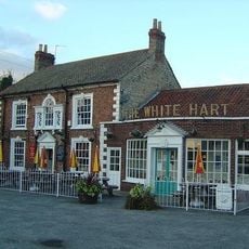
White Hart Inn
3.3 km
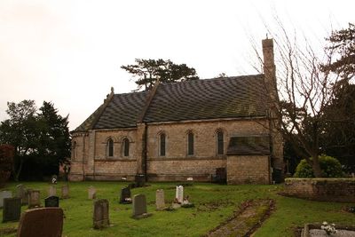
Church of St Edward the Confessor, Sudbrooke
1.1 km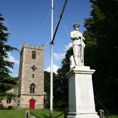
War Memorial in Churchyard of Church of St Mary
5.2 km
Church of St Edward
3.7 km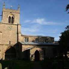
Church of All Saints
3.1 km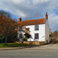
10, Church Street
3.1 km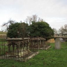
Monument To Thomas Straw, 4 Yards South East Of Apse Of Church Of All Saints
4.6 km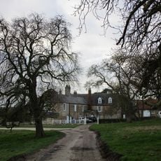
Greetwell Hall
4.5 km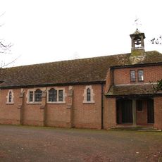
St Hugh
2.5 km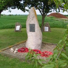
RAF Fiskerton WWII Memorial
2.3 km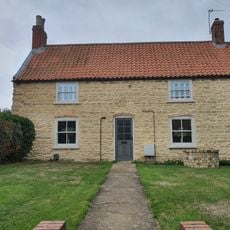
7, Ryland Road
5.3 km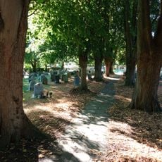
2 Gravestones At East End Of Church Of St Mary
5.2 km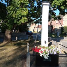
Pump On The Green
5.1 km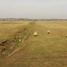
Car Dyke between Washingborough and Common Square
4.8 km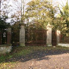
Gates And Piers To Nettleham Hall
4.6 km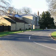
The Manor House
1.5 km
Welton Library
5.8 km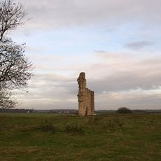
Barlings Priory
5.4 kmRecensioni
Ha visitato questo luogo? Tocchi le stelle per valutarlo e condividere la Sua esperienza o foto con la community! Provalo ora! Puoi annullarlo in qualsiasi momento.
Scopri tesori nascosti ad ogni viaggio!
Da piccoli caffè caratteristici a panorami nascosti, fuggi dalla folla e scova i posti che fanno davvero per te. La nostra app ti semplifica tutto: ricerca vocale, filtri furbi, percorsi ottimizzati e dritte autentiche da viaggiatori di tutto il mondo. Scaricala subito per vivere l'avventura sul tuo smartphone!

Un nuovo approccio alla scoperta turistica❞
— Le Figaro
Tutti i luoghi che meritano di essere esplorati❞
— France Info
Un’escursione su misura in pochi clic❞
— 20 Minutes