
Eryholme, village in the United Kingdom
Posizione: Richmondshire
Coordinate GPS: 54.46930,-1.50380
Ultimo aggiornamento: 1 aprile 2025 alle 13:10
Circuito di Croft
4.1 km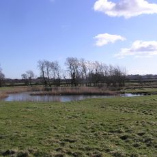
Hell Kettles
4.9 km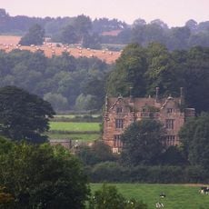
Sockburn Hall
2.8 km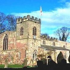
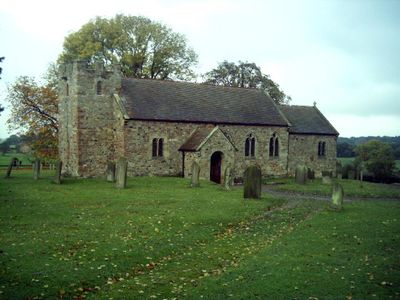
St Peter's Church
3.7 km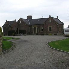
Cowton railway station
4.6 km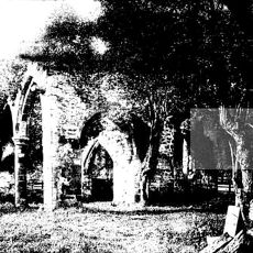
All Saints Church, Sockburn
3 km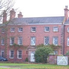
The Old Hall
2.5 km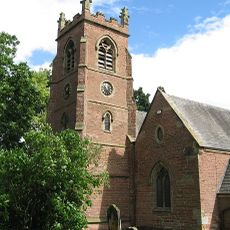
Church of St John the Baptist
3.8 km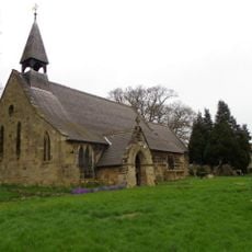
Church of St Eloy
4.6 km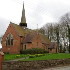
Parish Church of All Saints
5.3 km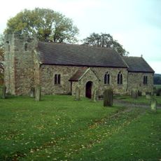
Church of St Mary the Virgin
704 m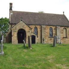
Church of All Saints
3.1 km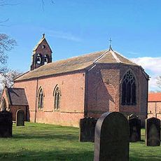
Church of St Peter
6 km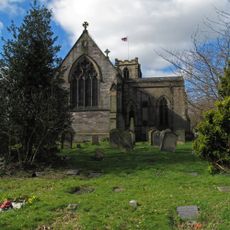
Church of All Saints
2.3 km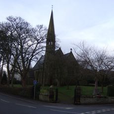
Church of St Lawrence
4.8 km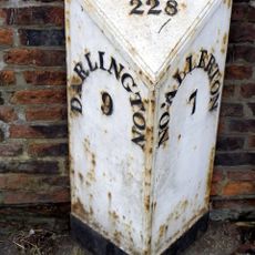
Milepost Approximately 30 Metres To South East Of Church Of St Eloy
4.7 km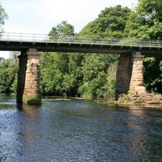
Over Dinsdale Bridge
3.8 km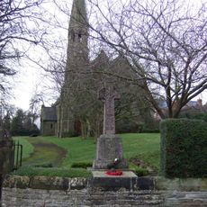
Middleton One Row St Laurence's War Memorial
4.8 km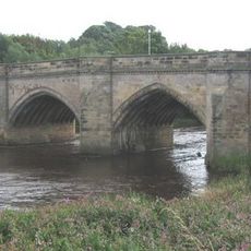
Croft Bridge
3.6 km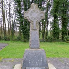
East Cowton War Memorial
5.3 km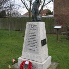
No. 6 Group RCAF Memorial, Dalton On Tees
2.5 km
Tees Railway Bridge
3.3 km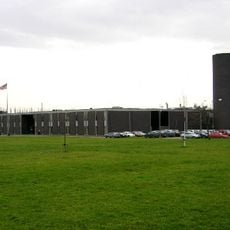
The Cummins Engine Factory Including Chimney
5.4 km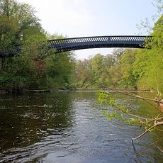
Neasham Hall Bridge
1.1 km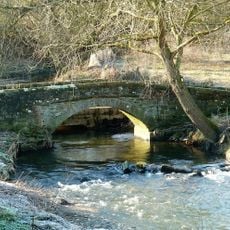
Clow Beck Packhorse Bridge
4.5 km
Milepost Approximately 500 Metres To North Of Salutation Farmhouse
6.1 km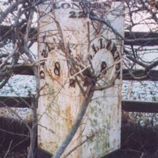
Milepost Approximately 30 Metres To South East Of High Enter Common Farm
3.2 km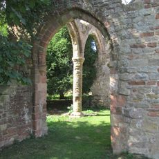
Pre-Conquest and post-Conquest church and graveyard and medieval and post-medieval manors at Sockburn
3 kmHa visitato questo luogo? Tocchi le stelle per valutarlo e condividere la Sua esperienza o foto con la community! Provalo ora! Puoi annullarlo in qualsiasi momento.
Scopri tesori nascosti ad ogni viaggio!
Da piccoli caffè caratteristici a panorami nascosti, fuggi dalla folla e scova i posti che fanno davvero per te. La nostra app ti semplifica tutto: ricerca vocale, filtri furbi, percorsi ottimizzati e dritte autentiche da viaggiatori di tutto il mondo. Scaricala subito per vivere l'avventura sul tuo smartphone!

Un nuovo approccio alla scoperta turistica❞
— Le Figaro
Tutti i luoghi che meritano di essere esplorati❞
— France Info
Un’escursione su misura in pochi clic❞
— 20 Minutes