
Long Crichel, village in the United Kingdom
Posizione: Crichel
Posizione: East Dorset
Coordinate GPS: 50.89100,-2.03400
Ultimo aggiornamento: 30 aprile 2025 alle 08:35
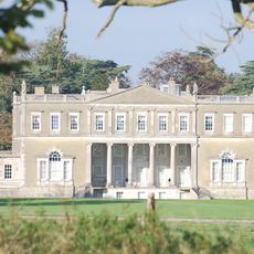
Crichel House
2.5 km
Chettle House
4 km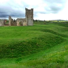
Knowlton Circles
4.7 km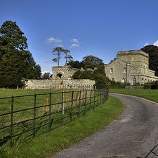
Eastbury Park
5.1 km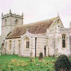
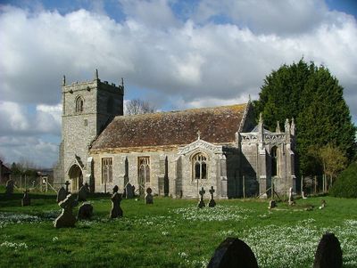
St Mary's Church, Long Crichel
109 m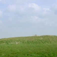
Two long barrows on Gussage Hill
3.9 km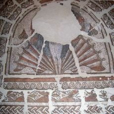
East Hemsworth Roman villa
4.5 km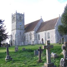
Church of All Saints
2.2 km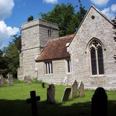
Church of All Saints
3.6 km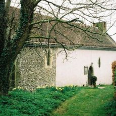
Church of St Andrew
4.1 km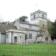
Church of St Michael
1.5 km
Church of St Mary, St Cuthberga And All Saints
3.9 km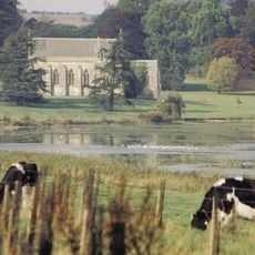
Church of St Mary
2.6 km
Church of St Mary
4 km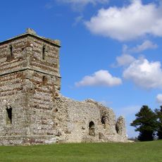
Ruins of Knowlton Church
4.7 km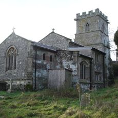
Church of St Mary
4.2 km
Didlington Lodge
4.2 km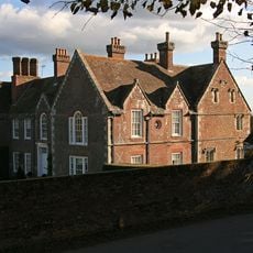
Abbey House
4 km
Milestone
3.3 km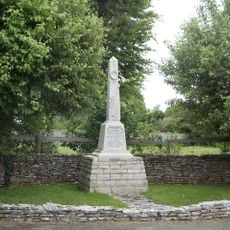
Tarrant Monkton and Launceston War Memorial
3.5 km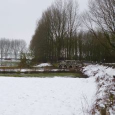
Stanbridge Bridge
3.9 km
Milestone(At Gr St 946 1
3.3 km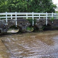
Footbridge Over The River Tarrant Of Monkton Ford
3.4 km
Eastbury House
5.1 km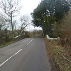
Witchampton Bridge
4.2 km
Packhorse Bridge Approximately 35M South Of Ryall's Farmhouse.
2.4 km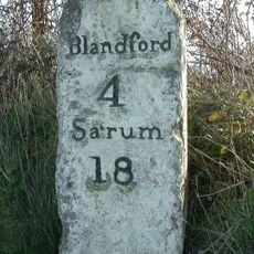
Milestone At (Gr St 931 107)
4.7 km
Milestone, SE of Chettle on main road; opp. Plantation farm
3 kmHa visitato questo luogo? Tocchi le stelle per valutarlo e condividere la Sua esperienza o foto con la community! Provalo ora! Puoi annullarlo in qualsiasi momento.
Scopri tesori nascosti ad ogni viaggio!
Da piccoli caffè caratteristici a panorami nascosti, fuggi dalla folla e scova i posti che fanno davvero per te. La nostra app ti semplifica tutto: ricerca vocale, filtri furbi, percorsi ottimizzati e dritte autentiche da viaggiatori di tutto il mondo. Scaricala subito per vivere l'avventura sul tuo smartphone!

Un nuovo approccio alla scoperta turistica❞
— Le Figaro
Tutti i luoghi che meritano di essere esplorati❞
— France Info
Un’escursione su misura in pochi clic❞
— 20 Minutes