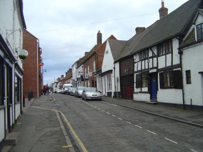
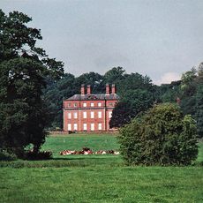
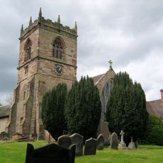
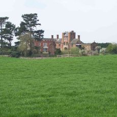
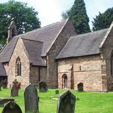
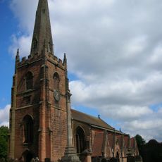
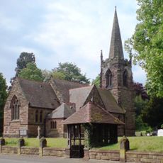
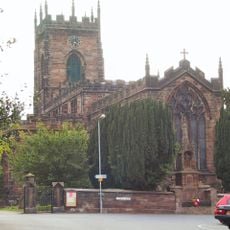
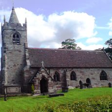
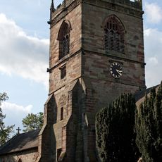
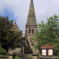
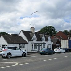
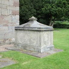
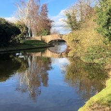
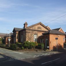
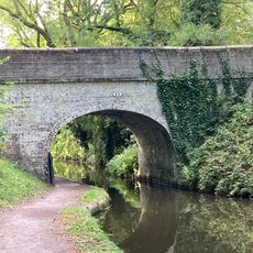
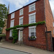
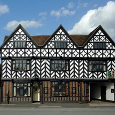
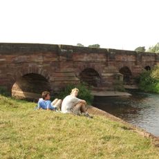
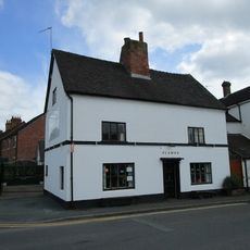
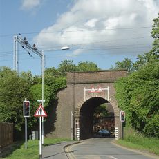
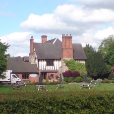
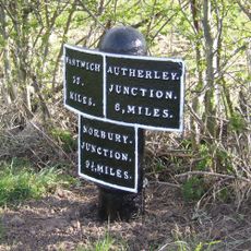
Penkridge, town and civil parish in South Staffordshire, UK
Posizione: South Staffordshire
Coordinate GPS: 52.72520,-2.11640
Ultimo aggiornamento: 3 aprile 2025 alle 07:38
Stretton Hall, Staffordshire
4.3 km
Lapley Priory
5.1 km
Pillaton Hall
2.4 km
Belvide Reservoir
6.8 km
Speedwell Castle
6.6 km
Stretton Aqueduct
6 km
Penkridge Viaduct
294 m
St John's Church, Stretton
4.4 km
Church of St Mary and St Chad
6.7 km
Church of St Leonard
3.6 km
Church of St Michael and All Angels
94 m
Church of St James
3.6 km
Church of All Saints
5.1 km
Church of All Saints
4.9 km
Aspley Family Memorial Approximately 7 Yards North North East Of West Tower Of Church Of St James
3.6 km
The Railway Inn
163 m
John Barlow Memorial Approximately One Yard South Of Chancel Of Church Of St James
3.6 km
Staffordshire And Worecestershire Canal Acton Moat Bridge
3.8 km
Penkridge Library
323 m
Shropshire Union Canal Number 13 (School Bridge)
7 km
Dean House
6.8 km
The White Hart
102 m
Cuttlestone Bridge
876 m
Corner House
211 m
Railway Bridge Approximately 20 Yards West Of Church Farmhouse
187 m
Moat House
3.7 km
Shropshire Union Canal Milepost At Sj 874 104
6.1 km
Westgate, Forecourt Wall And Gate Piers
6.8 kmHa visitato questo luogo? Tocchi le stelle per valutarlo e condividere la Sua esperienza o foto con la community! Provalo ora! Puoi annullarlo in qualsiasi momento.
Scopri tesori nascosti ad ogni viaggio!
Da piccoli caffè caratteristici a panorami nascosti, fuggi dalla folla e scova i posti che fanno davvero per te. La nostra app ti semplifica tutto: ricerca vocale, filtri furbi, percorsi ottimizzati e dritte autentiche da viaggiatori di tutto il mondo. Scaricala subito per vivere l'avventura sul tuo smartphone!
Un nuovo approccio alla scoperta turistica❞
— Le Figaro
Tutti i luoghi che meritano di essere esplorati❞
— France Info
Un’escursione su misura in pochi clic❞
— 20 Minutes