
Langtoft, village in the East Riding of Yorkshire, England, United Kingdom
Posizione: East Riding of Yorkshire
Coordinate GPS: 54.08813,-0.45783
Ultimo aggiornamento: 3 marzo 2025 alle 22:38
Danes Graves
3.8 km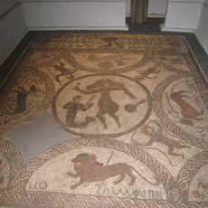
Rudston Roman villa
8 km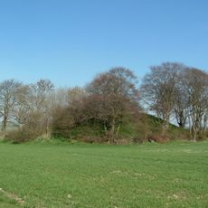
Willy Howe
7.5 km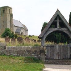
Church of St Andrew
6 km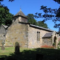
Church of All Saints
7.2 km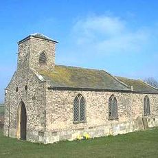
Church of Saint Nicholas
7.6 km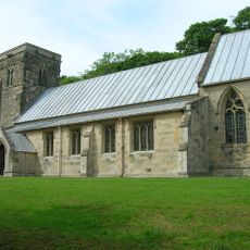
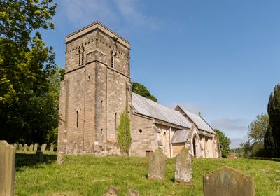
Church of Saint Peter
183 m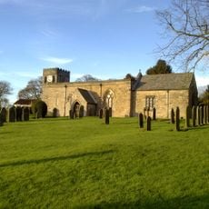
Church of All Saints
5.1 km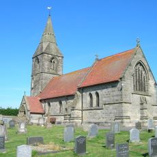
Church of St Peter
6.7 km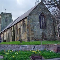
Church of All Saints
6 km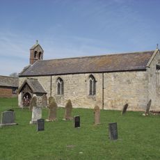
Church of St Nicholas
4.9 km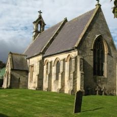
Church of St Mary
4.6 km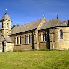
Church of St Mary
6.3 km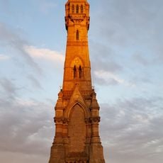
Sir Tatton Sykes Memorial Tower
7.3 km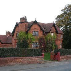
The Villa
7.9 km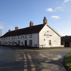
The Anvil Arms Public House And Cottage Adjoining To Left
7.1 km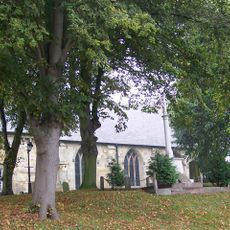
Kilham War Memorial
6 km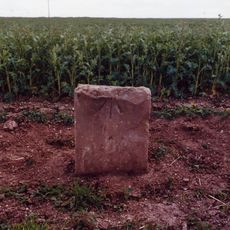
Milestone, W of Cowlam X rds
5.1 km
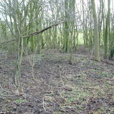
Swaythorpe medieval settlement
3.5 km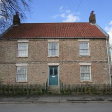
High Farmhouse
5.5 km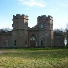
The Castle
6.5 km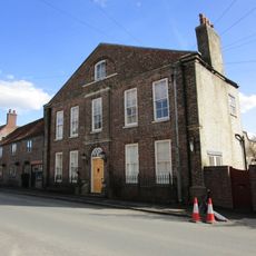
Hall Farmhouse
6.1 km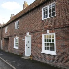
Rutland House
6 km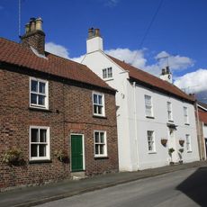
Eastgate House
6.1 km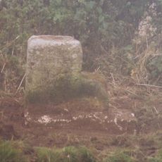
Milestone, between Little Kendale and Field House Farm
7.6 km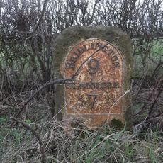
Milestone, ¼ mile W of jct. to Octon
3.4 km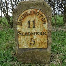
Milestone, 1 mile W of X rds B1249
2.2 km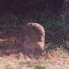
Milestone, W end of Garton on the Wolds village
7.8 kmHa visitato questo luogo? Tocchi le stelle per valutarlo e condividere la Sua esperienza o foto con la community! Provalo ora! Puoi annullarlo in qualsiasi momento.
Scopri tesori nascosti ad ogni viaggio!
Da piccoli caffè caratteristici a panorami nascosti, fuggi dalla folla e scova i posti che fanno davvero per te. La nostra app ti semplifica tutto: ricerca vocale, filtri furbi, percorsi ottimizzati e dritte autentiche da viaggiatori di tutto il mondo. Scaricala subito per vivere l'avventura sul tuo smartphone!

Un nuovo approccio alla scoperta turistica❞
— Le Figaro
Tutti i luoghi che meritano di essere esplorati❞
— France Info
Un’escursione su misura in pochi clic❞
— 20 Minutes