Attiva posizione

Abbiamo bisogno della tua posizione per mostrarti luoghi interessanti intorno a te

Scopri luoghi nelle vicinanze

Trova luoghi interessanti e gemme nascoste intorno a te

Indicazioni precise

Ottieni indicazioni precise e distanze verso i luoghi

La tua posizione non viene mai condivisa con altri utenti. Viene utilizzata solo quando tocchi il pulsante posizione.

Asthall

Accedi al tuo account

Inizia a esplorare — è gratis

Scelto da 63.127 viaggiatori nel mondo

Continua con Google
Continua con Apple
o

Ti invieremo un codice per connetterti

Continuando, accetti i nostri Termini e Condizioni e la nostra Informativa sulla Privacy

Controlla la tua casella di posta

Abbiamo inviato un codice PIN nella tua casella di posta. Inserisci il codice qui sotto.

Discussion Recensioni 1 Foto
5k Popolarità

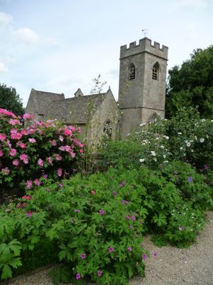
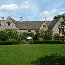
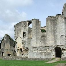
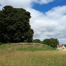
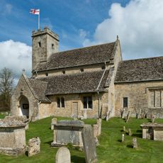
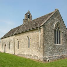
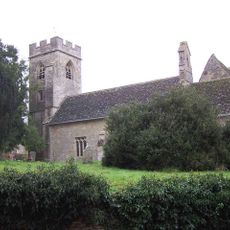
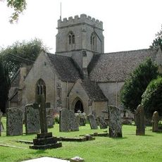
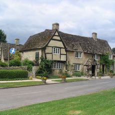
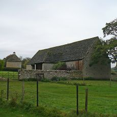
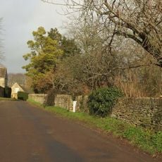
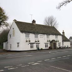
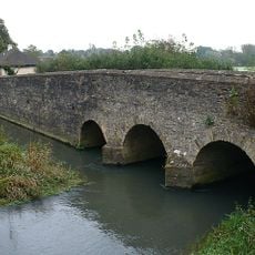
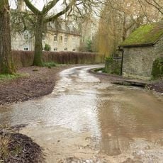
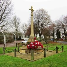
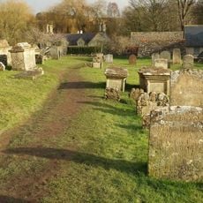
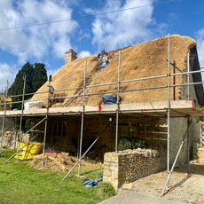
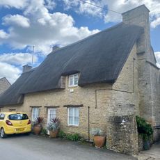
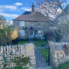
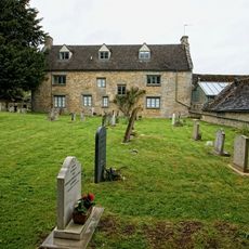
Asthall, village and civil parish in West Oxfordshire, England

La comunità dei viaggiatori curiosi

AroundUs riunisce migliaia di luoghi selezionati, consigli locali e gemme nascoste, arricchiti ogni giorno da oltre 60,000 contributori in tutto il mondo.

Inizia a esplorare
Posizione
Confina con
Swinbrook and Widford, Leafield, Crawley, Minster Lovell, Brize Norton
Coordinate GPS
51.80000,-1.58300
Ultimo aggiornamento
3 marzo 2025 alle 00:39
Intorno a questo luogo
Asthall Manor
Regno Unito

Asthall Manor

183 m
Minster Lovell Hall
Regno Unito

Minster Lovell Hall

3.6 km
Asthall Barrow: an Anglo-Saxon burial mound 100m SSW of Barrow Farm
Regno Unito

Asthall Barrow: an Anglo-Saxon burial mound 100m SSW of Barrow Farm

1.3 km
Church of St Mary, Swinbrook
Regno Unito

Church of St Mary, Swinbrook

1.2 km
Church of St Oswald
Regno Unito

Church of St Oswald

1.7 km
Church of Saint Nicholas
Regno Unito

Church of Saint Nicholas

144 m
Church of Saint Kenelm
Regno Unito

Church of Saint Kenelm

3.5 km
The Old Swan Hotel
Regno Unito

The Old Swan Hotel

3 km
Barn Approximately 55 Metres East South East Of Manor Farmhouse
Regno Unito

Barn Approximately 55 Metres East South East Of Manor Farmhouse

3.6 km
Swinbrook Manor House
Regno Unito

Swinbrook Manor House

1.2 km
The White Hart Public House
Regno Unito

The White Hart Public House

2.7 km
Minster Lovell Bridge
Regno Unito

Minster Lovell Bridge

3 km
The Bell House
Regno Unito

The Bell House

1.1 km
Chest Tomb To Deodalus Collis And 2 Low Chest Tombs Approximately 11 Metres North West Of Church Of Saint Kenelm
Regno Unito

Chest Tomb To Deodalus Collis And 2 Low Chest Tombs Approximately 11 Metres North West Of Church Of Saint Kenelm

3.5 km
Minster Lovell War Memorial
Regno Unito

Minster Lovell War Memorial

2.6 km
Group Of 6 Chest Tombs Approximately 7-10 Metres South Of Church Of St Mary
Regno Unito

Group Of 6 Chest Tombs Approximately 7-10 Metres South Of Church Of St Mary

1.2 km
Tullochs Cottage
Regno Unito

Tullochs Cottage

3.1 km
The Old Post Office
Regno Unito

The Old Post Office

3.1 km
Lancut
Regno Unito

Lancut

4.8 km
Chest Tomb To Mary,Wife Of Thomas Green,Approximately 8 Metres North Of West End Of Church Of Saint Kenelm
Regno Unito

Chest Tomb To Mary,Wife Of Thomas Green,Approximately 8 Metres North Of West End Of Church Of Saint Kenelm

3.5 km
Cross Base Approximately 10 Metres West Of The Old Swan Hotel
Regno Unito

Cross Base Approximately 10 Metres West Of The Old Swan Hotel

3 km
Swinbrook Place
Regno Unito

Swinbrook Place

1.1 km
The Rosery
Regno Unito

The Rosery

3.1 km
The Old Post House
Regno Unito

The Old Post House

3.3 km
Minster Lovell Manor Dovecot
Regno Unito

Minster Lovell Manor Dovecot

3.6 km
Manor Farmhouse
Regno Unito

Manor Farmhouse

3.5 km
Milestone, W of Barrow Plantation, on ridge above Astall; between A40 roundabout & turn to Brize
Regno Unito

Milestone, W of Barrow Plantation, on ridge above Astall; between A40 roundabout & turn to Brize

1.2 km
Milestone, Burford Road; at western edge of houses in Curbridge Downs; just outside 30mph zone
Regno Unito

Milestone, Burford Road; at western edge of houses in Curbridge Downs; just outside 30mph zone

3.9 km
Mostra la mappa completa
Recensioni
Condividi la tua esperienza

No review yet

Discussioni
Avvia una discussione...

No discussion yet

« Asthall - village and civil parish in West Oxfordshire, England » è fornito da Around Us (it.aroundus.com). Le immagini e i testi sono tratti dal progetto Wikimedia con licenza Creative Commons. È possibile copiare, distribuire e modificare copie di questa pagina, alle condizioni stabilite dalla licenza, a condizione che questa nota sia chiaramente visibile.

Scopri tesori nascosti ad ogni viaggio!

Da piccoli caffè caratteristici a panorami nascosti, fuggi dalla folla e scova i posti che fanno davvero per te. La nostra app ti semplifica tutto: ricerca vocale, filtri furbi, percorsi ottimizzati e dritte autentiche da viaggiatori di tutto il mondo. Scaricala subito per vivere l'avventura sul tuo smartphone!

Around Us App Screenshot

Un nuovo approccio alla scoperta turistica

Le Figaro

Tutti i luoghi che meritano di essere esplorati

France Info

Un’escursione su misura in pochi clic

20 Minutes

Around Us
Guida di viaggio e mappe
Scarica

Invia al tuo telefono

QR Code
1

Apri l'app fotocamera sul tuo cellulare.

2

Inquadra il codice QR con la fotocamera. Apparirà una notifica.

3

Tocca la notifica per aprire il link.