
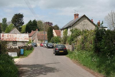
Pitney, village in the United Kingdom
Posizione: South Somerset
Coordinate GPS: 51.05190,-2.78910
Ultimo aggiornamento: 3 marzo 2025 alle 19:03
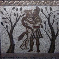
Low Ham Roman Villa
1.8 km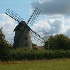
Stembridge Mill, High Ham
3.5 km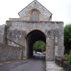
The Hanging Chapel
3 km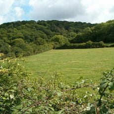
Aller and Beer Woods
4.9 km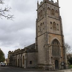
Church of All Saints, Langport
3 km
Church of the Blessed Virgin Mary, Huish Episcopi
2.7 km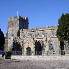
St Andrew's Church
3.5 km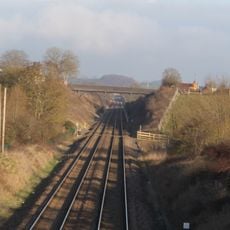
Langport Railway Cutting
2.4 km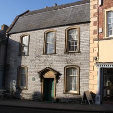
Tudor House
3.2 km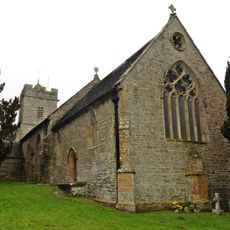
Church of St Andrew
5.2 km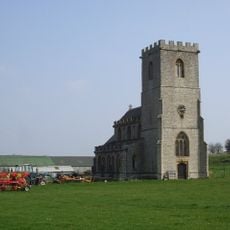
Church without dedication, High Ham
1.7 km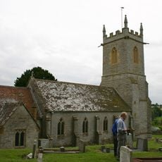
Church of Saint John Baptist
355 m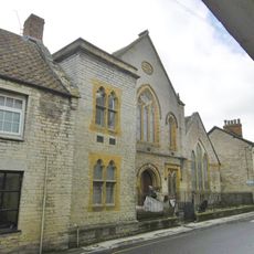
Somerton United Reform Church, Schoolrooms, And Front Boundary Railings
4.1 km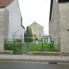
Somerton Methodist Church
4.2 km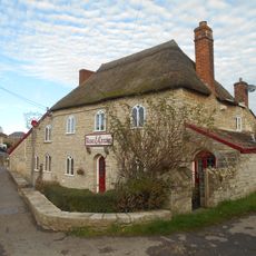
The Rose And Crown Inn
2.5 km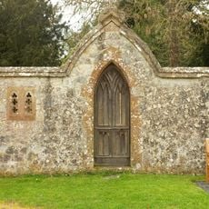
Portion Of East Boundary Wall To Ham Court, 15 Metres South Of Church Of Saint Andrew
3.5 km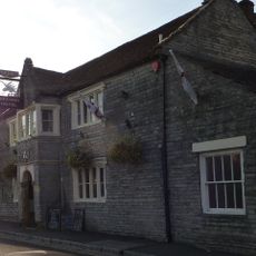
The Unicorn
4.1 km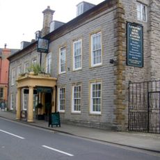
The Langport Arms Hotel
3.2 km
Laburnum House
3.4 km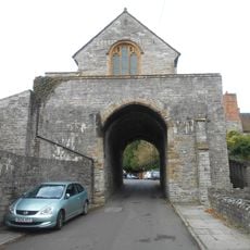
The Hanging Chapel and a medieval gateway at The Hill
2.9 km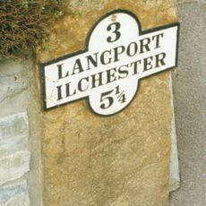
Milestone In Front Boundary Wall, No.21 (House Not Included In List)
2.7 km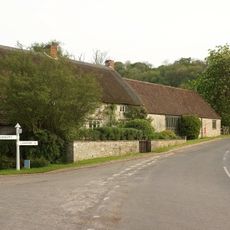
Windsor Farmhouse And Attached Outbuildings
4.4 km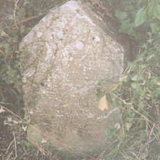
Milestone, a mile S of Somerton
3.3 km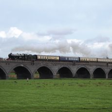
Langport Viaduct
3.2 km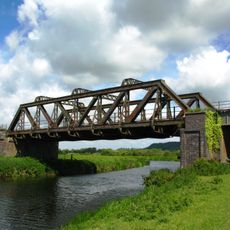
Langport railway bridge
3.4 km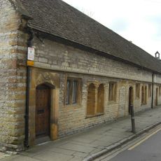
The Hext Almshouses
4 km
Milestone, half mile NW of Long Sutton
2.7 km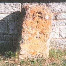
Milestone, W end of Somerton
3.1 kmHa visitato questo luogo? Tocchi le stelle per valutarlo e condividere la Sua esperienza o foto con la community! Provalo ora! Puoi annullarlo in qualsiasi momento.
Scopri tesori nascosti ad ogni viaggio!
Da piccoli caffè caratteristici a panorami nascosti, fuggi dalla folla e scova i posti che fanno davvero per te. La nostra app ti semplifica tutto: ricerca vocale, filtri furbi, percorsi ottimizzati e dritte autentiche da viaggiatori di tutto il mondo. Scaricala subito per vivere l'avventura sul tuo smartphone!

Un nuovo approccio alla scoperta turistica❞
— Le Figaro
Tutti i luoghi che meritano di essere esplorati❞
— France Info
Un’escursione su misura in pochi clic❞
— 20 Minutes