
Milston, village in Wiltshire, England
Posizione: Wiltshire
Coordinate GPS: 51.20648,-1.76816
Ultimo aggiornamento: 25 marzo 2025 alle 03:28

Durrington Walls
1.9 km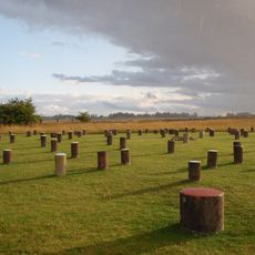
Woodhenge
2.3 km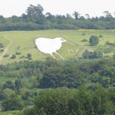
Bulford Kiwi
4 km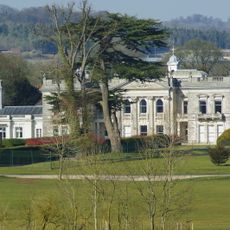
Tedworth House
7.3 km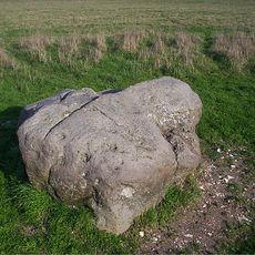
Cuckoo Stone
2.5 km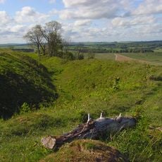
Sidbury Camp
7.4 km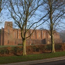
Church of St Alban the Martyr
2.9 km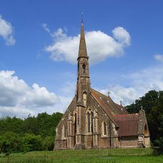
St Mary's Church, South Tidworth
7.6 km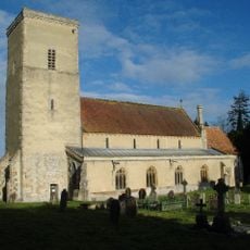
Church of All Saints
3.5 km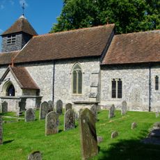
Church of St Peter
7 km
Church of St Michael and All Angels
2.4 km
Church of All Saints
4.6 km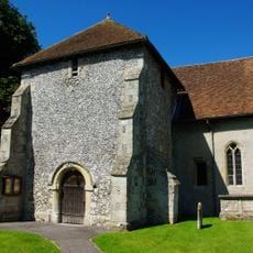
Church of St Leonard
1.6 km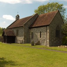
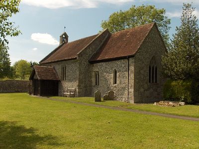
Church of St Mary
109 m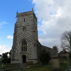
Church of All Saints
720 m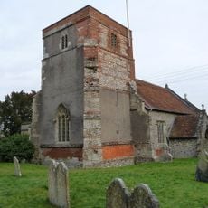
Church of the Holy Trinity
8.1 km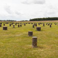
Henge monuments at Durrington Walls and Woodhenge, a round barrow cemetery, two additional round barrows and four settlements
2.1 km
Tidworth Library
8.2 km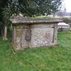
Dyke Monument In Churchyard, 11 Metres North West Of Tower, Church Of All Saints
3.5 km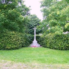
Shipton Bellinger War Memorial
7 km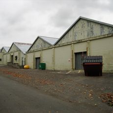
Buildings 455 and 456 (Five Aircraft Hangars), Durrington Camp
2.6 km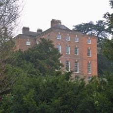
Netheravon House
3.4 km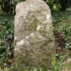
Milestone At Junction With Turnpike Road, A345
3.6 km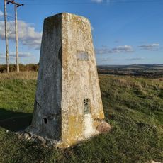
Triangulation Pillar
4.1 km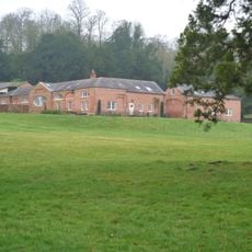
Stables To Netheravon House
3.4 km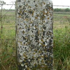
Milestone, Earl's Farm Down; 70m N of barrows
3.6 km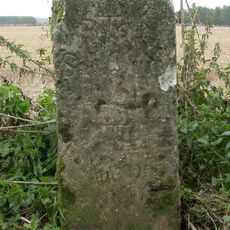
Milestone, N of Bulford Camp; 100m S of MOD red gate
2.9 km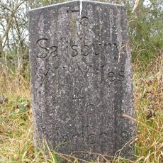
Milepost, Brigmerston Plantation; 150m S of MOD red gate
4.7 kmHa visitato questo luogo? Tocchi le stelle per valutarlo e condividere la Sua esperienza o foto con la community! Provalo ora! Puoi annullarlo in qualsiasi momento.
Scopri tesori nascosti ad ogni viaggio!
Da piccoli caffè caratteristici a panorami nascosti, fuggi dalla folla e scova i posti che fanno davvero per te. La nostra app ti semplifica tutto: ricerca vocale, filtri furbi, percorsi ottimizzati e dritte autentiche da viaggiatori di tutto il mondo. Scaricala subito per vivere l'avventura sul tuo smartphone!

Un nuovo approccio alla scoperta turistica❞
— Le Figaro
Tutti i luoghi che meritano di essere esplorati❞
— France Info
Un’escursione su misura in pochi clic❞
— 20 Minutes