
Eaton Hastings, village and civil parish in Vale of White Horse, Oxfordshire, England
Posizione: Vale of White Horse
Confina con: Kelmscott, Buscot, Great Coxwell, Great Faringdon, Grafton and Radcot
Coordinate GPS: 51.68500,-1.62100
Ultimo aggiornamento: 4 marzo 2025 alle 02:01

Kelmscott Manor
1.2 km
Buscot Park
2.6 km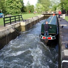
Buscot Lock
3.3 km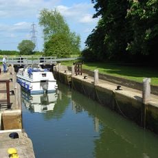
Grafton Lock
1 km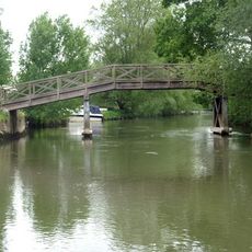
Eaton Footbridge
1.6 km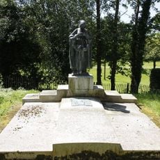
Faringdon Tomb Approximately 3 Metres To West Of St Michael's Church
30 m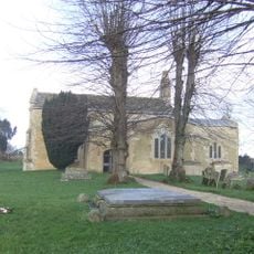
Church of St George
1.6 km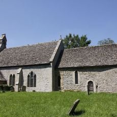
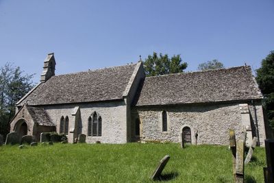
Church of St Michael
28 m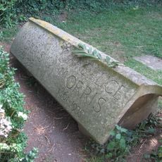
Morris Memorial Approximately 20 Metres South East Of Chancel Of Church Of St George
1.6 km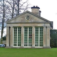
Buscot Park: West Pavilion With Attached Terrace Walls And Gatepier
2.6 km
Buscot Park: East Pavilion With Attached Terrace Walls And Gatepier
2.6 km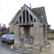
Village Well
3.3 km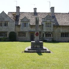
Eaton Hastings War Memorial
1.8 km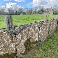
Stone slab fence enclosing and dividing gardens of numbers 1 and 4 Manor Cottages continuing to south east along road to Garden Cottage
1.3 km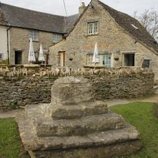
Cross Base And Steps Approximately 15 Metres North Of The Plough
1.5 km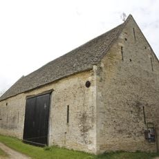
Barn Approximately 20 Metres South East Of Kelmscott Manor
1.2 km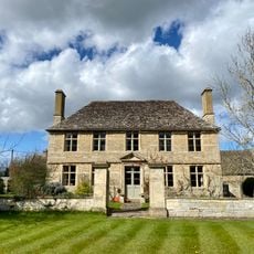
Manor Farmhouse With Attached Wall And Gate Pier
1.4 km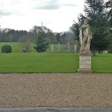
Buscot Park: Southern Screen With Attached Terrace Walls And Gate Piers
2.7 km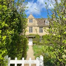
Lower House
1.5 km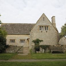
Village Hall
1.5 km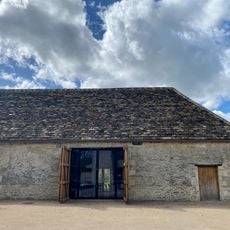
Barn Approximately 15 Metres South Of Kelmscott Manor
1.2 km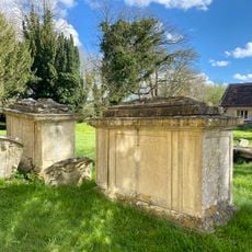
Ford Memorial,C18 Chest Tomb And Two C17 Monuments Approximately 2-5 Metres South Of South Transept Of Church Of St George
1.6 km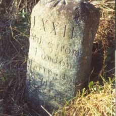
Milestone approximately 70 metres to west of turning to Great Coxwell
4 km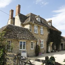
Manor Farmhouse
3.4 km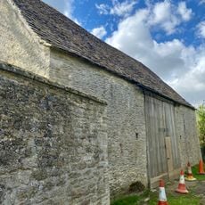
Barn Approximately 25 Metres North East Of Kelmscott Manor
1.3 km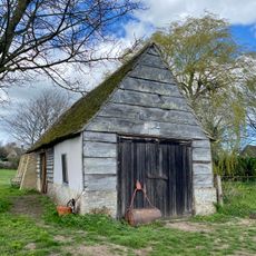
Barn Approximately 40 Metres South West Of Garden Cottage
1.3 km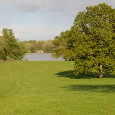
Buscot Park: Bridge Over The Lake, Approximately 50 Metres South Of Basque House
2 km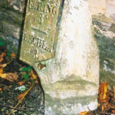
Milestone, Lechlade Road; against wall of Buscot House, 300m E of main gate
2.1 kmRecensioni
Ha visitato questo luogo? Tocchi le stelle per valutarlo e condividere la Sua esperienza o foto con la community! Provalo ora! Puoi annullarlo in qualsiasi momento.
Scopri tesori nascosti ad ogni viaggio!
Da piccoli caffè caratteristici a panorami nascosti, fuggi dalla folla e scova i posti che fanno davvero per te. La nostra app ti semplifica tutto: ricerca vocale, filtri furbi, percorsi ottimizzati e dritte autentiche da viaggiatori di tutto il mondo. Scaricala subito per vivere l'avventura sul tuo smartphone!

Un nuovo approccio alla scoperta turistica❞
— Le Figaro
Tutti i luoghi che meritano di essere esplorati❞
— France Info
Un’escursione su misura in pochi clic❞
— 20 Minutes